PCT Map #9 S Washington

PCT Map 9 Southern Washington State

Pacific Crest Trail
Pacific Crest National Scenic Trail
PCT – Hiking Map 9

USDA PCT Map 9

Columbia River to Snoqualmie Pass

Cascade Mountains in Washington state. Areas include – Norse Peak Wilderness, Chinook Pass, Green Pass, Tacoma Pass, Government Meadow, William O Douglas Wilderness, Old Snowy Mountain, White Pass, Carlton Pass, Tieton Pass, Panther Creek Campground, Crest Horse Camp, Goat Rocks Wilderness, Sawtooth Mountain, Surprise Lakes Campground, Wind River, Horse Camp, Indian Heaven Wilderness. USDA National Forest Map. Large fold out map, durable waterproof paper w/ sturdy cardboard cover. ISBN# 9781593515379

USDA PCT Map 9

see also –

Columbia River Map
PCT Map #10 N Washington
PCT Map #8 N Oregon

Pacific Crest Trail Guide Books

PCT Hiking Guide BooksPCT Hiking Guide Books
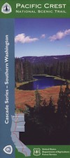
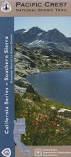
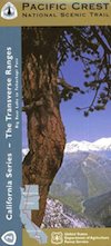
Find Pacific Crest Trail Maps

PCT Hiking Guide Books

Listed below are the top rated books for the Pacific Crest Trail.

PCT Hiking Guide Books

PCT Hiking Guide Books

PCT Hiking Guide Books

PCT Hiking Guide Books

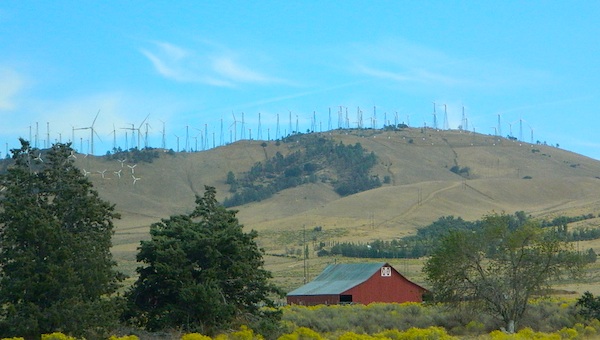
The Pacific Crest Trail, officially designated as the Pacific Crest National Scenic Trail, is a long-distance hiking and equestrian trail closely aligned with the highest portion of the Cascade and Sierra Nevada mountain ranges, which lie 100 to 150 miles east of the U.S. Pacific coast. The trail’s southern terminus is just south of Campo, California by the U.S. border with Mexico, and its northern terminus is on the Canada–US border on the edge of Manning Park in British Columbia; it passes through the states of California, Oregon, and Washington.

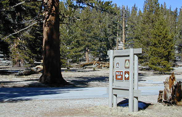
The Pacific Crest Trail is 2,653 miles long and ranges in elevation from just above sea level at the Oregon–Washington border on the Bridge of the Gods to 13,153 feet at Forester Pass in the Sierra Nevada. The route passes through 25 national forests and 7 national parks. Its midpoint is near Mount Lassen, where the Sierra and Cascade mountain ranges meet.

Thru hiking is a term used in referring to hikers who complete long-distance trails from end to end in a single trip. Thru-hiking is a long commitment, usually taking between four and six months, that requires thorough preparation and dedication. The Pacific Crest Trail Association estimates that it takes most hikers between six and eight months to plan their trip.

While most hikers travel from the southern terminus at the Mexico–US border northward to Manning Park, British Columbia, some hikers prefer a southbound route. In a normal weather year, northbound hikes are most practical due to snow and temperature considerations. Additionally, some hiker services are seasonal and may be better timed for northbound hikers.

see also – 

Recreation Maps of California
National Forest Atlases
Wilderness Maps  

PCT Map #3 South Sierra

USDA PCT Map 3

PCT Map 3 Southern Sierra Nevada Mountains

Pacific Crest Trail National Scenic Trail
PCT – Hiking Map 3

Tehachapi to La Conte Canyon

Tehachapi Pass, California north to La Conte Canyon @ Kings Canyon National Park. Areas include – Owens Peak Wilderness, Chimney Peak Wilderness, Kennedy Meadows, Deer Mountain, Beck Meadow, Anderson Point, Cow Canyon, Golden Trout Wilderness, Olancha Peak, Grouse Meadow, USDA PCT Map 3Muah Mountain, Cottonwood Lakes, Mount Whitney, Tyndall Creek, Kings Kern Divide, Charlotte Lake, Rae Lakes, Fin Dome, Mount Baxter, Taboose Pass, Vennacher Needle, Mount Jepson, Black Divide, Kings Canyon National Park. USDA PCT Map #3, Large fold out map, durable waterproof paper w/ sturdy cardboard cover. ISBN# 9781593514648

USDA PCT Map 3

Tehachapi

Windmills @ Tehachapi

USDA PCT Map 3

River dip @ Kennedy Meadows

USDA PCT Map 3

Cottonwood Camp

see also –

South Sierra Map
Jawbone Canyon Map
Dome Land Wilderness Map
Golden Trout Wilderness Maps
Sequoia National Forest Map
Inyo National Forest Map
Mount Whitney Trail Maps
Kearsarge Pass Trail Map
Kings Canyon Highcountry Map
Sequoia Kings NP Maps

PCT Map #2 Angeles

PCT 2 Map

PCT Map #2 Transverse

(Transverse Ranges / San Andreas Fault)

Big Bear to Tehachapi

Pacific Crest Trail National Scenic Trail
PCT – Hiking Map 2

Big Bear Lake to Tehachapi in Southern Sierra Nevada Mountains. Areas include – Big Bear Lake, Holcomb Valley, Lake Arrowhead, Silverwood Lake, Cajon Junction, Cajon Pass, Wrightwood, Big Pines. Jackson Lake, Mount USDA PCT Map 2Lewis, Crystal Lake, Mt. Williamson, Mt. Waterman, Charleton, Mount Pacifico, San Andreas Fault, Chilao Campground, Angeles Crest, Angeles Forest Highway, Los Angeles Forests, Messenger Peak, Lightning Point, Indian Canyon, Agua Dulce, Bouquet Canyon, Elizabeth Lake, Antelope Valley. Large fold out map, durable waterproof paper w/ sturdy cardboard cover. ISBN# 9781593514433

see also –
Big Bear Trail Map
San Bernardino Mountains Map
San Bernardino National Forest Map
San Gorgonio Wilderness Maps
Angeles National Forest Map
Angeles NatGeo Map
Angeles Hiking Maps
Sequoia National Forest Map