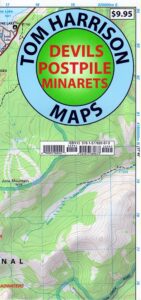
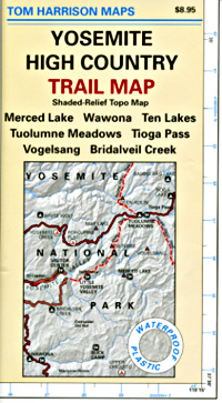
Yosemite High Country Map
by Tom Harrison Maps
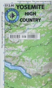
Yosemite High Country Map. Topographic; Backpacking Yosemite Backcountry, Topo Maps of Yosemite National Park Highcountry, Camping Yosemite Park Hiking Trails.
HIGH SIERRA LOOP
TOPO MAP YOSEMITE
Durable, waterproof plastic map; Folded. Map Scale: 63K; ISBN# 9781877689581
Explore the Yosemite high elevation back country with this detailed topographic map, which gives contour lines, trails and information for campers, hikers, and outdoor enthusiasts. GPS compatible w/ complete UTM grid. Beautifully designed over the USGS topographic quads, enhanced with shaded relief.
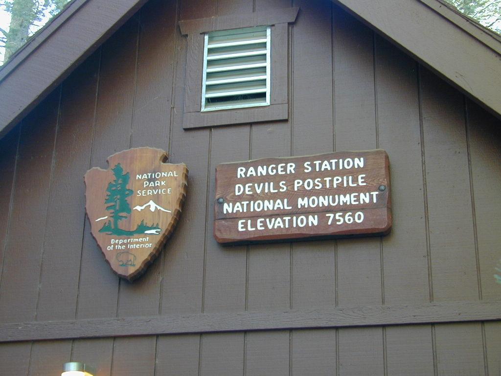
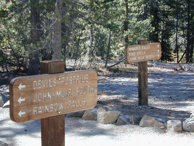
Includes these areas: Merced Lake, Wawona, Ten Lakes, Tuolumne Meadows, Tioga Pass, Vogelsang, Bridalveil Creek
OLD EDITION
![]() download digital version of this map –
download digital version of this map –
Yosemite High Country Map
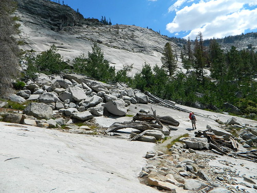
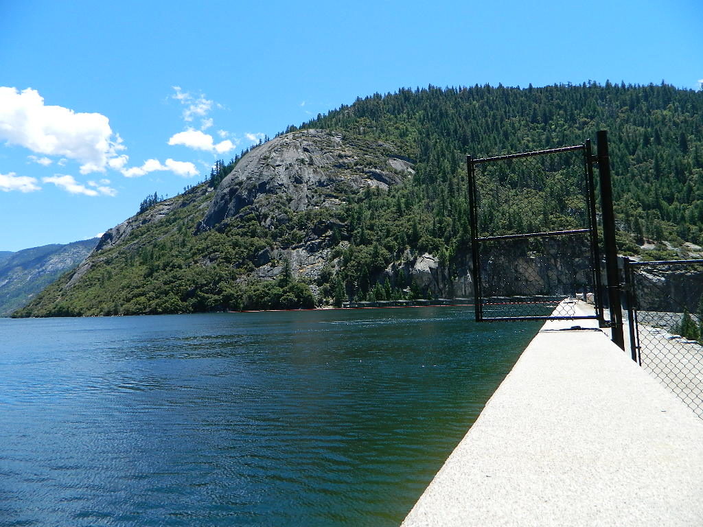
Granite slopes trail hike to Merced Lake
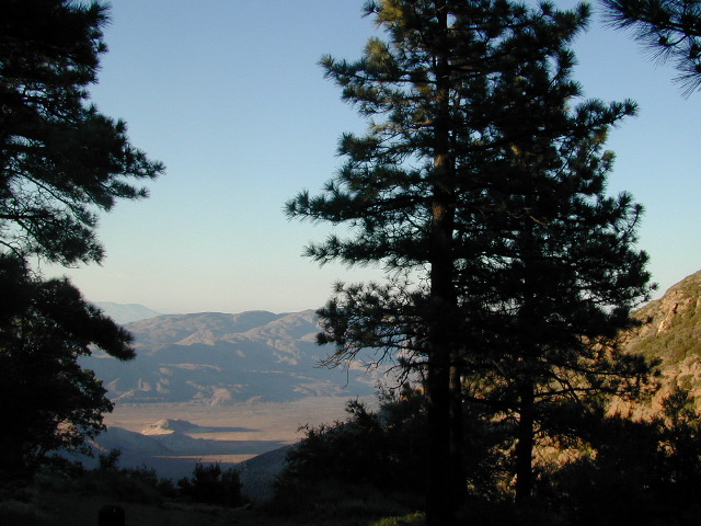
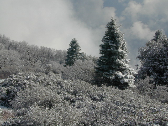
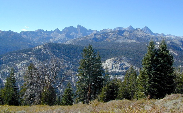
Highest peak in Yosemite National Park with the best granite scenery and alpine lakes, forests, wildlife and of course, epic views around every bend. Horseback or hiking trails are the only way to enjoy this amazing place. But please remember that it is often buried in deep snow more than half the year, so you only get a few months (summer) to enjoy this landscape and hike the best trails in the Sierra.


CLICK TO ENLARGE
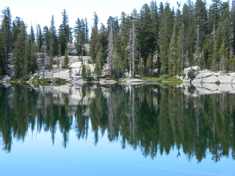
ALPINE LAKES, Yosemite National Park


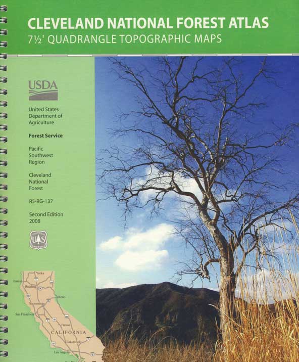
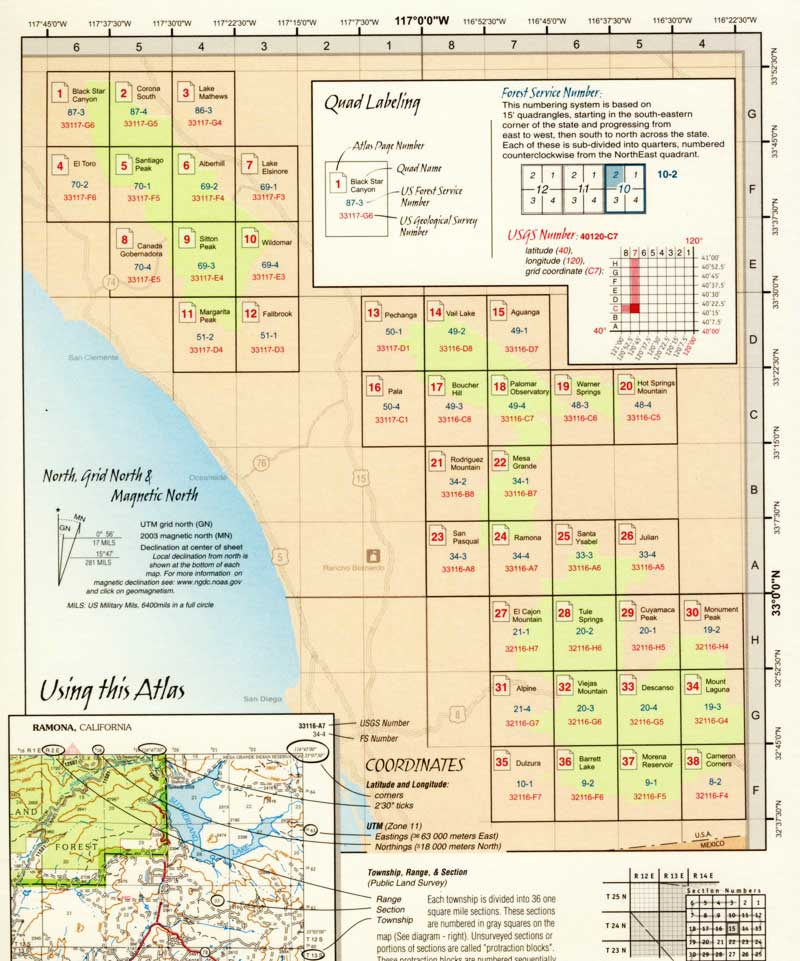
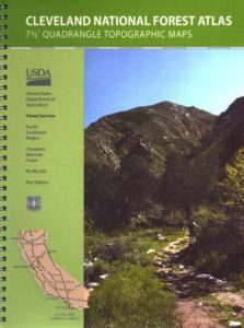
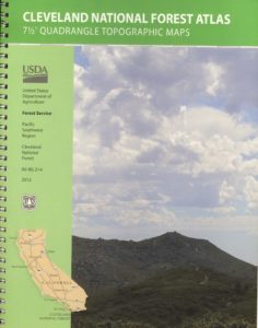
 Cleveland Forest Atlas is a spiral bound book – a collection of all the quads. (7.5 minute topographical maps, of all of Cleveland National Forest; aka. San Diego backcountry) This book map has detailed topo lines, mountain peaks, streams, lakes, hiking trails & back roads. Perfect for all kinds of recreational needs. USDA