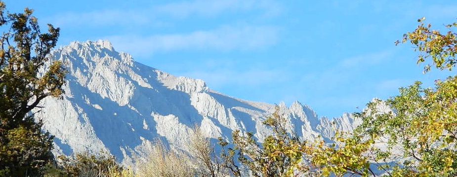
Mount Whitney
by NatGeo Map #322
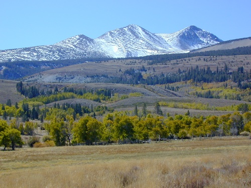
Mount Whitney is universally famous as the highest peak in the contiguous United States, as well as the highest point in California. National Geographic’s Trails Illustrated map of Mount Whitney delivers unmatched detail and valuable information to assist you in your exploration of this beautiful region. Expertly researched and created in partnership with local land management agencies, this map features key areas of interest including Sequoia, Kings Canyon NP, Inyo NF and John Muir Wilderness; South Fork Kern River; Diaz Lake; and Cottonwood Lakes.

 With miles of mapped trails including the popular Pacific Crest and John Muir trails, this map can guide you off the beaten path and back again in some of the most breathtaking scenery in the region. The clearly marked trails include mileage between intersections. A Mount Whitney trail profile inset showing the changes in altitude from various points along the Pacific Crest Trail Junction and the Whitney Portal Trailhead provides a handy tool for hikers. Scenic byways are noted for those wishing to take in the scenery by car. The map base includes contour lines and elevations for summits, passes and many lakes. Some of the many recreation features noted are campgrounds, trailheads, boat launches, swimming and fishing areas, and pack stations. Map includes helpful information about climbing Mount Whitney. (which you should do online and offline, months in advance, if you really plan to hike the peak)
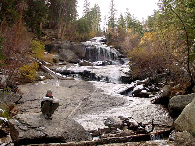
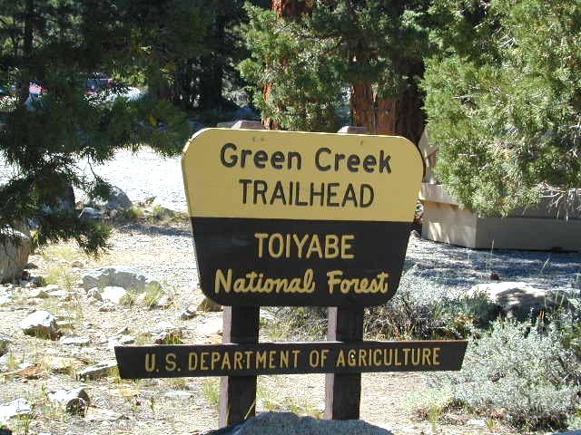
Inyo National Forest 
Whitney Lottery?
USEFUL LINKS:
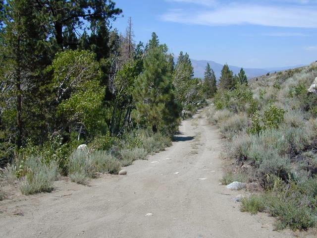
Whitney Portal is a tourists attraction, as well as a NFS campground, and trailhead for the thousands of hikers who visit the area. Whitney Portal Road leads uphill 20 miles from US 395 @ Lone Pine, CA
see also –
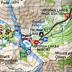
Mt Whitney Zone Map & Mount Whitney Highcountry Map, both by Tom Harrison Maps
Inyo National Forest Topo Atlas
John Muir Wilderness / JMT Maps
![]()
Mount Whitney Topo
by Wilderness Press Maps

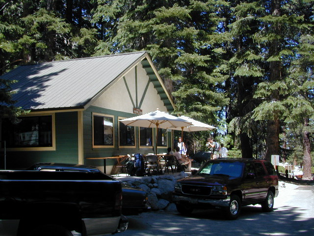
Whitney Portal Store & Cafe
EASTERN SIERRA US 395

nearby towns:

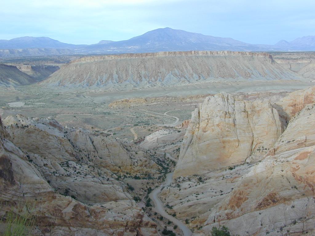


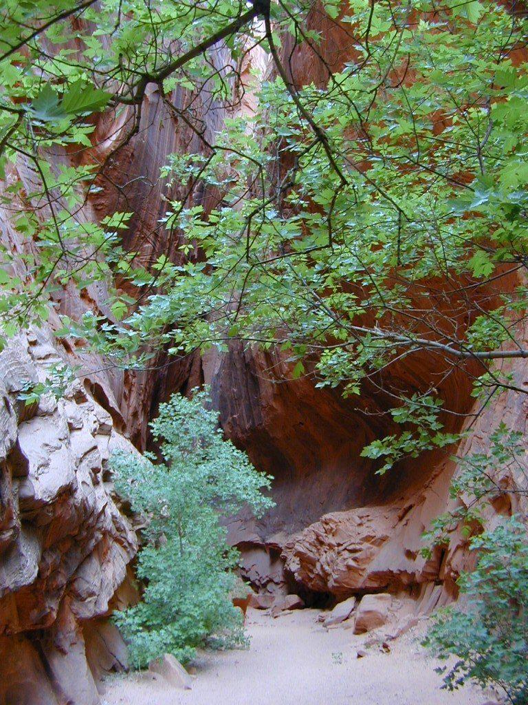


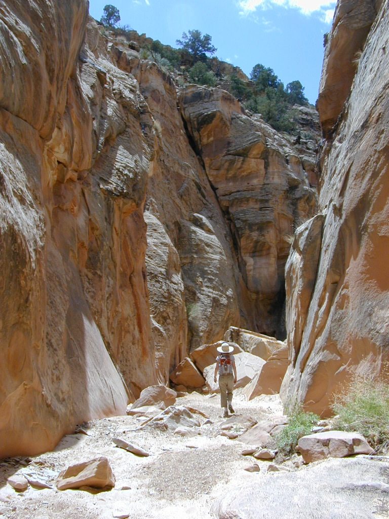
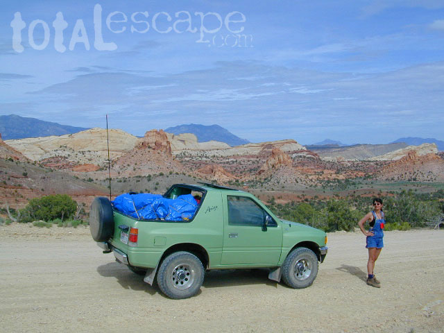
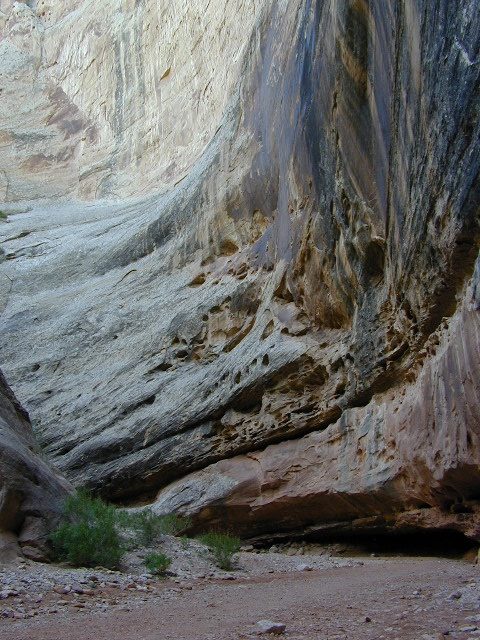
 Capital Reef is a fertile high desert canyon with plenty of great slot canyons and archways to explore. The main campground on the highway is located next to a historic fruit orchard.
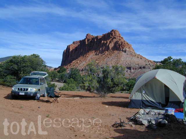
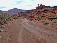
 Cathedral Valley is a cool off-road destination for secluded camping, way off the paved highway. Self sufficient campers only!
 campfire permits are required for back country camping. RV park, motels, market and restaurants available in Torrey.