

Mineral King Hiking Map
by Tom Harrison Maps
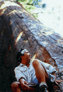
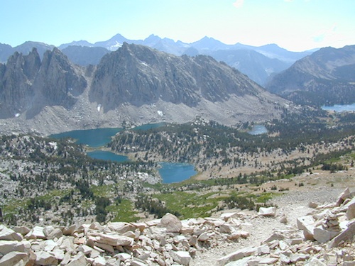
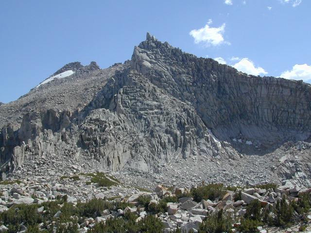
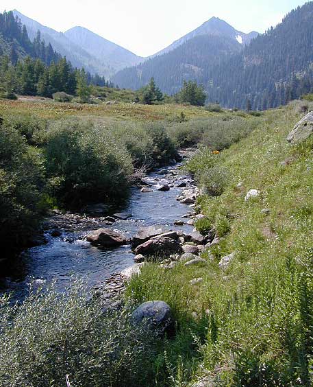
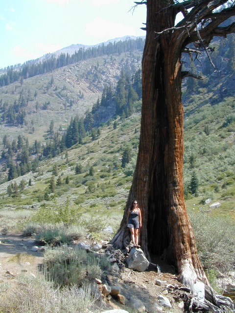
Mineral King Canyon is at the southern end of Sequoia NP, on the western side of the Sierra Nevada mountains.
Sequoia Wilderness Maps
Golden Trout Wilderness
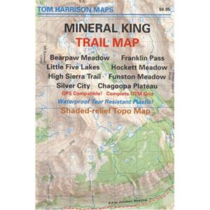
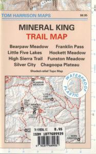
Mineral King Trails
OLDER EDITION 2012 MAP
Backpacking, Day Hiking, Lake Fishing, Horsepacking
Mineral King Trail Map, Sequoia National Park Hiking Maps, Backpacking Sequoia Mineral King; Area include: Bearpaw Meadow, Franklin Pass, Little Five Lakes, Hockette Meadow, High Sierra Trail, Funston Meadow, Chagoopa Plateau, Atwell Mill Campground, Cold Spring Campground, Silver City California. Three Rivers California; Durable, waterproof plastic map; Folded. Map Scale: 63K; ISBN# 9781877689833
 download digital version of this map
Mineral King Topo Map
REALLY OLD EDITION

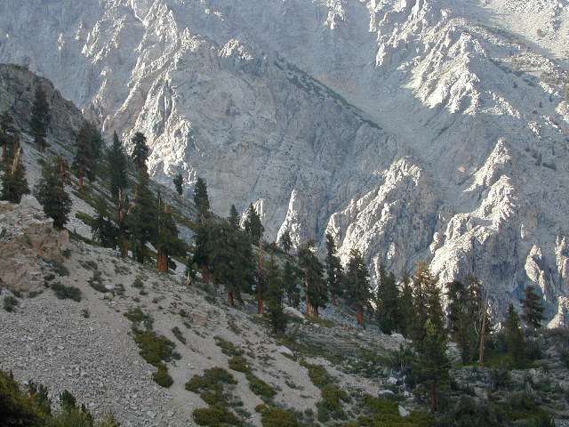
Mineral King Valley is inside the southern portion of SEQUOIA NATIONAL PARK. Mountain passes access high Sierra terrain (only by foot trail) w/ Sequoia National Park, Kings Canyon Highcountry and Golden Trout Wilderness.
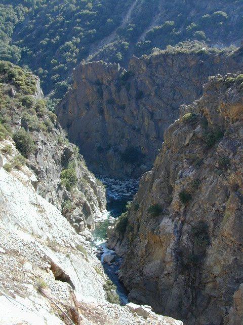
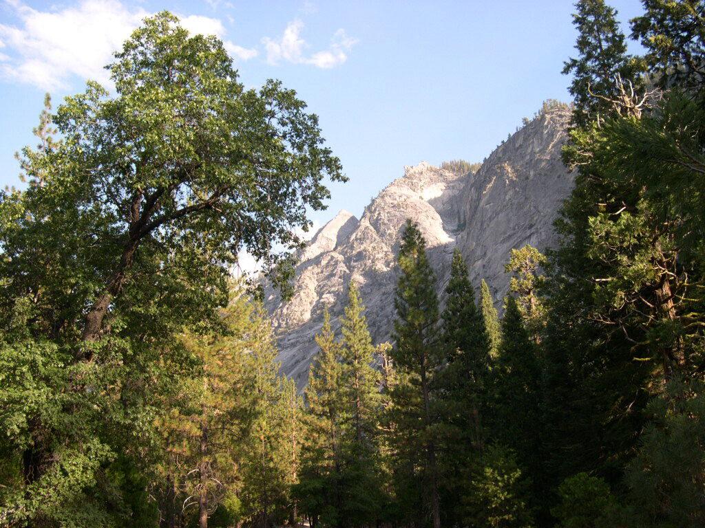
 The paved road access into this canyon (Mineral King Road) does become a dirt road for a few miles, about half way in. Pavement resumes and continues to the end – where the trailhead parking and campground is situated. Numerous creeks flow through this mountain region.


backpacking & campground camping –
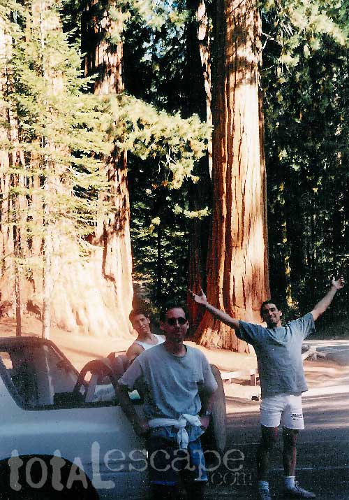
This spectacular mountain setting is quite different from the rest of the Sequoia National Park. Backpackers can arrive late and sleep at the walk-in camps of Cold Springs Campground.
Access to high elevation trailheads; alpine lakes and Golden Trout Wilderness Area. Day hikes, horseback rides, fishing, mountaineering routes are plentiful.
However, bears and marmots are a problem here. Store food in the steel bear boxes provided. Marmots will eat radiator hoses and chew wiring inside your vehicle. Bring a roll of chicken wire to wrap your automobile, if you plan to leave it unattended for any amount of time.
Additionally, evening ranger programs are presented in summer months.

Walk-in Camps @
Cold Springs Campground
 nearby destinations:
see also –
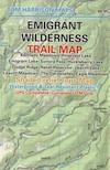
Golden Trout Wilderness Map
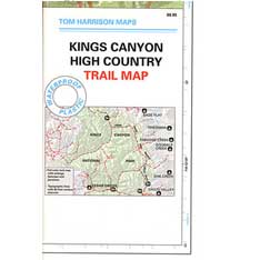
Kings Canyon Highcountry Map
Sequoia / Kings National Park Maps
Sequoia National Forest Map
Sequoia Kings Recreation Map
Sequoia Books