National Geographic Trails Illustrated Map for Carson Iceberg, Emigrant, Mokelumne Wilderness Areas – Central Sierra Nevada Mountains
NatGeo Map #807 Carson Iceberg
Carson Iceberg Wilderness Map NatGeo 807
National Geographic makes this Trails Illustrated Trail Map that covers 3 different Wilderness areas inside the Central Sierra Nevada mountains – Carson Iceberg Wilderness, Emigrant Wilderness, Mokelumne Wilderness.
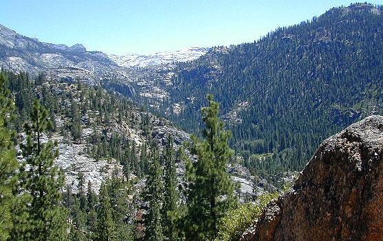
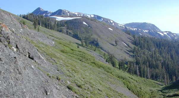
Trailheads, campgrounds, river, creeks, peaks, and alpine lakes. Backpack, camp, climb, fish, and hike. Basically, all the recreation destinations in this region. These regions are CLOSED for snow during winter months and usually only accessible during the summer period.
National Geographic Map 807. Trails Illustrated. GPS Compatible, Full UTM Grid. Waterproof ISBN# 9781566952651
OLDER EDITION
Emigrant Wilderness in the Central Sierra
Highland Lakes Trailheads
Carson Iceberg Wilderness
see also –
Carson Iceberg Wilderness Map
Emigrant Wilderness Trail Map
Mokelumne Wilderness Trail Map
Eldorado National Forest Map
Stanislaus National Forest Map
Stanislaus Forest Atlas

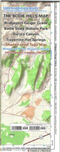
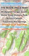
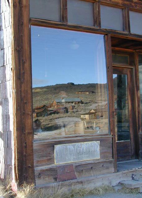
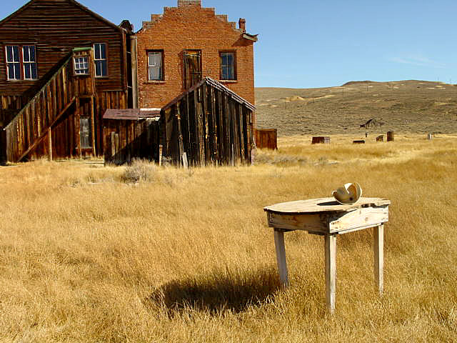
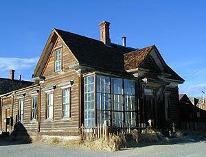 Bodie State Historic Park