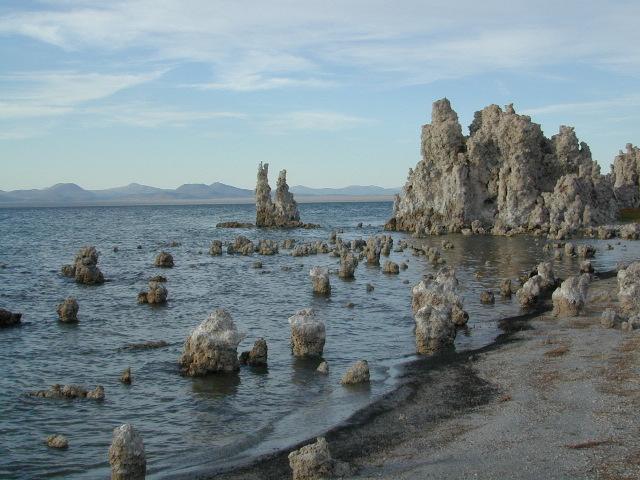
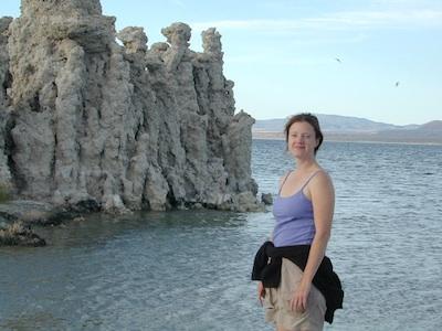
Tufa Towers at Navy Beach, Mono Lake
Mono Lake Topo Map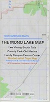
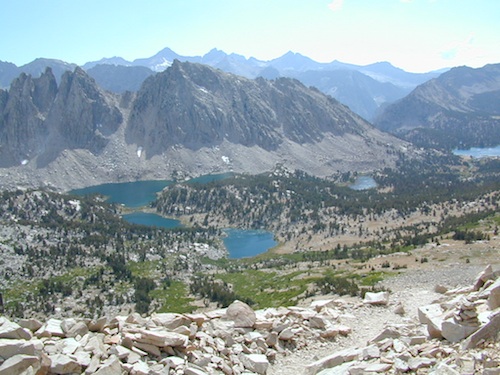
Mono Lake, Lee Vining & Lundy Canyon
Mono Lake is one of the most popular destinations in the Eastern Sierra region. Tom Harrison is the only topographic map that has all of Mono Lake on one sheet.
Eastern Sierra Lee Vining Trail Map, Lee Vining Canyon South; Areas covered: Lee Vining Hiking, South Tufa Mono Lake, County Park Old Marina, Lundy Canyon, Lundy Topo, Panum Crater.
Durable, waterproof plastic map; Folded. Map Scale: 63K; ISBN# 9781877689789
Mono Lake California
 download digital version of this map –
Mono Lake Topo Map
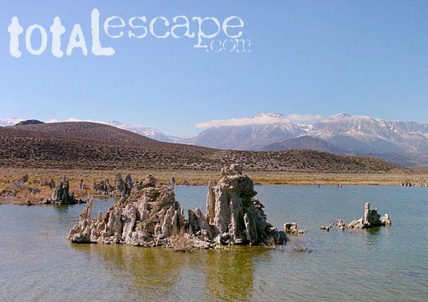
Mono Lake is a saline soda lake in Mono County, California, formed at least 760,000 years ago as a terminal lake in an endorheic basin. The lack of an outlet causes high levels of salts to accumulate in the lake and make its water alkaline.
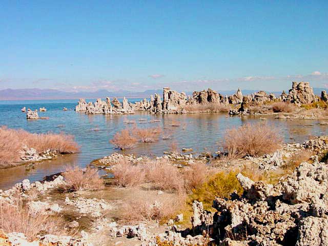
The high desert lake has an unusually productive ecosystem based on brine shrimp, which thrive in its waters, and provides critical habitat for two million annual migratory birds that feed on the shrimp and alkali flies.
When the city of Los Angeles diverted water from the freshwater streams flowing into the lake, it lowered the lake level, which imperiled the migratory birds. The Mono Lake Committee formed in response and won a legal battle that forced Los Angeles to partially replenish the lake level.
Dissolved salts in the runoff thus remain in the lake and raise the water’s pH levels and salt concentration. The tributaries of Mono Lake include Lee Vining Creek, Rush Creek and Mill Creek which flows through Lundy Canyon.
The basin was formed by geological forces over the last five million years: basin and range crustal stretching and associated volcanism and faulting at the base of the Sierra Nevada.
nearby destinations:
see also –
Ansel Adams Wilderness Map
Bodie Hills Map
Mammoth Lakes Map NatGeo
Toiyabe National Forest Map USDA
Yosemite Highcountry Map
Lundy Canyon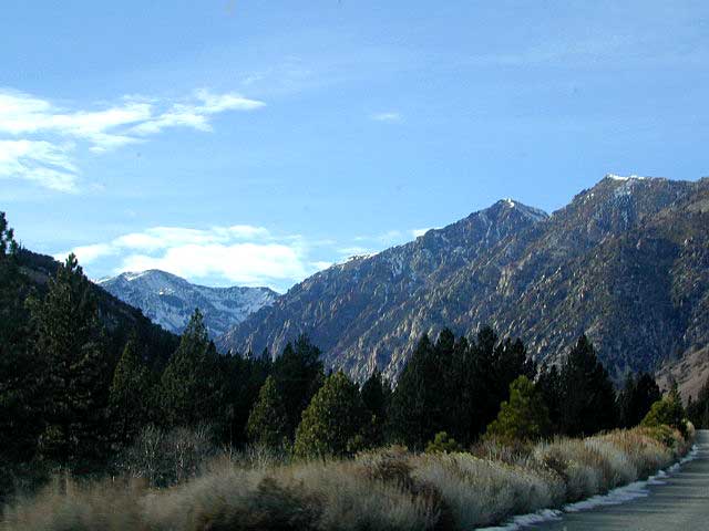


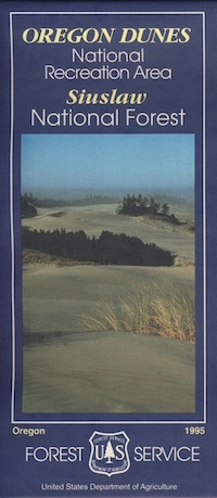
 Oregon Dunes National Recreation Area Map, Siuslaw National Forest Oregon, Oregon Dunes NRA, OR Beaches, Oregon coast map. Oregon Dunes Camping, off-road, OHV, ATV. Lagoon Campground, Driftwood II Campground, Goose Pasture, Siltcoos Beach. Westlake, Florence OR, Reedsport, Coos Bay Oregon Maps. Printed in paper in 1995