- bike
- camp
- climb
- hike
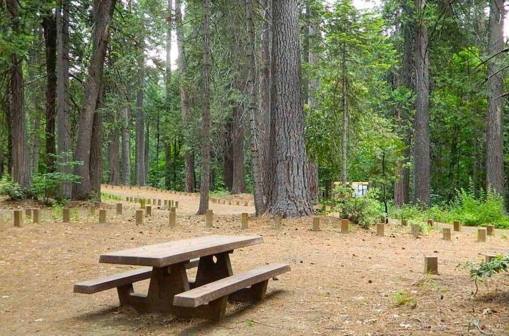
- picnic
- river
- waterfalls


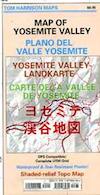
Tom Harrison Yosemite Valley Map, Topo Trail Map Yosemite Parks, Hiking Trails Yosemite Valley Trails, Yosemite National Park Maps Hiking Trails Topo Map; Regions include – Yosemite Valley Mirror Lake, Yosemite Falls, Half Dome Hiking, Nevada Falls, Mist Trail, Vernal Falls, Yosemite National Park Campgrounds, Trailheads, Shuttle Stops, Merced River. Easily understood w/ several languages too!
Durable, waterproof plastic map; Folded. Map Scale: 24K; ISBN# 9781877689604
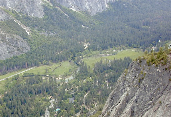
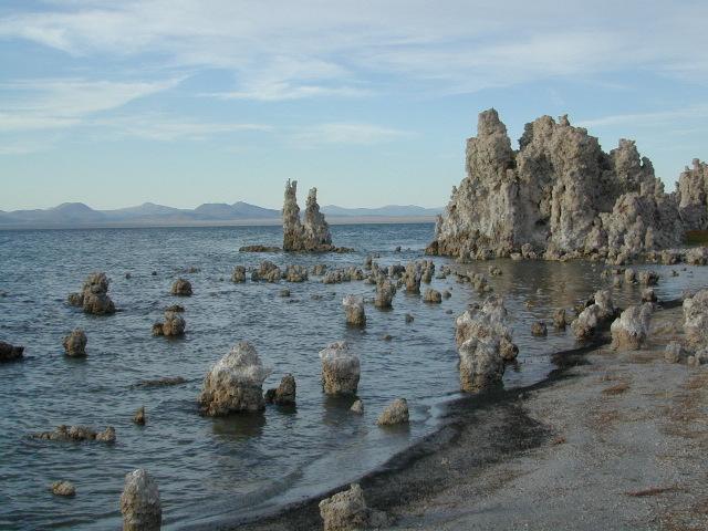
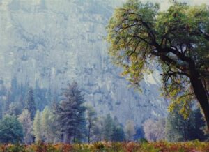
The Valley Floor of Yosemite
 download digital version of this map –
Yosemite Valley Trail Map
OLDER VERSION
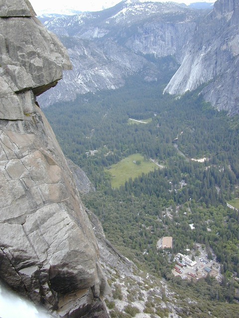
TOP of Yosemite Falls (see water on lower left)
Yosemite Valley represents only one percent of the park area, but this is where most visitors arrive and stay. The Tunnel View is the first view of the Valley for many visitors and is extensively photographed. El Capitan, a prominent granite cliff that looms over Yosemite Valley, is one of the most popular rock climbing destinations in the world because of its diverse range of climbing routes in addition to its year-round accessibility. Granite domes such as Sentinel Dome and Half Dome rise 3,000 and 4,800 feet, respectively, above the valley floor at 4000 feet.
The high country of Yosemite contains beautiful areas such as Tuolumne Meadows, Dana Meadows, the Clark Range, the Cathedral Range, and the Kuna Crest. The Sierra crest and the Pacific Crest Trail run through Yosemite, with peaks of red metamorphic rock, such as Mount Dana and Mount Gibbs, and granite peaks, such as Mount Conness. Mount Lyell is the highest point in the park, standing at 13,120 feet. The Lyell Glacier is the largest glacier in Yosemite National Park and is one of the few remaining in the Sierra Nevada today.


The park has three groves of ancient giant sequoia trees; the Mariposa Grove (200 trees), the Tuolumne Grove (25 trees), and the Merced Grove (20 trees). Many of the trees in Mariposa Grove were recently toppled by severe winds in 2020; Groves may be closed due to cleanup efforts.
see also –
All Yosemite Maps by Tom Harrison
Yosemite Books
Half Dome Trail Map
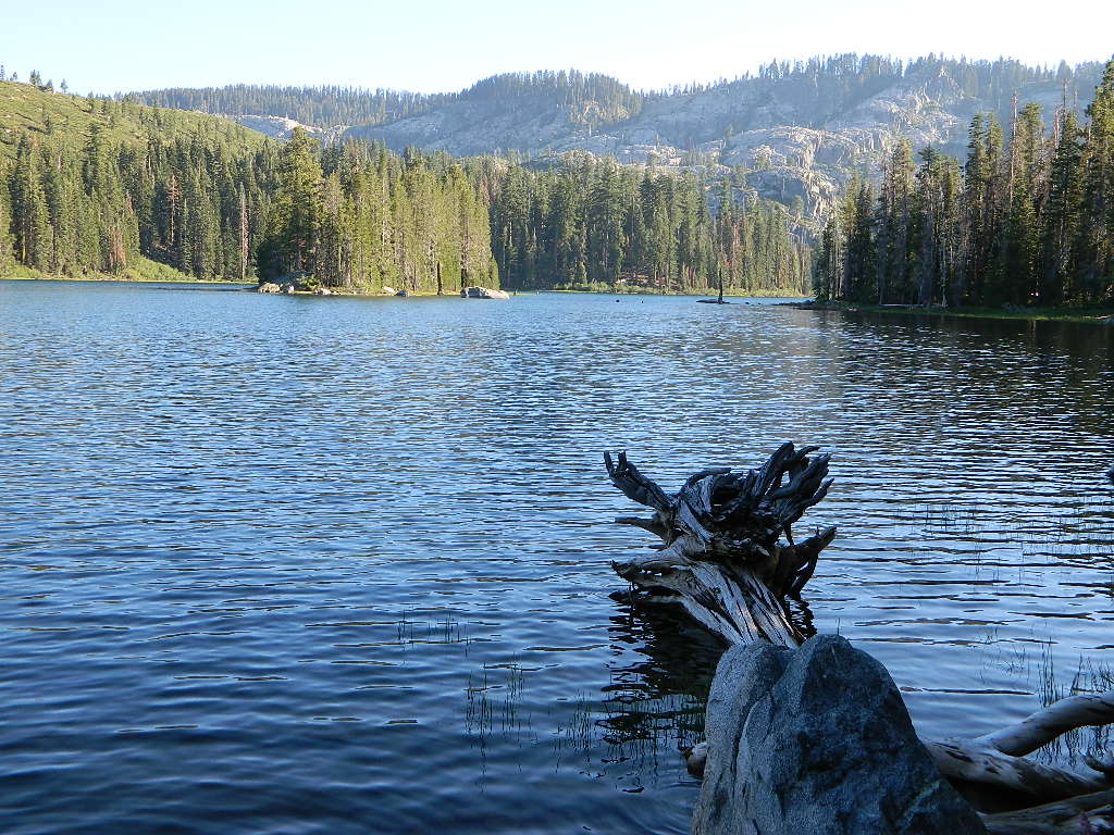
 A horrific, huge amount of Plumas National Forest has been recently burned by wildfires in recent years, resulting in many trail, lake and campground closures in certain regions. Call ahead to ranger stations to see what is actually open, before you make the long drive.