Emigrant Wilderness Trail Map

Emigrant Wilderness Trail Map
Tom Harrison Maps

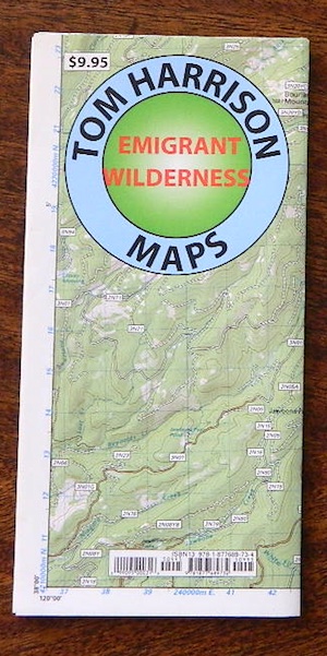
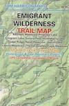
Tom Harrison Trail Map: Emigrant Wilderness Trail Map, Sonora Pass Map, Sierra Nevada; Kennedy Meadows, CA. Pinecrest Lake, Dodge Ridge, Relief Reservoir, Leavitt Lake, Leavitt Meadows, The Dardanelles, Eagle Meadows; Sonora River fishing, Dardanelle CA. Durable, waterproof plastic map; Folded. Map Scale: 63.4K; ISBN# 9780989457910
emigrant

previous map

Emigrant Wilderness Map

Central Sierra Backpacking Trails:

Sonora Pass to Yosemite Highcountry

Backcountry access, hiking trails, horseback riding, cross country skiing, deep snow (over half the year), alpine lakes, granite peaks, creek canyon forests.

From Cherry Lake (4700′), Lake Eleanore (4657′) or Hetch Hetchy (3900′), up river, northward, wilderness routes up hill to Sonora Pass. Cherry Creek, Kendrick Creek, Bourland Creek, Lily Creek, Bell Creek, Herring Creek.

Pinecrest Lake (5616′), Emigrant Lake (8827′), Buck Lakes (8315′), Huckleberry Lake. Pacific Crest Trail (PCT) at Emigrant Pass, Grizzly Peak (10,365′), Sonora Pass (9625′) Highway 108

Backpacking trailheads are located at these places:

Cherry Lake @ Kibbie RidgeEmigrant Wilderness Trail Map

near Pinecrest Lake –

  • Bourland Creek @ Route #3N20Y
  • Lily Creek @ Route #3N28
  • Bell Meadow @ Route #4N25
  • Gianelli Cabin & Crabtree Route #4N34 (behind Donner Ridge Ski)
  • Three Meadows @ Route #4N12

near Dardanelle – 

  • Donnell Vista Point
  • Columns of the Giants
  • Seven Pines
  • Kennedy Meadows

Hoover Wilderness located directly to the east of Emigrant Wilderness.

Stanislaus National Forest

Yosemite National Park 

nearby towns:Emigrant Wilderness Trail Map

"<yoastmark

see also –

Hoover Wilderness Map

Yosemite Maps by National Geographic
Yosemite Topo Maps by Tom Harrison
Stanislaus National Forest Map
Stanislaus Forest Atlas


Snow Mountain Wilderness Map

Snow Trails Northern Cal

Snow Mountain Wilderness Map USDA

California Snow Mountainhikers map


Snow Mountain Wilderness, Mendo

Wildfire recently burnt 100% of the land on Snow Mountain
Mendo Complex / Ranch Fire 2018

Wildflowers should be very decent in the aftermath of the fire. Snow Mountain of Mendocino National Forest, the east side. Perfect for a day hike reference or extended backpacking adventures. Meadows are called GLADES, in the Mendocino Forest region. OHV trails surround the lower elevation, eastern part of this mountain. Big thunderstorms are possible in summer! Waterproof plastic map, tear resistant, printed in 2004. Map Scale = 1:126,720. ISBN# 9781593514259

youtube200

Snow Splitboarding Videos
by Dustin Boone

nearby towns:

see also –
Mendocino National Forest Map USDA
Yolla Bolly Wilderness Map

Snow Mountain Wilderness

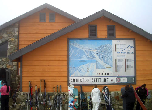
Mount Baldy Map

Mount Baldy Trail Map, Los Angeles

Mt Baldy & Cucamonga Wilderness Map
by Tom Harrison Maps

Baldy Map / San Gabriel Mountains Map / Cucamonga Wilderness

2022 currently unavailable on Amazon

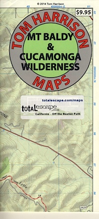
Cucamonga Wilderness Hiking Map, Angeles National Forest, San Gabriel Forests, Lytle Creek Routes, Mount Baldy Ski Area, West Baldy, Devils Backbone, Mt. Baldy Trails, Manker Flats, Stockton Flats.

Mount Baldy Map

Previous Trail Map

Mount Baldy Map

OLD EDITION

Mount Baldy Map

photo by Chris DiNenna

see also –

Angeles Crest Map by NatGeo
Angeles National Forest Map
Angeles Forest Atlas
PCT Map #2 Angeles
San Gabriel Mountains Map

Emigrant Wilderness Map

Emigrant Trail Maps

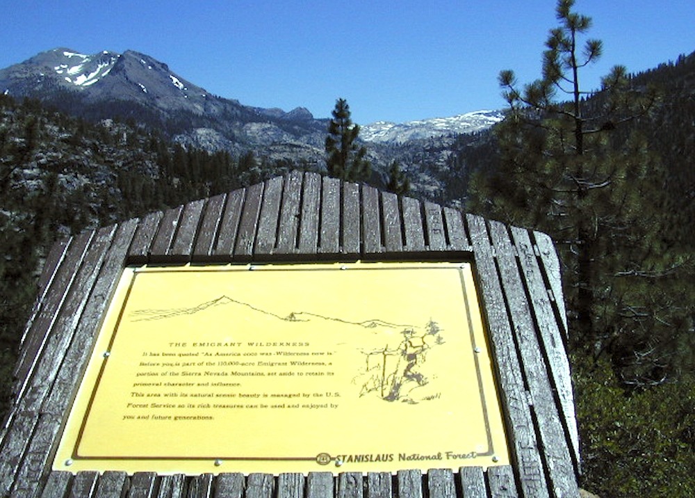
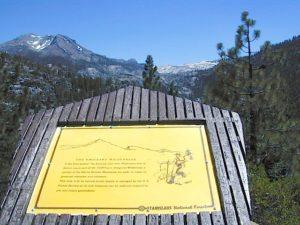
emigrantsign

Emigrant Wilderness Area
part of Stanislaus National Forest

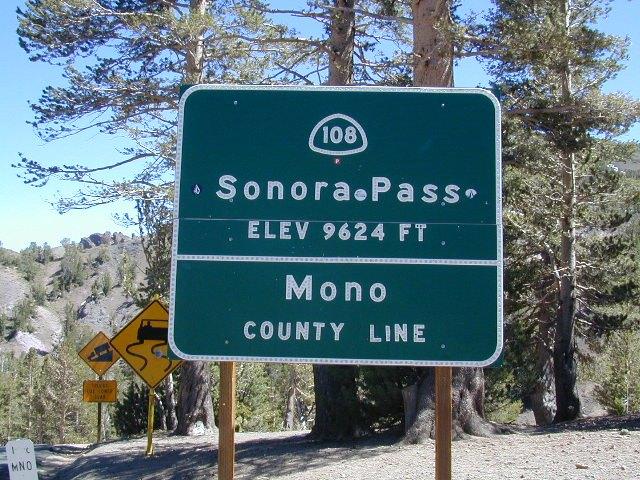
Highway 108 – Sonora Pass
Sierra Nevada Gold Country
North of Yosemite National Park

Emigrant Wilderness Map USDA

OLD VERSION

High Sierra with deep snow closes this region annually. This is usually the last Sierra Hwy Pass to OPEN for through-traffic in summer. It gets more snow than Yosemite. Check local rangers for all road conditions, fire info, trail access points before departing on a backcountry trip. Wilderness permits and campfire permits are always required!

Waterproof Plastic Paper. 1″ to mile; Usually only found at Ranger Stations – Hard to find maps. Perfect for a day hike reference or extended backpacking adventures. Printed on plastic in 2016. ISBN# 9781628114133


Emigrant Wilderness Trail Map

Topo Maps by Tom Harrison

Emigrant Wilderness Map

OLD VERSION

Tom Harrison Trail Map: Emigrant Wilderness Map Trail Map, Sonora Pass Map, Sierra Nevada; Kennedy Meadows, CA. Pinecrest Lake, Dodge Ridge, Relief Reservoir, Leavitt Lake, Leavitt Meadows, The Dardanelles, Eagle Meadows; Sonora River fishing, Dardanelle CA. Durable, waterproof plastic map; Folded. Map Scale: 63.4K; ISBN# 9780989457910

Wilderness Press Topographic Map


Emigrant Wilderness Map

see also –

Stanislaus National Forest Map
Stanislaus Forest Atlas
Yosemite High Country Map