Yosemite Valley Trail Map

Yosemite Valley Map
by Tom Harrison
valleyfloor

  • bike
  • camp
  • climb
  • hike
  • picnic
  • river
  • waterfalls

Tom Harrison Yosemite Valley Map, Topo Trail Map Yosemite Parks, Hiking Trails Yosemite Valley Trails, Yosemite National Park Maps Hiking Trails Topo Map; Regions include – Yosemite Valley Mirror Lake, Yosemite Falls, Half Dome Hiking, Nevada Falls, Mist Trail, Vernal Falls, Yosemite National Park Campgrounds, Trailheads, Shuttle Stops, Merced River. Easily understood w/ several languages too!

Durable, waterproof plastic map; Folded. Map Scale: 24K; ISBN# 9781877689604
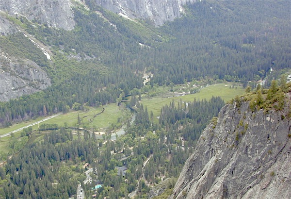
valleyfloor

The Valley Floor of Yosemite

avenza mapsdownload digital version of this map –
Yosemite Valley Trail Map
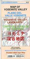
Yosemite Valley Trail Map

OLDER VERSION

Yosemite Valley Trail Map

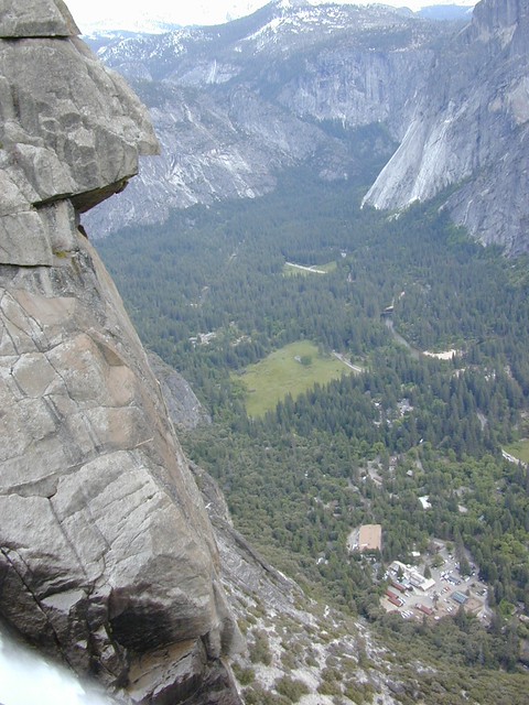
TOP of Yosemite Falls (see water on lower left)

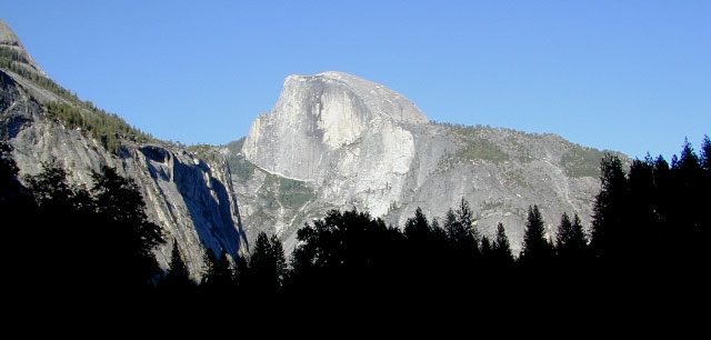
Yosemite Valley represents only one percent of the park area, but this is where most visitors arrive and stay. The Tunnel View is the first view of the Valley for many visitors and is extensively photographed. El Capitan, a prominent granite cliff that looms over Yosemite Valley, is one of the most popular rock climbing destinations in the world because of its diverse range of climbing routes in addition to its year-round accessibility. Granite domes such as Sentinel Dome and Half Dome rise 3,000 and 4,800 feet, respectively, above the valley floor at 4000 feet.

The high country of Yosemite contains beautiful areas such as Tuolumne Meadows, Dana Meadows, the Clark Range, the Cathedral Range, and the Kuna Crest. The Sierra crest and the Pacific Crest Trail run through Yosemite, with peaks of red metamorphic rock, such as Mount Dana and Mount Gibbs, and granite peaks, such as Mount Conness. Mount Lyell is the highest point in the park, standing at 13,120 feet. The Lyell Glacier is the largest glacier in Yosemite National Park and is one of the few remaining in the Sierra Nevada today.
Yosemite Books
The park has three groves of ancient giant sequoia trees; the Mariposa Grove (200 trees), the Tuolumne Grove (25 trees), and the Merced Grove (20 trees). Many of the trees in Mariposa Grove were recently toppled by severe winds in 2020; Groves may be closed due to cleanup efforts.

see also –
All Yosemite Maps by Tom Harrison
Yosemite Books
Half Dome Trail Map

Dome Land Wilderness Map

DomeLand Wilderness Map

Dome Land Wilderness MapUSDA published this paper map ages ago. Might be found at the Kernville Ranger Station.

hikers mapDomeland Wilderness is located in the Southern Sierra, east of the Kern River, in an area known as the Kern Plateau. Granite domes, forest and meadows.
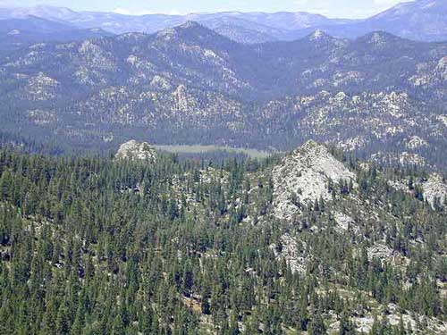


Dome Land Wilderness Map USDA

Domeland Wilderness

Dome Land Wilderness ( Part of Sequoia NF ) Perfect for a day hike reference or extended backpacking adventures. Scale = 1″ to mile; Printed on paper 1991

Dome Land Wilderness Map

Domeland, Sequoia National Forest

Dome Land, Sequoia National Forest, Domelands Southern Sierra, Wilderness, Trail, Map

Face it, the Kern River Canyon can get pretty busy and camping can be crowded on weekends. Look forward to exploring new trails and camps east of the river. Up Sherman’s Pass – onto secluded forests, with OHV trails, mountain bike trails, horseback riding trails, meadows and much more. Seeking the east side of Kern, for access to South fork of the Kern River, which runs near the PCT and through Kennedy Meadows, CA

Domeland Wilderness is situated in between the Chimney Peak Backcountry Byway and the Big Meadow Road #22S12

NFS Campgrounds nearby:camp map

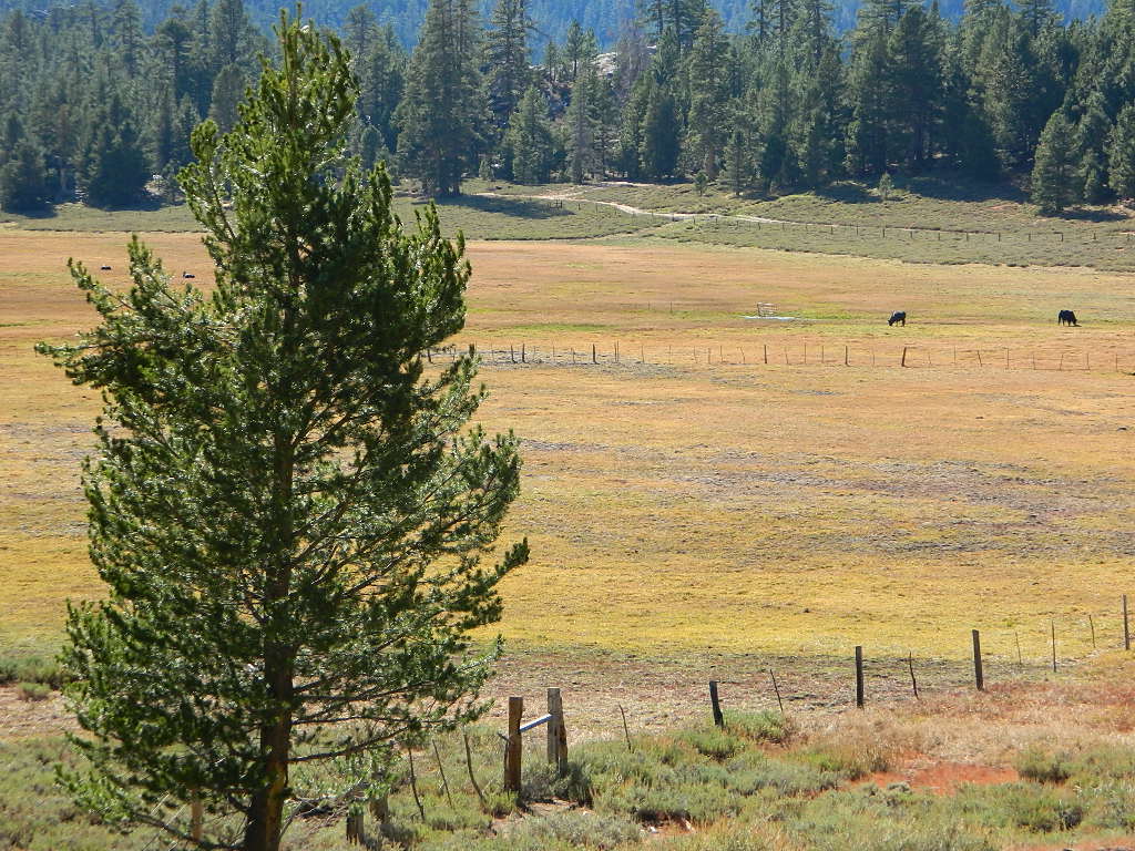
BIG MEADOW Sequoia NF

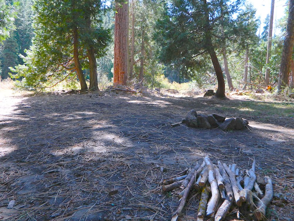
forestandmeadow

Dome Land Wilderness Map

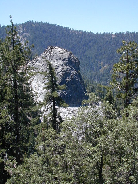
Granite, as viewed from Bald Mountain Fire Lookout, off Shermans Pass Road

Alternate Map for the Kern Plateau

see also – camp map

Southern Sierra Map
Sequoia National Forest Map
Sequoia Forest Topo Atlas
Golden Trout Wilderness Trail Map 

NatGeo Yosemite Maps

Yosemite Map California 

Yosemite National Park Maps byYosemite Map California
National Geographic: Trails Illustrated Maps

Overview Yosemite National Park Map #206


Central Sierra Nevada Mountains

2-sided, full color, waterproof maps

Yosemite is the most visited National Park in all of California, which is why NatGeo makes 5 maps for this region – so we can all spread out a little. Map bundles and a day hike guide is also available.

Yosemite Map CaliforniaThe main hub, Yosemite Valley, is the busy region – so try to avoid it during summer (if at all possible). Tuolumne Meadows and Tioga Pass on Hwy 120 is considered the high country and has numerous trailheads leading to peaks, domes, viewpoints, waterfalls, alpine lakes, and the famous wilderness w/ High Sierra Camps (HSC). The paved route (SR 120) closes annually for winter snow (more than half the year), so reservations are required if planning an overnight stay.

Yosemite Map California

TOPOGRAPHIC HIKING MAPS
for Yosemite backcountry listed below:

NatGeo Map #307 Yosemite NW – Hetch Hetchy Reservoir

Yosemite Map California

NatGeo Map #306 Yosemite SW – Wawona & Yosemite Valley

Yosemite Map California

NatGeo Map #308 Yosemite NE – Toulumne Mdws & Hoover Wilderness

Yosemite Map California

NatGeo Map #309 Yosemite SE – Ansel Adams Wilderness

Yosemite Map California

Yosemite Map California

NatGeo Yosemite Park Map Bundle – Yosemite Map Pack

Yosemite Map California

NatGeo Yosemite Park Hiking Map – Yosemite Day Hikes

Yosemite Map California

Yosemite Map California

see also –

All Yosemite Trail Maps by Tom Harrison