Yosemite High Country Map

Yosemite High Country Map
by Tom Harrison Maps

Yosemite High Country

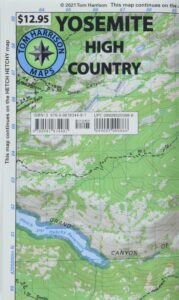
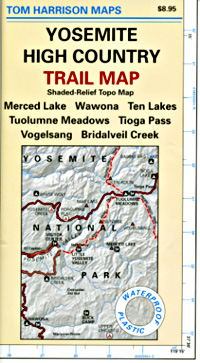
Yosemite High Country Map. Topographic; Backpacking Yosemite Backcountry, Topo Maps of Yosemite National Park Highcountry, Camping Yosemite Park Hiking Trails.

HIGH SIERRA LOOP
TOPO MAP YOSEMITE

Durable, waterproof plastic map; Folded. Map Scale: 63K; ISBN# 9781877689581

Explore the Yosemite high elevation back country with this detailed topographic map, which gives contour lines, trails and information for campers, hikers, and outdoor enthusiasts. GPS compatible w/ complete UTM grid. Beautifully designed over the USGS topographic quads, enhanced with shaded relief.

Includes these areas: Merced Lake, Wawona, Ten Lakes, Tuolumne Meadows, Tioga Pass, Vogelsang, Bridalveil Creek
Yosemite Maps

OLD EDITION

Yosemite Mapdownload digital version of this map –
Yosemite High Country Map

Yosemite backcountry Map

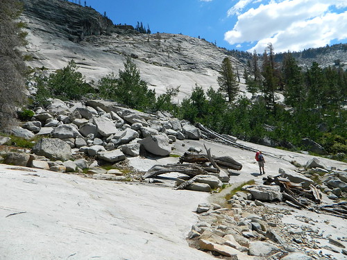
Granite slopes trail hike to Merced Lake

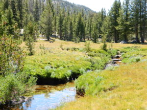
Highest peak in Yosemite National Park with the best granite scenery and alpine lakes, forests, wildlife and of course, epic views around every bend. Horseback or hiking trails are the only way to enjoy this amazing place. But please remember that it is often buried in deep snow more than half the year, so you only get a few months (summer) to enjoy this landscape and hike the best trails in the Sierra.

hikers map

Yosemite Topo Map

CLICK TO ENLARGE

Yosemite High Country Map

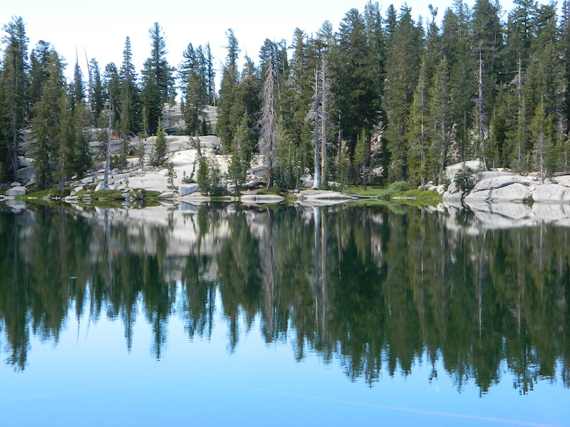
ALPINE LAKES, Yosemite National Park

Yosemite Valley Trail Map

Yosemite Valley Map
by Tom Harrison

valleyfloor

  • bike
  • camp
  • climb
  • hike
  • picnic
  • river
  • waterfalls

Tom Harrison Yosemite Valley Map, Topo Trail Map Yosemite Parks, Hiking Trails Yosemite Valley Trails, Yosemite National Park Maps Hiking Trails Topo Map; Regions include – Yosemite Valley Mirror Lake, Yosemite Falls, Half Dome Hiking, Nevada Falls, Mist Trail, Vernal Falls, Yosemite National Park Campgrounds, Trailheads, Shuttle Stops, Merced River. Easily understood w/ several languages too!

Durable, waterproof plastic map; Folded. Map Scale: 24K; ISBN# 9781877689604

valleyfloor

The Valley Floor of Yosemite

avenza mapsdownload digital version of this map –
Yosemite Valley Trail Map

Yosemite Valley Trail Map

OLDER VERSION

Yosemite Valley Trail Map

TOP of Yosemite Falls (see water on lower left)

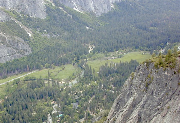
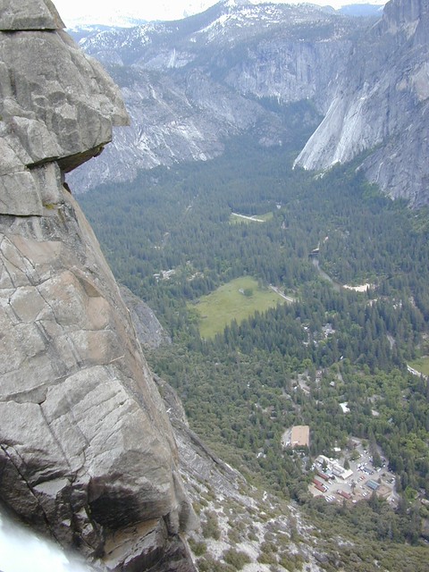
Yosemite Valley represents only one percent of the park area, but this is where most visitors arrive and stay. The Tunnel View is the first view of the Valley for many visitors and is extensively photographed. El Capitan, a prominent granite cliff that looms over Yosemite Valley, is one of the most popular rock climbing destinations in the world because of its diverse range of climbing routes in addition to its year-round accessibility. Granite domes such as Sentinel Dome and Half Dome rise 3,000 and 4,800 feet, respectively, above the valley floor at 4000 feet.

The high country of Yosemite contains beautiful areas such as Tuolumne Meadows, Dana Meadows, the Clark Range, the Cathedral Range, and the Kuna Crest. The Sierra crest and the Pacific Crest Trail run through Yosemite, with peaks of red metamorphic rock, such as Mount Dana and Mount Gibbs, and granite peaks, such as Mount Conness. Mount Lyell is the highest point in the park, standing at 13,120 feet. The Lyell Glacier is the largest glacier in Yosemite National Park and is one of the few remaining in the Sierra Nevada today.
Yosemite Books
The park has three groves of ancient giant sequoia trees; the Mariposa Grove (200 trees), the Tuolumne Grove (25 trees), and the Merced Grove (20 trees). Many of the trees in Mariposa Grove were recently toppled by severe winds in 2020; Groves may be closed due to cleanup efforts.

see also –
All Yosemite Maps by Tom Harrison
Yosemite Books
Half Dome Trail Map