Pacific Crest Trail
Pacific Crest National Scenic Trail
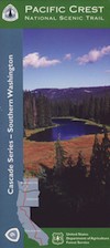
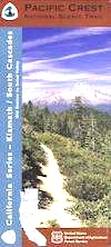
PCT – Hiking Map 6
Lassen to Klamath
Northern California Cascade Mountains: North Lassen, Hat Creek, westward over to Burney Falls, Castle Crags Wilderness, Scott Mountains, Klamath River, Seide Valley, South Cascade Range, Happy Camp Hikes, Forks of the Salmon River, California Highway 3, Etna, Greenview, Callahan, Cecilville, Dunsmuir, Burney Falls, Hat Creek Fishing California. Large fold out map, durable waterproof paper w/ sturdy cardboard cover. USDA National Forest Map. ISBN# 9781593519186
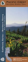
USDA PCT Map 6


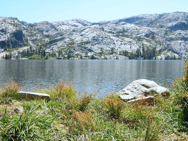
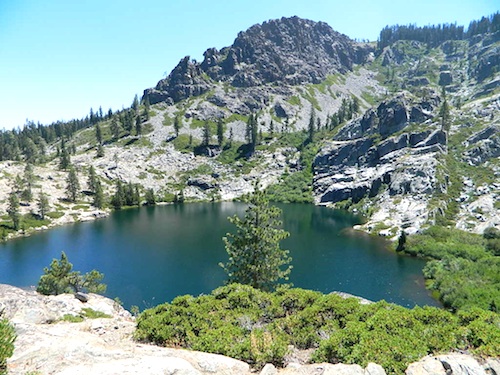
The Cascade Range or Cascades is a major mountain range of western North America, extending from southern British Columbia through Washington and Oregon to Northern California. It includes both non-volcanic mountains, such as the North Cascades, and the notable volcanoes known as the High Cascades.
The Cascades are part of the Pacific Ocean’s Ring of Fire, the ring of volcanoes and associated mountains around the Pacific Ocean. All of the eruptions in the contiguous United States over the last 200 years have been from Cascade volcanoes. The two most recent were Lassen Peak from 1914 to 1921 and a major eruption of Mount St. Helens in 1980. Minor eruptions of Mount St. Helens have also occurred since, most recently from 2004 to 2008.
Forests of large, coniferous trees (western red cedars, Douglas-firs, western hemlocks, firs, pines, spruces, and others) dominate most of the Cascade Range. Cool, wet winters and warm, dry summers favor evergreen species, whereas mild temperatures and rich soils promote fast and prolonged growth.
As a traveler passes through the Cascade Range, the climate first gets colder, then warmer and drier east of the crest. Most of the Cascades’ lower and middle elevations are covered in coniferous forest; the higher altitudes have extensive meadows as well as alpine tundra and glaciers. The southern part of the Cascades are within the California Floristic Province, an area of high biodiversity.
Black bears, coyotes, bobcats, cougars, beavers, deer, elk, moose, mountain goats and a few wolf packs returning from Canada live in the Cascades. There have been unconfirmed sightings of Bigfoot known locally by the Native American name of Sasquatch. Fewer than 50 grizzly bears reside in the Cascades of Canada and Washington.
nearby towns –
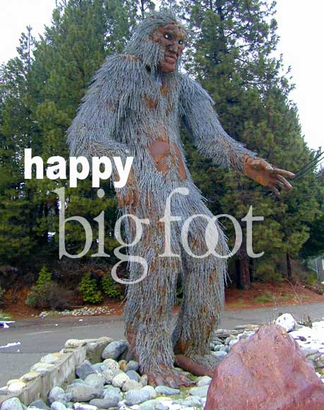
HAPPY CAMP, the main attraction
see also –
Klamath National Forest Map
Klamath Forest Atlas
Red Buttes Wilderness Map
Rogue River National Forest Map
PCT Map #7 Southern Oregon