San Diego Backcountry Map

San Diego Backcountry Map

San Diego Desert Mao

TH SD topo map

OLDER EDITION

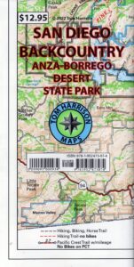
Topographic Maps by Tom Harrison: San Diego Deserts, Anza Borrego Desert. The #1 top selling map for the San Diego deserts!

San Diego Backcountry Recreation Map covers the entire Anza Borrego Desert State Park, the largest State Park in California & some portions of Cleveland National Forest; San Diego County Road S-2, S-22, Interstate 8, Highway 78 & Highway 94 to Tecate Mexico.

Areas surrounding Borrego Springs, Anza Borrego Park map, Julian & Warner Springs. PCT access (Pacific Crest Trail) plus Table Mountain, Sheep Canyon, OHV Deserts Ocotillo Wells SVRA, McCain Valley Camping, Carrizo Gorge Trestle Hike, Jacumba Hot Springs, Tierra del Sol 4×4 Trails, San Diego Lake Morena, Barrett Lake, Campo CA Potrero Regional Park, Agua Caliente Hot Springs, Vallecito, Carrizo Goat Trestle & Canyon sin Nombre Badlands.

digital mapsget a digital version of this map
San Diego Backcountry Map
by Tom Harrison

Recreation Map by Tom Harrison. Durable, waterproof plastic map; Folded. Map Scale: 125K; ISBN# 9781877689543

San Diego Desert Map

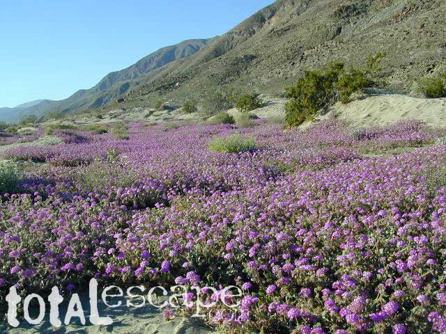
Borrego Desert is known best for Spring wildflowers (FEB-APRIL)

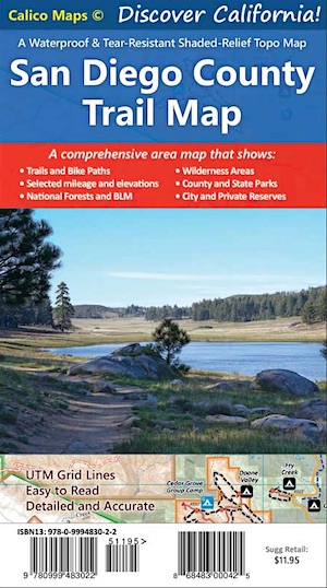
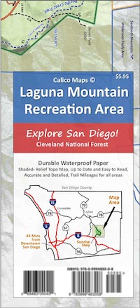
Two New San Diego Maps by Calico

San Diego County Trail Map

San Diego County Trail Map

Mount Laguna Map

Mount Laguna Trail Map

see also –
Cleveland National Forest Map 
Cleveland Forest Topo Atlas
Wilderness Press Map of Anza Borrego Desert

camp map

more exploring Anza Borrego:

Anza 4×4 Trails
Agua Caliente Hot Springs
Canon Sin Nombre Slot Canyons
Carrizo Gorge Goat Trestle
Culp Valley Camping
Great Overland Stagecoach Route of 1849
Mason Valley Truck Trail
Old Kane Springs Road
Split Mountain
Vallecito

Split Mountain Borrego

Split Mountain, Anza Borrego State Park, Southern California

4x4 maps

download digital maps

apps/maps:
download digital topos & maps

hiking

San Diego Camping, Anza Borrego Desert:

hikers map

nearby towns:

Hiking Maps Anza

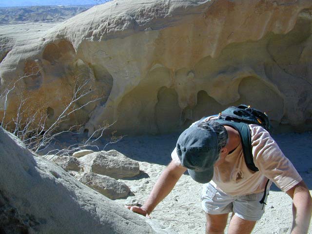
Exploring wind caves in Anza Borrego Desert

wildflower

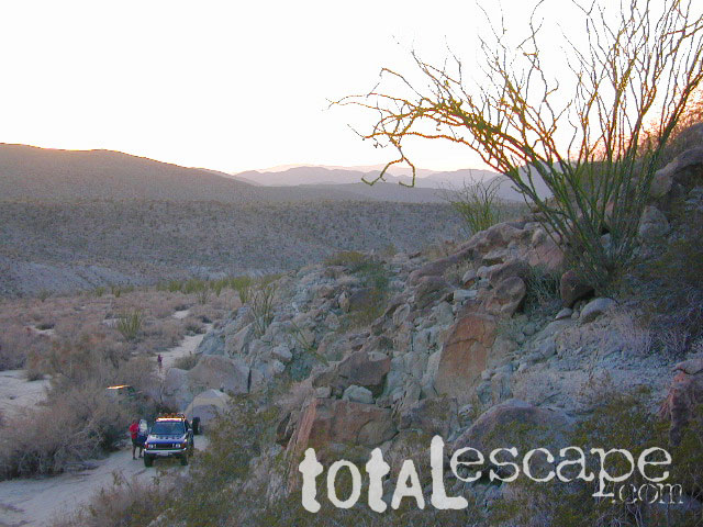
campsunset

The whole canyon, all to yourself
 

Golden Trout Wilderness Trail Map

Golden Trout Trail Map

Golden Trout Wilderness is located above the Upper Kern River Gorge, in between the Sequoia National Forest and the Eastern Sierra peaks, on the Inyo National Forest. The northern most trailheads can be accessed through Mountain Home State Forest and also Mineral King Canyon inside Sequoia National Park

Southern trailheads are located at:

driftwood

Golden Trout Trail Map
Tom Harrison Maps

Golden Trout Trail Map

OLD VERSION

Golden Trout Wilderness Trail Map, Sequoia National Forest, South Sierra Backpacking Maps, Forks of the Kern River Map, Jerky Meadow Trailhead, Big Whitney Meadow, Kern Peak, Coyote Peaks, Grey Meadow, Little Kern River, Kern Canyon, Jordan Hot Springs, Casa Vieja Meadow, Monache Meadows. Topo Sequoia Camping Kern River; Durable, waterproof plastic map; Folded. Map Scale: 63.4K; ISBN# 9781877689765

digital mapsdownload digital version of this map
Golden Trout Wilderness Map

Golden Trout Trail Map

Bake Oven Dunes, near Monache Meadows

Kern Hot Springs. Golden Trout Kern River, Golden Wilderness Trail Map, Sequoia, South Sierra Backpacking Maps, Forks of the Kern River Map, Jerky Meadow Trailhead, Big Whitney Meadow, Kern Peak, Coyote Peaks, Grey Meadow, Little Kern River, Kern Canyon, Jordan Hot Springs, Casa Vieja Meadow, and Monache Meadows: which is wonderful camping, hiking and fishing the South fork of the Kern River. 4×4 recommended to access Monache!

Golden Trout Trail Map

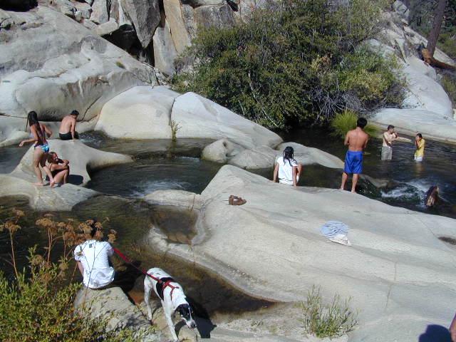
Granite Pools, moderate hiking distance from Camp 4 on Rd# 22S82

Forks of the Kern

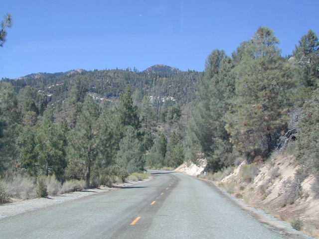
Lloyds Meadow Road is a paved access road – N of Johnsondale, approximately 30+ miles north of Kernville, CA. Sequoia Forest Road #22S82 is also called Jerky Meadows Road and Lloyds Meadow Road; leads north paralleling the Kern River Gorge. This canyon area lies east of and below Dome Rock and Needles, located on the Western Divide Hwy. One developed NFS campground, Lower Peppermint Campground, is situated along Forest Route 22S82. (open seasonally June-November)

There are also dispersed camping areas located on the opposite side of the street, Camp#2, Camp#3, Camp#3, Camp#4, a few of which are RV accessible. Others may require a high clearance vehicle or 4WD to access the most secluded camps. Horse camping is popular along this route as well.hikers map

The paved access road 22S82 dead-ends at the Jerky Meadow trailhead and parking lot. Horse packing, fishing trails and backpacking.

recent wildfires in this area:

Windy Fire 2021
Castle Fire / SQF Complex 2020
McNally Fire 2002

Jerky Meadows Rd

Jerky Meadows Rd is NF Route #22S82

horse trail maps

Golden Trout Topo Map

Golden Trout Kern River access on NF Rd #22S82

fishing map Golden Trout Trails

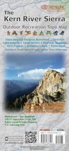
Kern River Map

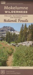
Mokelumne Wilderness Maps

Mokelumne Maps

Mokelumne sits in between Carson Pass (Hwy 88) and the Ebbetts Pass (Hwy 4) – a vast Sierra mountainous area, south of Lake Tahoe. With high elevation passes that are usually closed more than half the year due to deep snow, this area becomes summer vacation haven for outdoor seekers. Mokelumne Wilderness Maps can show you the details for picnics, day hikes, trailheads, backpacking routes, horse packing trail camps, alpine lakes, reservoirs and the Mokelumne River.

Mokelumne Map USDA

mokelumne map USDA

Mokelumne Wilderness is located in the Central Sierra Nevada mountains, above the Gold Country foothills, in between Hwy 88, 89 and 4; due south of Lake Tahoe. Fish, mountain bike, kayak, camp, backpack, horseback. It is all out here in gorgeous-ville. Lakes and peaks, rivers and creeks. All of this beauty and adventure waiting for you, but only accessible half the year (or less) – due to snow. Certain areas are designated Hiking Mapfor winter recreation, cross country skiing and snowmobiling.

Mokelumne is bordered by 3 National Forests, in the middle of the Sierra Nevada mountain range: Stanislaus NF, El Dorado NF & Toiyabe NF.


Mokelumne Map

PREVIOUS EDITION MAP

Hiking Topo Map
Mokelumne Wilderness Map
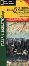
#807 NatGeo

National Geographic produces high quality topo maps with Trails Illustrated. High elevation, outdoor recreation highlights, trailhead parking, all roads, all trails, all campgrounds, peaks, lakes. GPS info. Full color, 2 sided map. Map 807

Topo Maps Mokelumne

Salt Springs Reservoir

Mokelumne Wilderness

Bordering the wilderness lands for day hikes and car camp on the outskirts. Plenty of dirt road in this region will lead to dispersed camp sites. Or do a backpacking week, or a horse pack adventure – deep into the untouched wild country of the Sierra Nevada mountains.

towns nearby:

Camgrounds Maps

Free Camgrounds in the Sierra

see also –

National Forest Maps

Los Padres Forest Topo Atlas

Los Padres Atlas
Topographic Map USDA

Los Padres Atlas USDA

Los Padres Forest Atlas

USFS, United States Forest Service – aka National Forests

Ventura, Ojai, Santa Barbara Mountains, Mount Pinos, San Luis Obispo, Big Sur Coast
Mountains: Central Coast California

Los Padres National Forest

Los Padres Forest Atlas

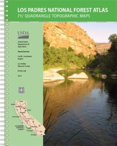
a spiral bound book – a collection of all the quads. (7.5 minute topographical maps, of all of Los Padres National Forest) It includes both Los Padres NORTH (Monterey) & SOUTH (Ojai/Pinos). This book map has detailed topo lines, mountain peaks, streams, lakes, hiking trails & back roads. Perfect for all kinds of recreational needs.

camp maps

Los Padres Forest Atlas

Older version of Los Padres Atlas

Los Padres Forest Atlas

Big Sur Coastal Mountains

Los Padres Forest Atlas

camping & exploring, Los Padres –
links and destinations

Pine Mountain @ Mil Potrero, as seen from top of Mount Pinos, CA

Mt Pinos California

pinos trails

Hiking Trails on Mount Pinos

see also –

Big Sur Maps
Los Padres National Forest Map
Sespe Wilderness Map