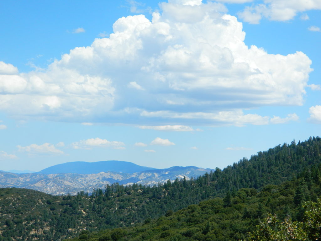
Ozena Views near Highway 33
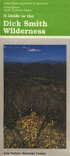
Dick Smith Map USDA
Coastal Foothills – Santa Barbara Mountains
Ojai Hiking, Hwy 33
Unavailable / Outta Print 2020
May still be found at USFS Ranger Stations
in Goleta or Ojai, CA
Ojai California’s mountain drive of Highway 33 is not just a scenic drive, it is home to the trailheads of Dick Smith Wilderness ( Part of Los Padres National Forest ) Includes areas around – Ojai, Ventura, Santa Maria, Lompoc, California
Perfect for a day hike reference or extended backpacking adventures. Scale 1″ to mile; Printed on paper in 1990.

towns nearby:
![]()
see also –
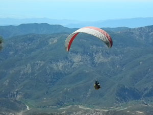
Hang gliding is popular sport @ Highway 33

SR 33 flows north-south thru Los Padres NF, N of OJAI, California
![]()
more Los Padres links –
- Big Sur Back Roads
- Chumash Wilderness
- Mount Abel
- Mount Pinos Recreation
- Ojai Camping
- Rock Front Ranch
- Santa Barbara Camping
- Santa Lucia Camping
- Santa Lucia Wilderness


