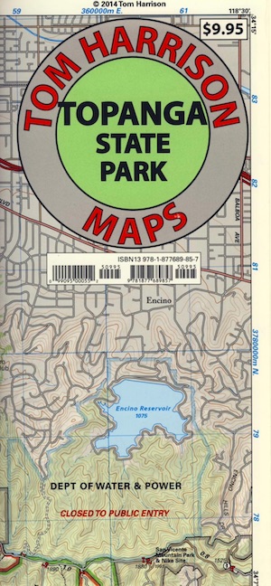
Mount Wilson Trail Map
by Tom Harrison Maps


 Mount Wilson Hiking Map, for trails inside the Angeles National Forest, on the San Gabriel Mountains. Backpacking Topo Maps, Angeles Crest Camping, Los Angeles National Forest; Chantry Flat Hiking Map, Strawberry Peak, Arroyo Seco, Mount Lowe, Red Box, Colby Canyon, Josephine Peak Trails. Angeles Mapa, Los Angeles Hiking Trails, LA, Angeles Crest Trails, Pasadena, La Canada, Altadena, Monrovia, Sierra Madre, San Gabriel Mountains, LA Hikes, Southern California.
Durable, waterproof plastic map; Folded. Map Scale: 31.7K; ISBN# 9781877689772
Mountain Biking Map, Mount Wilson Observatory, Angeles
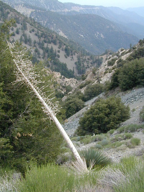
Mount Wilson (5710 elev.) is a high ridge with blinking red lights towering above Pasadena, California. Radio and television antenna, and cell phone towers for the Los Angeles Basin are plentiful, so you may hear some buzzing upon the tall towers.
There is an Observatory complex featuring solar & nighttime telescopes, with tours.
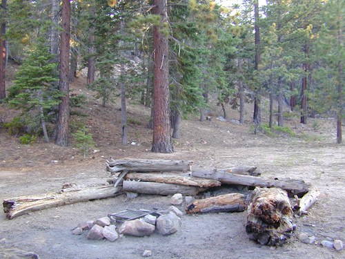
Locals have built a few rope tree swings, named the Secret Swings, but since they are featured on GoogleMaps, I doubt they are a real secret. Popular hiking and mountain biking trails lead down from Mount Wilson, past waterfalls and trail camps, to the foothills of Altadena and Sierra Madre.
- Echo Rock Trail
- Mount Wilson Trail
- Mount Zion Trail
- Kenyon Devore Trail
- Rim Trail
- Sturtevant Trail
- Winter Creek Trail
SKYLINE PARK PICNIC SITE: On a clear day (which can be a rare occurrence) this spot can be an awesome place to spend the whole day. Pack a picnic lunch and/or dinner; may as well bring the big cooler, several blankets and maybe some fold up chairs. Jackets and hats are handy to have when the wind picks up. Expect crowds on the weekends.
EPIC VIEWPOINT: This ridge line location is also an epic view at night, as the lights of the metropolis span out westward in a grid pattern. This is great spot to bring a date, a sightseeing relative, or an outta state visitor.
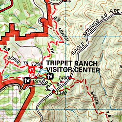
Topographic Maps of interest are listed below.


see also –