Kings Canyon Topo Map
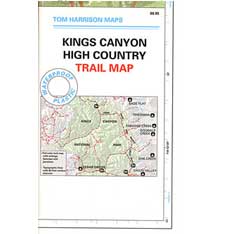
Tom Harrison Trail Map: Kings Canyon High Country Trail Map. Areas include: Rae Lakes, Paradise Valley, Cedar Grove, Kearsarge Pass, LeConte Canyon, Crown Valley, Tehipite Valley, Blackcap Basin; John Muir PCT Wilderness Map, Pacific Crest Trail, US Hwy 395 Eastern Sierra Nevada; Backpacking High Sierra, Hiking Backpacking Kings Canyon National Park.

Durable, waterproof plastic map; Folded. Map Scale: 63K; ISBN# 9781877689451
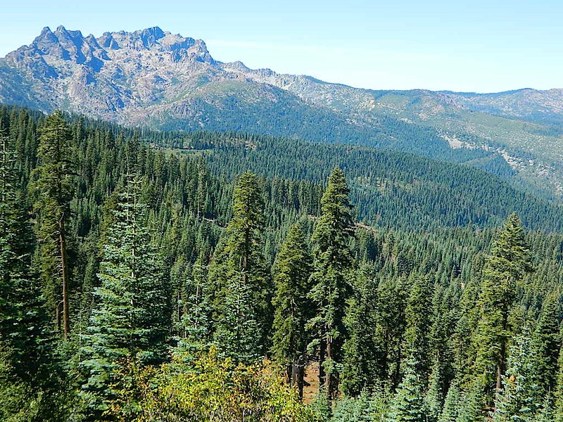
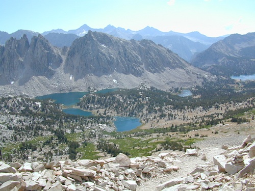
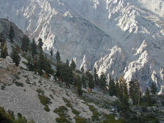
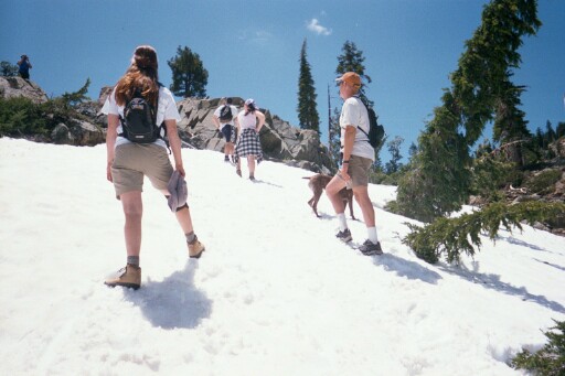
Granite peaks around Kearsarge Pass are simply awesome
Kings Canyon Wilderness Trail Maps
![]() download digital version of this map –
download digital version of this map –
Kings Canyon High Country Map


OLD EDITION
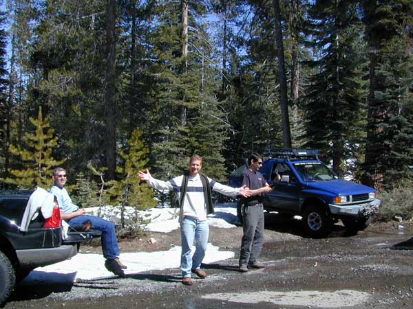
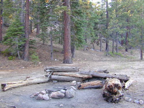
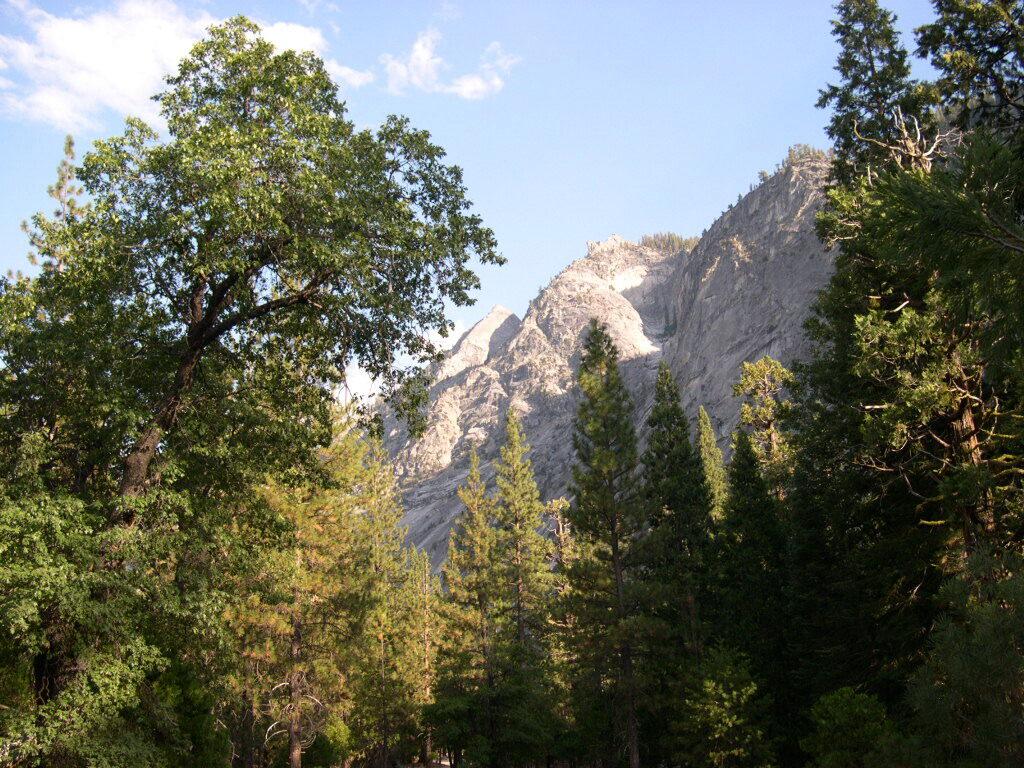
Kings Canyon National Park 
see also –
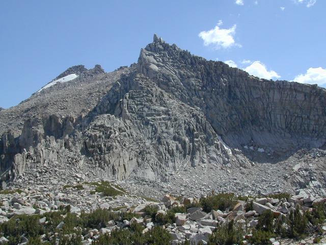
Kearsarge Pass Trail Map
Sequoia Kings NP Map by NatGeo
Sequoia Kings Map by Tom Harrison
JMT – John Muir Wilderness Maps
Mineral King Topo Map
nearby destinations –


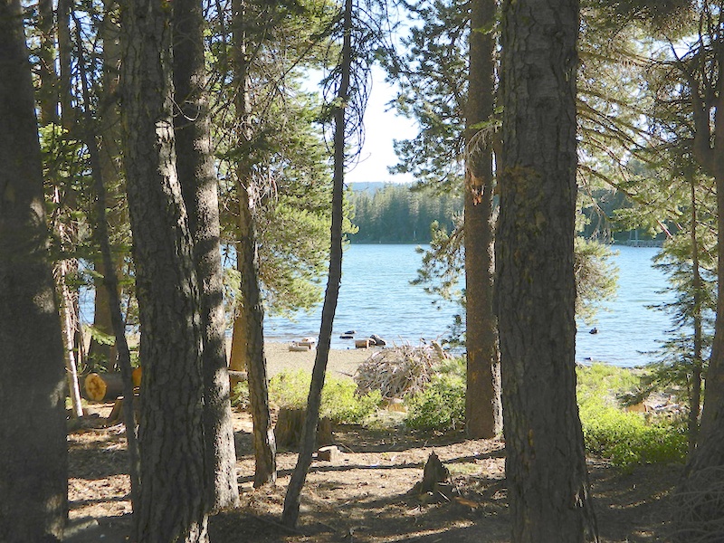
 Gold Lake Highway closes annually for winter, due to deep snow. Winter recreation include cross country skiing, snowmobiling and snow shoeing. Campgrounds are only open a few months during the summer.