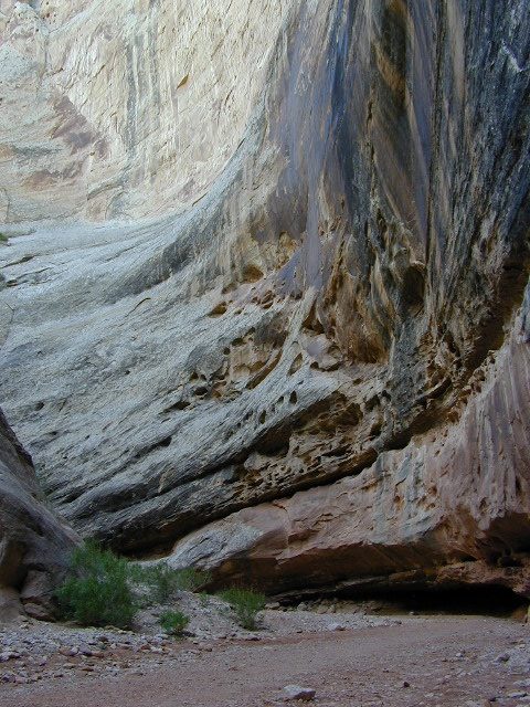
hiking slot canyons
Capital Reef National Park Map
![]() Capt Reef NP
Capt Reef NP
Utah’s National Parks are unbelievably beautiful. Enjoying one National Park at a time would require months. Hiking, off-roading and camping are always popular during the summer months, yet most of the parks are open all year long.
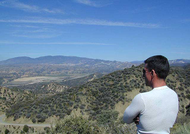
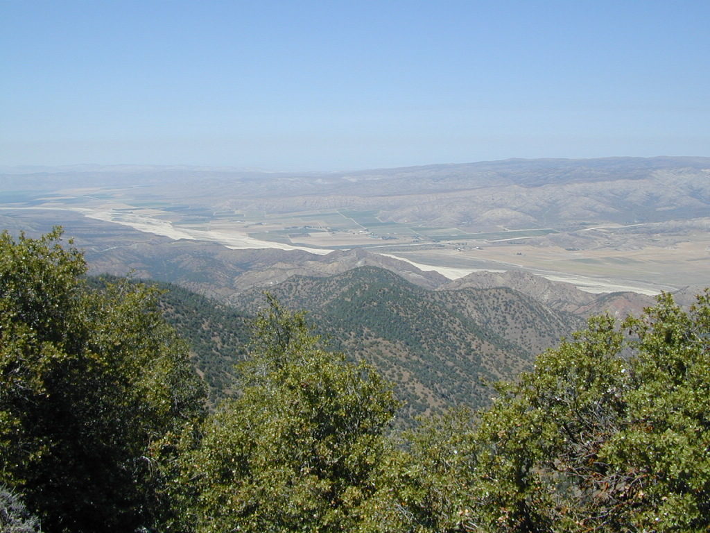
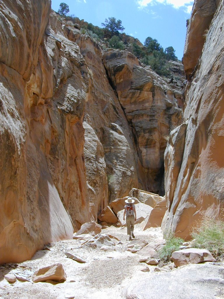
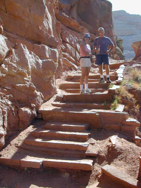
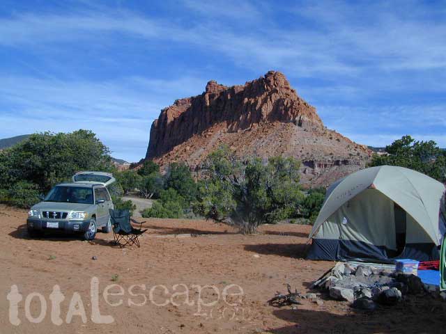
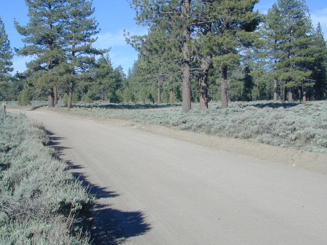
 Capital Reef is a fertile high desert canyon with plenty of great slot canyons and archways to explore. The main campground on the highway is located next to a historic fruit orchard.

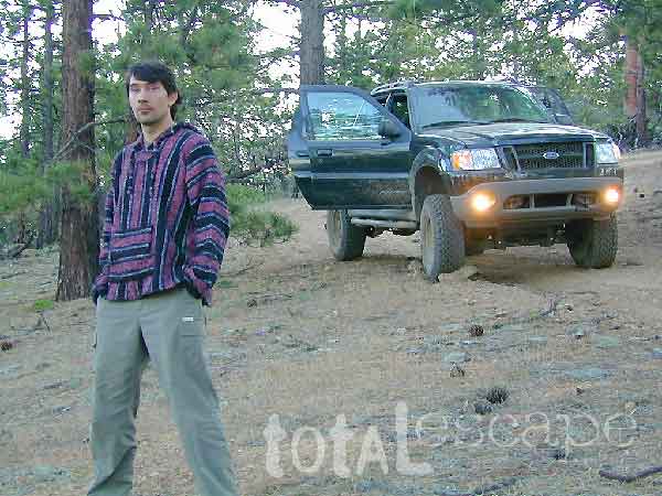
 Cathedral Valley is a cool off-road destination for secluded camping, way off the paved highway. Self sufficient campers only!
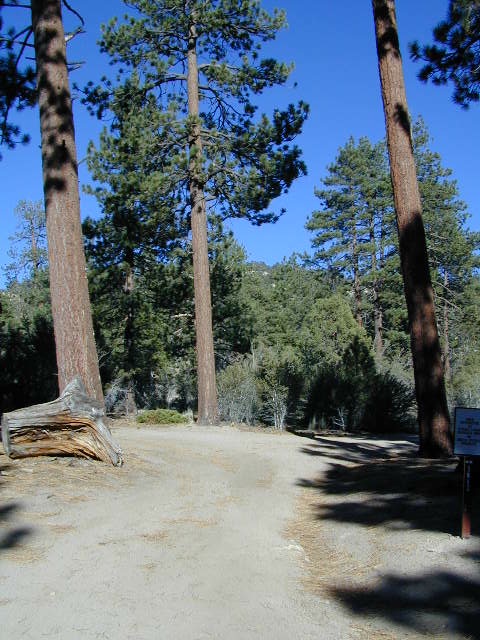
The Burr Trail is a historic graded road, with steep switchbacks and red rock scenery. This main backcountry route connects the National Park to remote BLM land, south of the park.
Hiking in Capital Reef National Park
get a digital version of this map![]()
NatGeo #267 – Capitol Reef NP Map

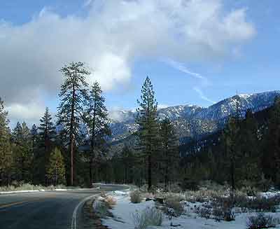
May is generally the best month for camping & hiking in southern Utah. Summer can bring triple digit heat and late season thunderstorms. Flash floods are common and life threatening in this mountainous high desert region. Winter snow is typical in this region.
![]() Fishlake National Forest is neighboring the National Park on the west side of Capital Reef NP. Free camping is available on dirt roads in the National Forest;
Fishlake National Forest is neighboring the National Park on the west side of Capital Reef NP. Free camping is available on dirt roads in the National Forest;  campfire permits are required for back country camping. RV park, motels, market and restaurants available in Torrey.
nearest town:
Torrey, UT
![]()
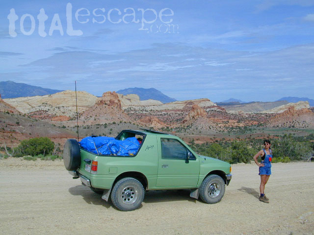
Historic Burr Trail is a very long, yet drivable, graded dirt road connecting many public lands in south central Utah. High clearance is recommended, 4WD may be required during wet weather or snow.

apps/maps:
download digital topos & maps
BLM Map: West Wayne County UT (free)
Fishlake National Forest Topo Atlas
Fishlake NF Utah – Off Road Map (free)
Fishlake NFS Visitor Map – North Half
Glen Canyon Lake Powell Map NPS (free)
Glen Canyon Recreation Area – Lake Powell Map
Grand Staircase Escalante Map BLM
Motorized Routes Map, Emery County UT
NatGeo #707 – Fish Lake, Manti Map (Interstate 70)
Free Camping @ Fishlake NF – Torrey, Utah
see also –
Canyonlands Map
Utah Maps
Utah Books
Giant Walls of Capital Reef


 NatGeo, short for National Geographic makes three Trails Illustrated maps: colorful, topographic publications covering the entire Big Sur coast line, plus the mountain areas: