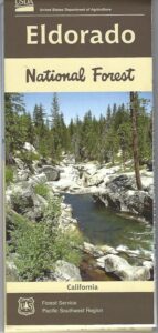
El Dorado
National Forest Map
Eldorado National Forest Map / El Dorado Camping
Eldorado National Forest Dispersed Camping Map
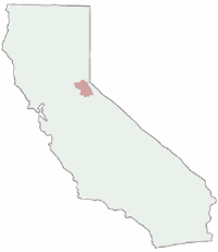
USGS map California: Northern Sierra, Gold Country, Mokelumne Wilderness, South Lake Tahoe.PAPER MAP. Ranger Map – NFS issued map. GPS: Longitude & Latitude; Rivers, Creeks, Peaks, Elevations, 4WD & every dirt Back Road, Hot Springs, Equestrian Areas, all Campgrounds, Hiking Trails & Backpacking Trailheads.
Areas include: Northern Sierra, Gold Country, Mokelumne Wilderness, Desolation Wilderness, South Lake Tahoe, Lower Bear River Reservoir, Silver Lake, Caples Lake, Lake Aloha, Union Valley Reservoir, Cosumnes River, American River, Jenkinson Lake, Crystal Basin and Rubicon Lake and Rubicon Trail. Quality USDA maps created for the National Forest Service. Map Size: 27″x 36″ overall / 4″x9″ folded; Printed on paper un 2015. ISBN# 9781593514921
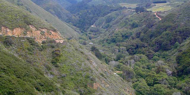
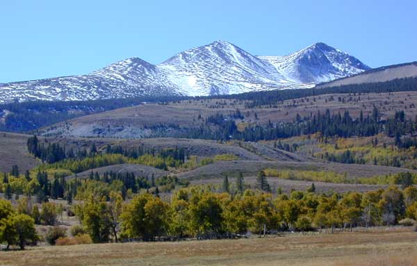
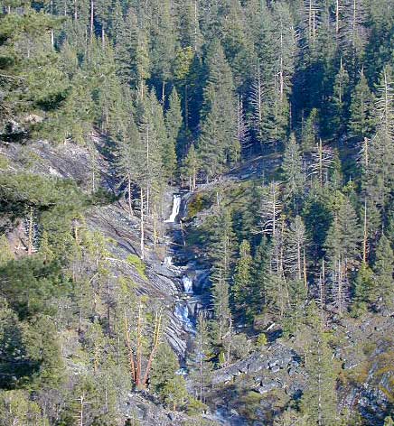
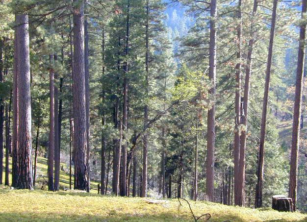
Gold Country Mountains, California
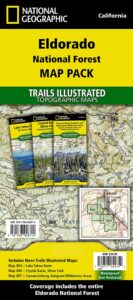
NatGeo is now making a map package with 3 colorful, waterproof maps for the El Dorado forest region. What a deal!!
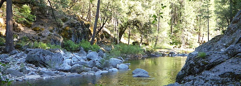
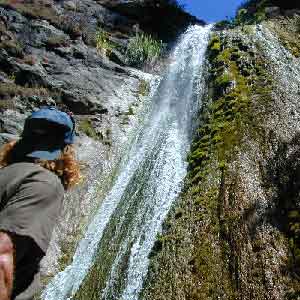
California: Sierra Rivers
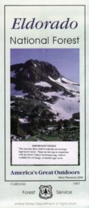
OLD PAPER MAP
see also –
Mokelumne Wilderness Map
Desolation Wilderness Maps
Stanislaus National Forest Map
Toiyabe National Forest Maps
Tahoe Basin Map
Tahoe National Forest Map
Tahoe Rim Trail Map
Lake Tahoe Topo Atlas
4×4 Trail Tahoe Map
Central Sierra Mountains / Gold Country Foothills : El Dorado National Forest
 Wilderness areas near El Dorado Forest:
Mokelumne Wilderness
Desolation Wilderness
Granite Chief Wilderness
Red Lake Wildlife Area
nearby towns:
- PLACERVILLE, CA
- GEORGETOWN, CA
- COLOMA, CA
- AUBURN, CA
- COLFAX, CA
- STRAWBERRY, CA
- KIRKWOOD, CA
- MEYERS, CA
- SOUTH LAKE TAHOE
- MARKLEEVILLE, CA
![]()
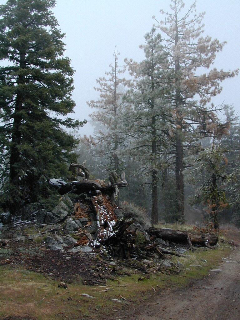
grizzly flat forest