Release date MAY 2021 – announcing a brand new atlas for Baja California, created by Benchmark Maps.

Baja California Mexico
Baja California Mexico Books


Lower California
as opposed to Alta California (US state of California)
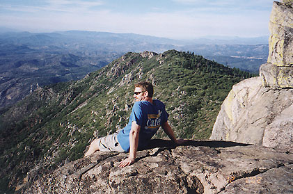
Baja California encompasses a territory within the Californias region of North America, which exhibits diverse geography for a relatively small area. The Peninsular ranges of the California cordillera run down the geographic center of the state. The most notable ranges of these mountains are the Sierra de Juárez and the Sierra de San Pedro Mártir. These ranges are the location of forests reminiscent of Southern California’s San Gabriel Mountains. Picacho del Diablo is the highest peak on the peninsula.
Valleys between the mountain ranges are located within a farm growing climate zone, that is particularly suitable for agriculture. Such valleys include the Valle de Guadalupe and the Valle de Ojos Negros, areas that produce citrus fruits and grapes. The mineral-rich mountain range extends southwards to the Gulf of California, where the western slope becomes wider, forming the Llanos del Berrendo on the border with Baja California Sur. The mountain ranges located in the center and southern part of the state include the Sierra de La Asamblea, Sierra de Calamajué, Sierra de San Luis and the Sierra de San Borja.
Baja Climate
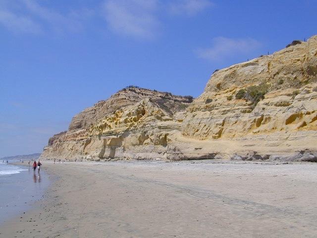
Temperate winds from the Pacific Ocean and the cold California Current make the climate along the northwestern coast pleasant year-round. Rains from the north barely reach the peninsula, thus leaving southern areas drier. South of the El Rosario River, the terrain changes from a Mediterranean landscape to a desert one. This desert exhibits diverse succulent species that flourish in part due to the coastal fog.
There are numerous islands on the Pacific shore. Guadalupe Island is located in the extreme west of the state’s boundaries and is the site of large colonies of sea lions. Cedros Island exists in the southwest of the state’s maritime region. The Todos Santos islands are located off the coast of Ensenada; Coronado Islands are located off of Tijuana.
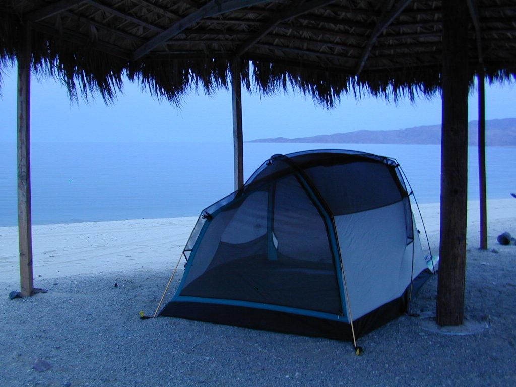
Gonzaga Bay, Baja California Mexico
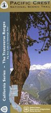
 Lewis, Crystal Lake, Mt. Williamson, Mt. Waterman, Charleton, Mount Pacifico, San Andreas Fault, Chilao Campground, Angeles Crest, Angeles Forest Highway, Los Angeles Forests, Messenger Peak, Lightning Point, Indian Canyon, Agua Dulce, Bouquet Canyon, Elizabeth Lake, Antelope Valley. Large fold out map, durable waterproof paper w/ sturdy cardboard cover. ISBN# 9781593514433