Marble Mountain Wilderness Map

Marble Mountain / Russian Wilderness Map

Marble Mountain Wilderness MapMarble Mountain Wilderness Map USDA

Marble Mountain Wilderness Map

Klamath River / Marble Mountains / Russian Wilderness
Marble Mountain Wilderness

Klamath National Forest
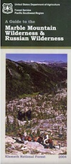
Marble Mountain Wilderness Map

OLDER VERSION

Yreka, Happy Camp, Klamath River, Salmon River, Scott River, Fort Jones, Orleans, Cuddihy Lake, Upper Albert Lake, Russian Wilderness.

Perfect for a day hike reference or extended backpacking adventures. 1″ & 2″ to mile; Waterproof plastic map paper. This map can usually be found at local Ranger Stations. ISBN# 9781593514204

NorCal:
best guide book for wild

Cliff Lake Backpacking Trip, Marble Mountain Wilderness, California, Aug 2007

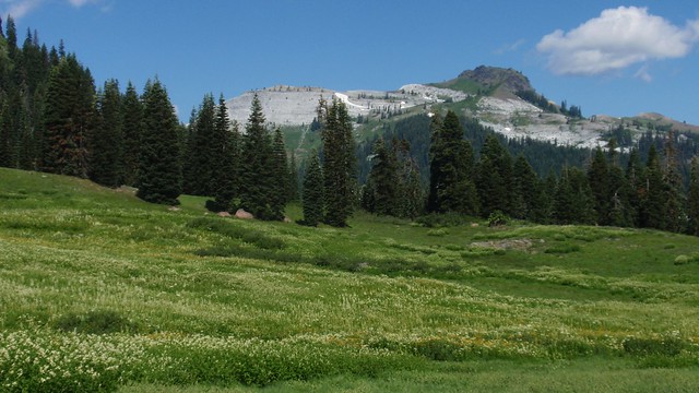
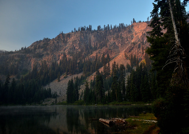
horse trail mapsThe Marble Mountain  Wilderness is an area of high divides, deep canyons and perennial mountain streams provides habitat for a wide variety of plant and animal life. With more than 7,000 feet of vertical relief, soils from several rock types, and abundant rain and snowfall, the diversity of ecosystems is unequaled anywhere else in the country.

fishing mapWith 89 lakes and two major Wild and Scenic river systems – Wooley Creek and the North Fork Salmon River, as well as 32 miles of the Pacific Crest Trail, there are many recreation opportunities. Elevations range from 400 to 8,299 feet; the wilderness has highly variable terrain with low-elevation canyons and high ridges such as the 22-mile-long English Peak ridge.

Popular activities include fishing, backpacking, mountaineering, rock climbing, and cross-country skiing.

camp map

There are also numerous caves within this wilderness, accessible to prepared spelunkers. They all feature stalactites and other flowstone formations, and are accessible mostly by vertical drops. Due to the hidden nature of most of the cave mouths, caving is not regulated, though the Forest Service and National Speleological Society request only experienced cavers attempt to access these dangerous caves. Signs at the trail heads that access the Marble Rim warn of white nose syndrome. One of the deepest caves in the continental US is located in the wilderness, Bigfoot Cave.

Sky High Basin 05

Summit Lake


Washington Hiking Books

Washington Hiking BooksPNW
The Pacific Northwest region covers both Washington and Oregon, which are directly north of California. Abundant coastlines, waterways, islands, with mountains with forests, rivers and waterfalls. Summer is the best time to camp in this state, as it rains most often in other months.

Books for Washington State: Hike, Bike, Fish, Kayak, Explore

Washington Hiking Books


Washington Hiking Books


Washington Hiking Books

see also – 

Columbia River Map
PCT Map 9 – Southern Washington
PCT Map 10 – Northern Washington

Oregon Hiking Books

Oregon Hiking BooksPNW
The Pacific Northwest region covers both Washington and Oregon, which are directly north of California. Abundant mountains with forests, rivers and waterfalls.

Hiking Books for Oregon State

Oregon Hiking Books Oregon Hiking Books

Oregon is a state in the Pacific Northwest region of the United States. The Columbia River delineates much of Oregon’s northern boundary with Washington, while the Snake River delineates much of its eastern boundary with Idaho. The 42° north parallel delineates the southern boundary with California and Nevada.

Oregon is one of the most geographically diverse states in the U.S., marked by volcanoes, abundant bodies of water, dense evergreen and mixed forests, as well as high deserts and semi-arid shrublands. Mount Hood, a stratovolcano, at 11,249 feet elevation is the state’s highest point. Oregon’s only national park, Crater Lake National Park, comprises the caldera surrounding Crater Lake, the deepest lake in the United States. The state is also home to the single largest organism in the world, Armillaria ostoyae, a fungus that runs beneath 2,200 acres of the Malheur National Forest.

Because of its diverse landscapes and waterways, Oregon’s economy is largely powered by various forms of agriculture, fishing, and hydroelectric power. Oregon is also the top timber producer of the contiguous United States, and the timber industry dominated the state’s economy in the 20th century. Technology is another one of Oregon’s major economic forces.

Oregon is 295 miles north to south at longest distance, and 395 miles east to west. With an area of 98,381 square miles, Oregon is slightly larger than the United Kingdom. It is the ninth largest state in the United States. Crater Lake National Park, the state’s only national park, is the site of the deepest lake in the United States at 1,943 feet.


canoe Oregon Hiking Books

see also – 

Columbia River Map
Oregon Dunes Map
Rogue River Float Guide
Rogue River National Forest Map 

Pacific Crest Trail Guide Books

PCT Hiking Guide BooksPCT Hiking Guide Books
Find Pacific Crest Trail Maps

PCT Hiking Guide Books

Listed below are the top rated books for the Pacific Crest Trail.

PCT Hiking Guide Books

PCT Hiking Guide Books

PCT Hiking Guide Books

PCT Hiking Guide Books

The Pacific Crest Trail, officially designated as the Pacific Crest National Scenic Trail, is a long-distance hiking and equestrian trail closely aligned with the highest portion of the Cascade and Sierra Nevada mountain ranges, which lie 100 to 150 miles east of the U.S. Pacific coast. The trail’s southern terminus is just south of Campo, California by the U.S. border with Mexico, and its northern terminus is on the Canada–US border on the edge of Manning Park in British Columbia; it passes through the states of California, Oregon, and Washington.

The Pacific Crest Trail is 2,653 miles long and ranges in elevation from just above sea level at the Oregon–Washington border on the Bridge of the Gods to 13,153 feet at Forester Pass in the Sierra Nevada. The route passes through 25 national forests and 7 national parks. Its midpoint is near Mount Lassen, where the Sierra and Cascade mountain ranges meet.

Thru hiking is a term used in referring to hikers who complete long-distance trails from end to end in a single trip. Thru-hiking is a long commitment, usually taking between four and six months, that requires thorough preparation and dedication. The Pacific Crest Trail Association estimates that it takes most hikers between six and eight months to plan their trip.

While most hikers travel from the southern terminus at the Mexico–US border northward to Manning Park, British Columbia, some hikers prefer a southbound route. In a normal weather year, northbound hikes are most practical due to snow and temperature considerations. Additionally, some hiker services are seasonal and may be better timed for northbound hikers.

see also – 

Recreation Maps of California
National Forest Atlases
Wilderness Maps