Mount Shasta Wilderness Map
w/ Castle Crags Wilderness
(alternate maps listed below)

OUTTA STOCK / OUTTA PRINT
Might be found @ ranger station
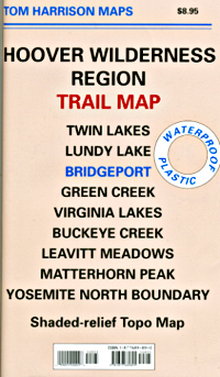
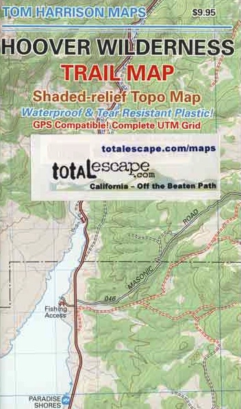
Map of Shasta / Castle Crags Map / Shasta County Map
Mount Shasta Wilderness and Castle Crags Wilderness, are Part of Shasta Trinity National Forest. Waterproof Plastic Paper. 2″ to mile; Usually only found at Ranger Stations. Perfect for a day hike reference or extended backpacking adventures. Printed on plastic in 2001.
Castle Crags Wilderness State Park, located along Interstate 5 NorCal, above Lake Shasta and south of Dunsmuir, CA
Mount Shasta Wilderness, western slopes of Mt Shasta, next to Mount Shasta City, CA
![]()
Mount Shasta Wilderness Map by Wilderness Press

Mount Shasta Wilderness Trail Map by Tom Harrison


Classic Rock Climbs #18
Castle Crags California Book by Laird Davis

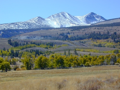
Mount Shasta is a potentially active volcano at the southern end of the Cascade Range in Siskiyou County, California. At an elevation of 14,179 feet, it is the second-highest peak in the Cascades and the fifth-highest in the state. Mount Shasta has an estimated volume of 85 cubic miles, which makes it the most voluminous stratovolcano in the Cascade Volcanic Arc. The mountain and surrounding area are part of the Shasta–Trinity National Forest.
 The summer climbing season runs from late April until October, although many attempts are made in the winter. Mount Shasta is also a popular destination for backcountry skiing. Many of the climbing routes can be descended by experienced skiers, and there are numerous lower-angled areas around the base of the mountain.
The most popular route on Mount Shasta is Avalanche Gulch route, which begins at the Bunny Flat Trailhead and gains about 7,300′ of elevation in a round trip of approximately 11.5 miles. The crux of this route is considered to be to climb from Lake Helen, at approximately 10,443′ to the top of Red Banks. The Red Banks are the most technical portion of the climb, as they are usually full of snow and ice, are very steep, and top out at around 13,000′ before the route heads to Misery Hill.
 The Casaval Ridge route is a steeper, more technical route on the mountain’s southwest ridge best climbed when there’s a lot of snow pack. This route tops out to the left (north) of the Red Banks, directly west of Misery Hill. So the final sections involve a trudge up Misery Hill to the summit plateau, similar to the Avalanche Gulch route.
Climbing Mount Shasta can be done in one day; however, it is often completed in two days. Climbers can ascend from Avalanche Gulch and camp at either Horse Camp @ 7,900′ elevation, or at Helen Lake @ 10,400′. Camping at a higher altitude also helps with acclimatization and often reduces risk of altitude sickness.
 No quota system currently exists for climbing Mount Shasta, and reservations are not required. However, climbers must obtain a summit pass and a wilderness permit to climb the mountain. Permits and passes are available at the ranger station in Mount Shasta and the ranger station in McCloud, or climbers can obtain self-issue permits and passes at any of the trailheads 24 hours a day.
see also –
Shasta Trinity National Forest Map
Shasta Trinity Forest Atlas
Shasta Books


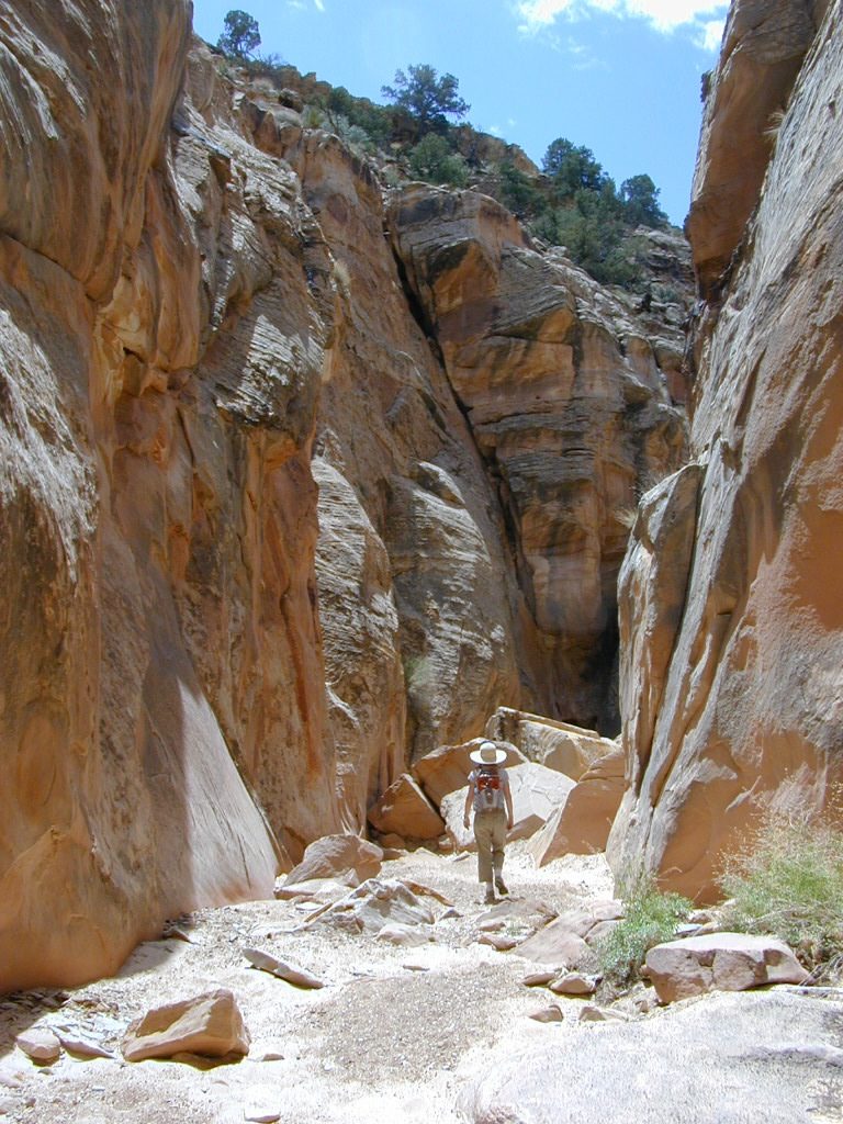
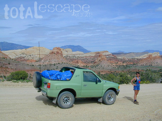
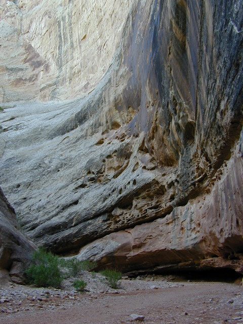
 Capital Reef is a fertile high desert canyon with plenty of great slot canyons and archways to explore. The main campground on the highway is located next to a historic fruit orchard.
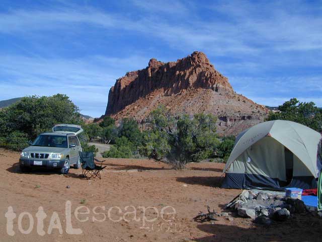
 Cathedral Valley is a cool off-road destination for secluded camping, way off the paved highway. Self sufficient campers only!
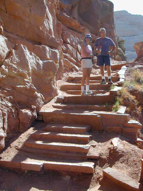
 campfire permits are required for back country camping. RV park, motels, market and restaurants available in Torrey.