Death Valley Maps

Death Valley National Park Maps
Hiking, Camping, 4×4 Routes
Death Valley Maps

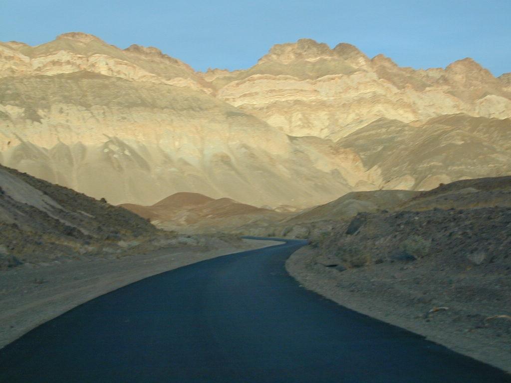
Artists Palette Drive (now paved)

Death Valley Trail Map

Topographical maps for DVNP can be found through Tom Harrison and National Geographic. Wilderness Press makes a couple of decent hiking books too.

Inyo National Forest Map from the USDA covers tall mountain peaks west of the National Park. Panamint Valley, Saline Valley, Darwin, Ballarat ghost town are all located on the west side and are also featured on these topographic maps.

National Park Map

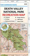
Death Valley Recreation Map, Tom Harrison
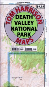
Death Valley Topo Map

Tom Harrison Recreation Map: Death Valley Maps; Death Valley National Park CA, Furnace Creek, Stovepipe Wells. Eureka Dunes, The Racetrack, Panamint Valley Off Roading, 4×4 Death Valley, Skidoo, Shoshone, Darwin Falls, Darwin Wilderness, Eureka Dunes, Furnace Creek, Zabriskie Point, Stovepipe Wells, Teakettle Junction, 20 Mule Team Canyon, Goler Wash; Barker Ranch, Ballarat Ghost Town California Mining Districts, Mojave Mining Camps, Saline Valley Hot Springs; Durable, waterproof plastic map; Folded. Map Scale: 250K; ISBN# 9781877689574
Death Valley Desert Maps

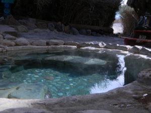
Saline Hot Pools @ Saline Valley, DVNP
DEATH VALLEY MAP

OLD VERSION


nearby towns –

death valley map

REAL OLD MAP

Death Valley Maps

Trails Illustrated Map, National Geographic Death Valley National Park Map #221
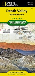
Death Valley NatGeo Map

Trails Illustrated Map from National Geographic. Death Valley National Park map #221. Inyo Mountains, Inyo Desert Camping, Badwater, Telescope Peak, Panamint Valley, Panamint Range, Ballarat ghost town, Manson Cabin, Amargosa mountains, Death Valley Backcountry map. Hiking Map. Many, many dirt roads and old mining operations to explore. Very detailed & colorful. Waterproof Plastic Map; Tear Resistant. GPS data. ISBN#749717012219
California Desert Map

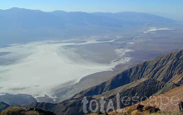
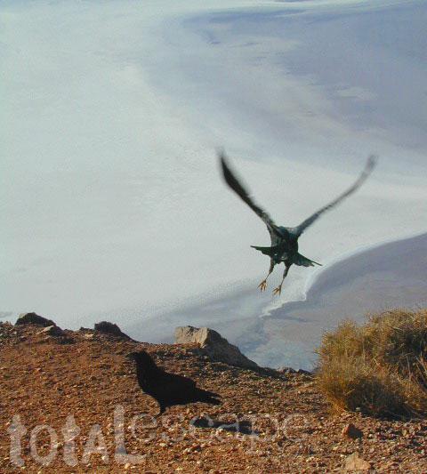
Raven launch at Zabriskie Point, with Badwater below in the background

Death Valley Maps, Death Valley National Park, Furnace Creek, Stovepipe Wells, Eureka Dunes, Panamint Valley, Scotty’s Castle, Barker Ranch, Manson Ranch, Furnace Creek, Stovepipe Wells. Eureka Dunes, The Racetrack, Panamint Valley Off Roading, 4×4 Death Valley, Skidoo, Shoshone, Darwin Falls, Darwin Wilderness, Eureka Dunes, Furnace Creek, Zabriskie Point, Stovepipe Wells, Teakettle Junction, 20 Mule Team Canyon, Goler Wash; Barker Ranch, Ballarat Ghost Town California Mining Districts, Mojave Mining Camps, Saline Valley Hot Springs

hikers map

Joshua Tree Maps

Joshua Tree National Park Map

Joshua Tree Maps
Both Tom Harrison and NatGeo make awesome recreation maps of this popular SoCal desert. Numerous campgrounds, hiking trails, dirt roads, historic mines, and plenty rock climbing spots. In 1934, Joshua Tree was designated as a National Monument and then later became a National Park in 1994. The local Palm Springs Desert BLM office has paper maps that cover the desert canyon areas near Interstate 10.

JT Maps

Joshua Tree Recreation Map
by Tom Harrison

JTNP TomHarrison

Joshua Tree National Park Map, Climbing Joshua Tree Camping Backpacking Maps, Areas include: Black Rock Canyon, Hidden Valley, Barker Dam, Keys View, Lost Horse Valley, Lost Horse Mine, Ryan Mountain, Cholla Cactus Garden, Cottonwood Spring, Lost Palms Oasis, Geology Tour Road, Cap Rock, Jumbo Rocks, Wonderland of Rocks, Arch Rock. High Desert Yucca Valley; Durable, waterproof plastic map; Folded. Map Scale: 125K; ISBN# 9781877689536

Joshua Tree Maps

Quiet Camps in the Desert

Joshua Tree National Park Map #226
by National Geographic

JTNP NatGeo

Trails Illustrated Map from National Geographic. Joshua Tree National Park Map #226. Joshua Tree Park Map, Camping & Hiking Map. Very detailed & colorful. Waterproof Plastic Map; Tear Resistant. GPS data. Scale 1:80,000 Contour Interval = 100 feet. ISBN# 9781566953009

Joshua Tree Maps

Joshua Tree Maps

Joshua Tree Maps

Joshua Tree Maps can get you beyond the crowds, to the outlying places that few know about. Summers can be hot here in the High Desert at 4000′ elevation, but not as hot as the Palm Springs / Coachella Valley below.

Winters can be chilly and windy, especially with any storm front moving through SoCal. Snow is possible at this elevation. Low temps overnight can drop into the teens during certain times of year – so make sure to bring a zero degree sleeping bag and good thermal undies.

Spring (wildflowers) and autumn are ideal times to visit JTNP.

Joshua Tree Maps

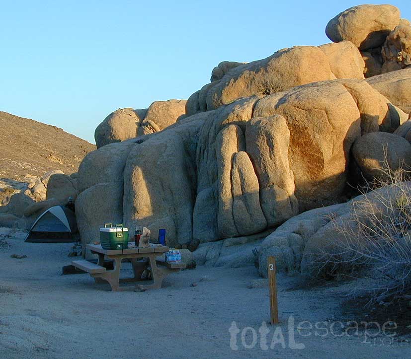
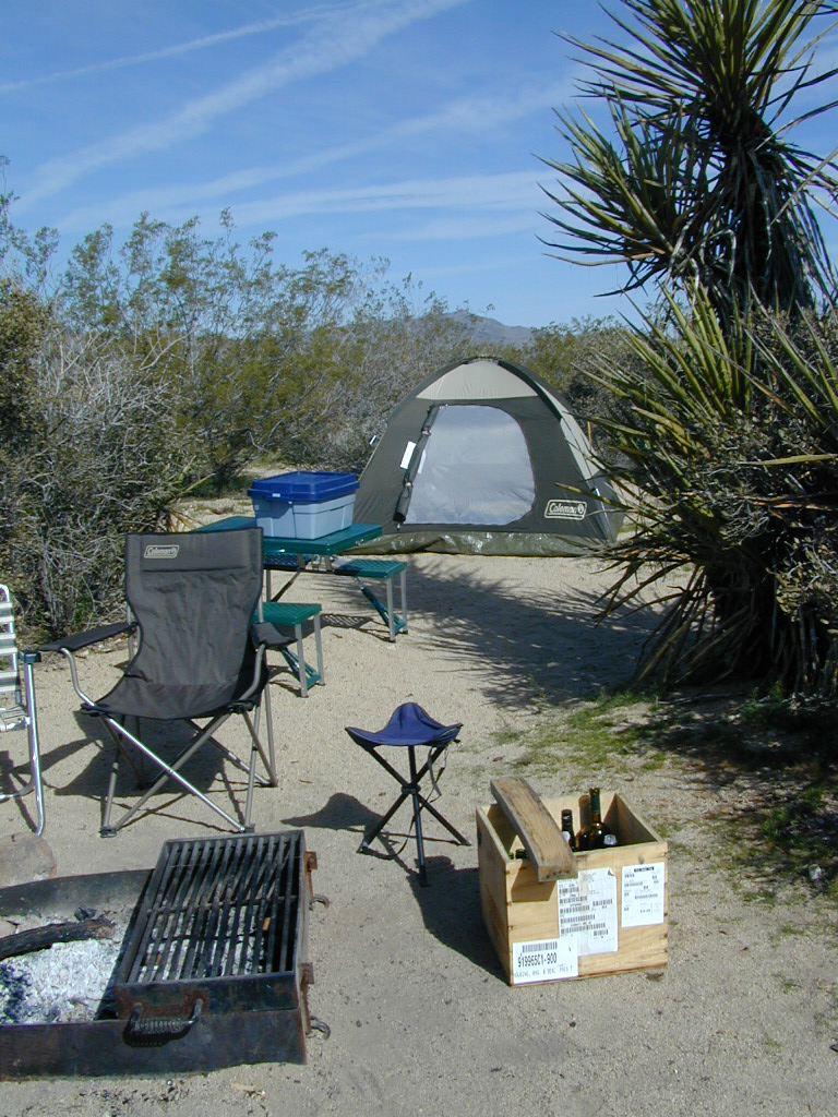
Camping Joshua Tree National Park Desert

Hetch Hetchy Maps

NatGeo Map #307
Yosemite NW – Hetch Hetchy Reservoir

Yosemite Hetch Hetchy
Yosemite Northwest Map

NatGeo Trails Illustrated Yosemite NW Northwest
Hetch Hetchy Reservoir, Hetchy Map #307

Yosemite Highway 120, California Sierra Nevada Hikes, Campgrounds, Backpacking trailheads, Yosemite PCT, Pacific Crest Trail, Yosemite Wilderness High Country, Grand Canyon of the Tuolumne River, Lake Hiking Trails, granite peaks and gorges, alpine terrain. 1:40,000 scale; GPS Compatible, Full UTM Grid. 2 sided. Waterproof map. ISBN# 9781566954129

Stanislaus National Forest with Cherry Lake, Cherry Creek, Mary Lake, Tower Lake, Upper Piute Meadows, Wilma Lake, Lake Eleanor, Tilden Lake, White Wolf, Pate Valley, Emigrant Wilderness, Emigrant Lake, Huckleberry Lake, Huckleberry Trail, Stubblefield Canyon, Kerrick Canyon, Tilden Canyon, Jack Main Canyon, Andrews Peak, Lake Vernon, Frog Creek, Buck Lakes, Long Lake, Jewelry Lake, Louse Canyon, Bell Meadow, Lord Meadow, Kibbie Lake, Kibbie Ridge, Spotted Fawn Lake, Boundary Lake, Dimond O Campground, Preston Falls, Mather, Birch Lake, Bald Mountain, Long Gulch Creek, Aspen Valley, Harden Lake, Yosemite Creek Campground, McSwain Meadows

Hetch Hetchy Hiking MapsTRAILS: Trail #19E58, Trail #19E59, Trail #19E66, Trail #19E17, Trail #19E28, Trail #19E76, Trail #20E11, Trail #20E04, Trail #2000, Trail #056, Trail #21E50, Trail #21E52, Trail #21E08, Trail #21E07, Trail #21E26, Trail #19E50, Trail #20E16, Emigrant Trail #20E98

ROADS: Tioga Highway 120, Evergreen Road, National Forest Road #1S74, Road #1S16Y, Road #1S25, Road #1S89, Road #1S19, Road #1S32, Road #1N04

Hetch Hetchy Maps

Hetch Hetchy Trail Map
by Tom Harrison Topo Maps

Hetch Hetchy Maps

OLDER EDITION

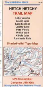
Tom Harrison Yosemite Hetch Hetchy Map, Backpacking Yosemite Backcountry, Topo Maps of Yosemite National Park Hetch Hetchy Highcountry, Camping Yosemite Park Hiking Trails; Areas covered: Cherry Lake, Lake Vernon, Laurel Lake, Lake Eleanor Map, Pate Valley, White Wolf Lodge Yosemite, Kibbie Lake, Rancheria Falls Hiking Map. Durable, waterproof plastic map; Folded. Map Scale: 63K; ISBN# 9781877689932

Yosemite Hetch Hetchy Map, Yosemite Lake, Reservoir, Backpacking Yosemite Backcountry, Topo Maps of Yosemite National Park Hetch Hetchy Highcountry, Camping Yosemite Park Hiking Trails.

Tom Harrison Trail Map
for Hetch Hetchy Lake


river map

camp map

Hetch Hetchy Maps

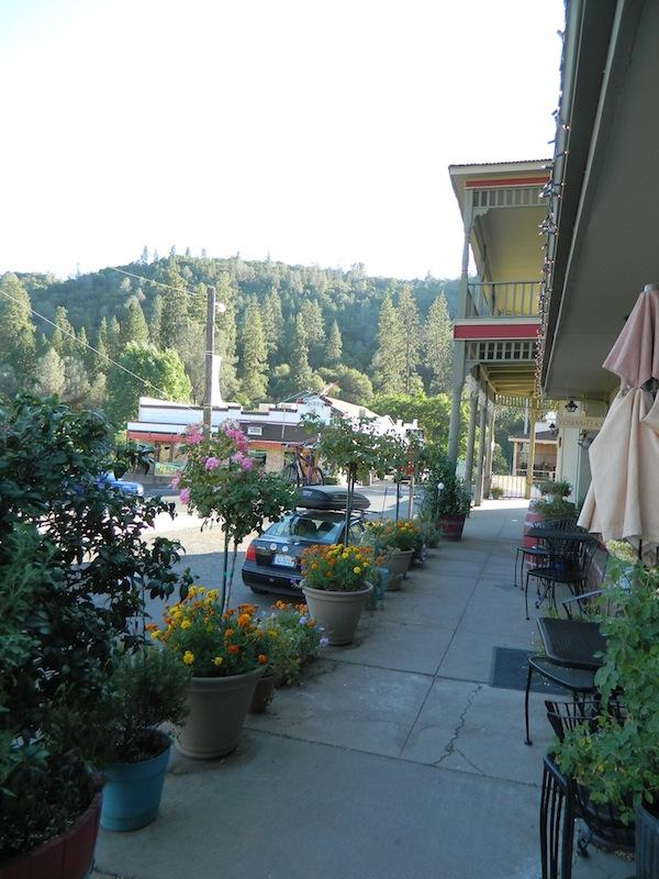
Cool Small Towns near Yosemite National Park


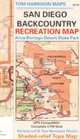
San Diego Backcountry Map

San Diego Deserts Map

San Diego Desert Map

TH SD topo map

OLDER EDITION

Topographic Maps by Tom Harrison: San Diego Deserts, Anza Borrego Desert. This is the #1 top selling map for the San Diego deserts!

San Diego Backcountry Recreation Map covers the entire Anza Borrego Desert State Park, the largest State Park in California & some portions of Cleveland National Forest; San Diego County Road S-2, S-22, Interstate 8, Highway 78 & Highway 94 to Tecate Mexico.

Areas surrounding Borrego Springs, Anza Borrego Park map, Julian & Warner Springs. PCT access (Pacific Crest Trail) plus Table Mountain, Sheep Canyon, OHV Deserts Ocotillo Wells SVRA, McCain Valley Camping, Carrizo Gorge Trestle Hike, Jacumba Hot Springs, Tierra del Sol 4×4 Trails, San Diego Lake Morena, Barrett Lake, Campo CA Potrero Regional Park, Agua Caliente Hot Springs, Vallecito, Carrizo Goat Trestle & Canyon sin Nombre Badlands.

Recreation Map by Tom Harrison. Durable, waterproof plastic map; Folded. Map Scale: 125K; ISBN# 9781877689543

San Diego Desert Map

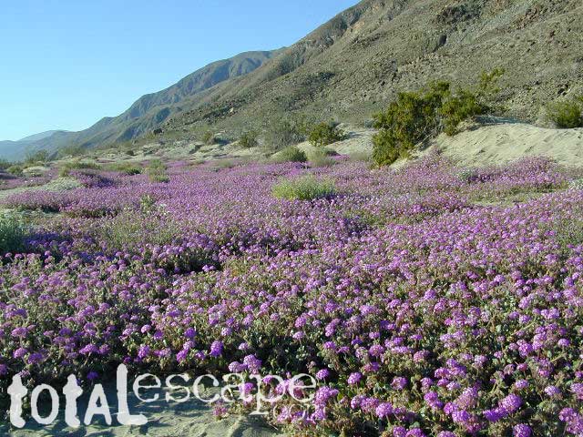
Borrego Desert is known best for Spring wildflowers (FEB-APRIL)

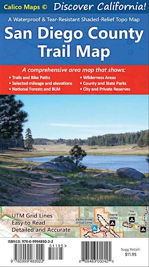
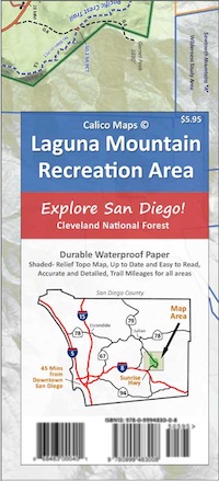
Two New San Diego Maps by Calico

San Diego County Trail Map

San Diego County Trail Map

Mount Laguna Map

Mount Laguna Trail Map

see also –
Cleveland National Forest Map 
Cleveland Forest Topo Atlas
Wilderness Press Map of Anza Borrego Desert

camp map

more exploring Anza Borrego:

Anza 4×4 Trails
Agua Caliente Hot Springs
Canon Sin Nombre Slot Canyons
Carrizo Gorge Goat Trestle
Culp Valley Camping
Great Overland Stagecoach Route of 1849
Mason Valley Truck Trail
Old Kane Springs Road
Split Mountain
Vallecito

Split Mountain Borrego

Split Mountain, Anza Borrego State Park, Southern California

4x4 maps

hiking

San Diego Camping, Anza Borrego Desert:

hikers map

nearby towns:

Hiking Maps Anza

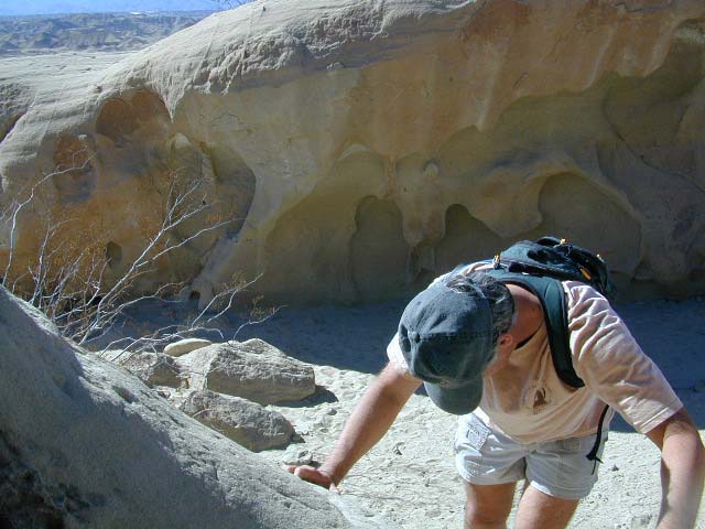
Exploring wind caves @ Fish Creek, in Anza Borrego Desert

wildflower

campsunset

The whole canyon, all to yourself