Palisades Trail Map

Palisades Glacier Map
Palisades Trail Map
by Tom Harrison Maps

Eastern Sierra / Palisade Glacier / Norman Clyde Glacier

Tom Harrison Map: The Palisades Trail Map, Bishop Pass Area, Backpacking High Sierra; Areas include: Mount Sill, Mount Jepson, Mount Winchell, Big Pine Lakes, Palisades Basin, North Palisade, Thunderbolt Peak, Norman Clyde Glacier, Middle Palisade Glacier, Inyo National Forest, Inyo High Country, Sierra High Country; Hiking Maps Backpacking Trip, California Sierra Camping.
Palisades Trail Map

OLDER EDITION

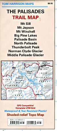
Durable, Shaded-relief topographic map printed on waterproof plastic; GPS Compatible – Complete UTM Grid. Folded. Map Scale: 31.7K; ISBN# 9781877689970

The Palisades Trail Map covers the Big Creek area of the Eastern Sierra on the boundary between Kings Canyon National Park and Inyo National Forest. Map includes the Palisades and Norman Clyde Glaciers, Bishop and Mather Pass, and the Big Pine Lakes.

  • Big Pine Lakes
  • Mount Sill
  • Mount Jepson
  • Mount Winchell
  • North Palisade
  • Norman Clyde Glacier
  • Mid Palisade Glacier
  • Thunderbolt Peak
Palisades Trail Map

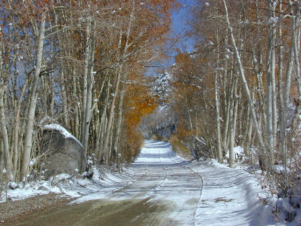
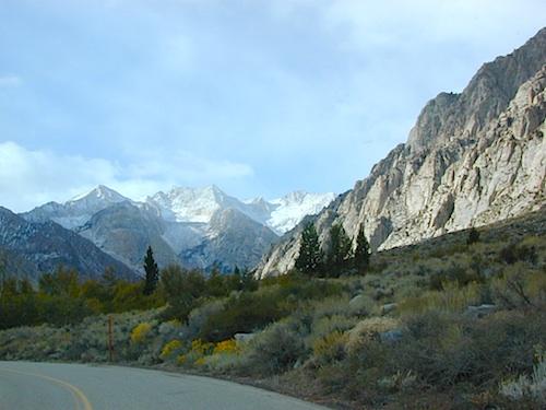
Autumn Colors meet SNOW in early October

nearby towns:
Big Pine, CA
Bishop, CA

The Palisade Glacier is a glacier located on the northeast side of the Palisades within the John Muir Wilderness. The glacier descends from the flanks of four mountain peaks over 14,000′ in elevation of which North Palisade 14,242′ is third highest peak in the Sierra Nevada Range.

The cirque containing the Palisade Glacier has a history of thousands of years of glaciation. The modern glacier attained its last maximum extent during the Little Ice Age, between 250 and 170 years ago – a period also known as the Matthes glaciation in the Sierra Nevada.

The glacier is under a mile long and half mile wide. It is located between 13,400 and 12,000; elevation and moves at a rate of 20 feet per year, although it is also retreating. Palisade Glacier is one of the few glaciers in California that terminates in a proglacial lake dammed by its former moraine and the lake is turquoise colored from the glacial powder suspended in the water. The Big Pine Lakes below the glacier are also the same color.

see also –

Inyo National Forest Map
Inyo Forest Topo Atlas
Bishop Pass Map
Mount Whiney Maps
Mono Divide High Country Map

Mono Divide Trail Map

Pine Creek Canyon, N of Bishop, CA

Mono Divide Map
Mono Divide Map
Tom Harrison Trail Maps

Mono Divide High Country, June Lake

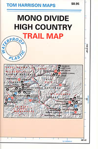
Mono Divide High Country, Mono Backpacking Map, High Sierra, Alpine & Eastern Sierra Camping Maps; NOTE: this hiking area is NOT @ Mono Lake

This regional map of the high country Sierra Nevada includes E of Fresno (Hwy 168) Mono Hot Springs, San Joaquin River headwaters, Edison Lake, Florence Lake, parts of Kaiser Pass, Bishop Pass areas of Sabrina Lake, South Lake, & even Rock Creek Camping. High Sierra Trails by Tom Harrison, Mono Divide High Country, Sierra High Country Hikes, Backpacking Sierra Nevada, Mammoth Hiking Trails, Sierra Nevada Topo, Waterproof, Topographic Maps California.
Durable, waterproof plastic map; Folded. Map Scale: 63K; ISBN# 9781877689468

Mono Divide Trail Map

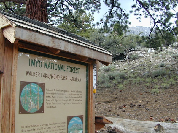
Mono Pass Trailhead @ Walker Lake

Mono Divide Trail Map

Mono Divide Trail Map

OLD VERSION

Mono Divide Trail Map

REAL OLD ONE

see also –
Mammoth Highcountry Map by Tom Harrison
Mammoth Lakes Mono Divide Map NatGeo
Mono Lake Map

John Muir Trail Maps

Mono Divide Trail Map

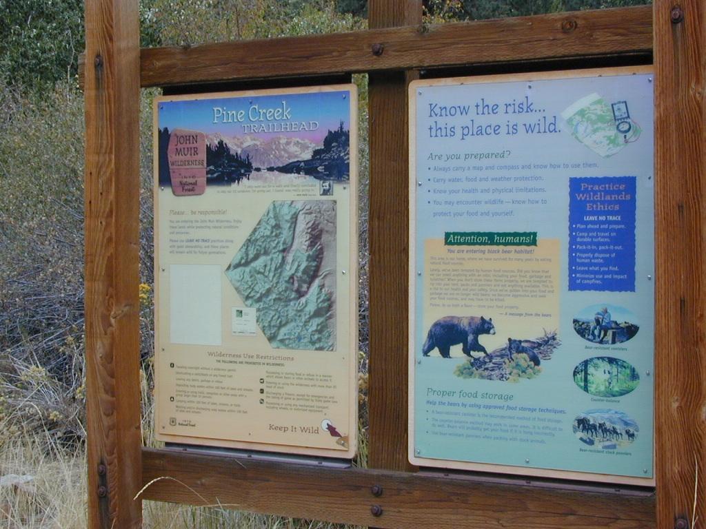
Pine Creek Trailhead

Tuolumne Meadows Map

Tuolumne Meadows Map
Tuolumne Trail Map
High Sierra Camps
Tom Harrison

2022: OUTTA PRINT & UNAVAILABLE

tuolumne

HIGH SIERRA CAMP LOOP
Tuolumne climbing. Tuolumne falls. Tuolumne hikes.

Tuolumne Meadows Map

PREVIOUS VERSION

Tuolumne Meadows & Tuolumne River

Yosemite National Park hikes

Tuolumne Meadows Trail Map; Yosemite Tuolumne Mdws Hiking Map. Areas include: High Sierra Camps, May Lake, Vogelsang Camp, Sunrise Camp, Elizabeth Lake, Tenaya Lake, Yosemite Backcountry Highcountry, Waterwheel Falls, Merced Lake, Glen Aulin. Map features the entire High Sierra Camp Loop Trail, and interception of the John Muir Trail and the Pacific Crest Trail.

Topo Yosemite Topo Maps Backpacking Tuolumne High Country, High Sierra Loop Maps; GPS Compatible. Durable, waterproof plastic map; Folded. Map Scale: 42K; ISBN# 9781877689802

hikers map

to Vogelsang

Vogelsang Camp

Vogelsang Camp

High Sierra Camps at Yosemite National Park are a network of summer tent cabin camps, erected in the wilderness, that are linked by a 50 mile loop hiking trail. The only way to reach these camps is on foot. Call it ‘ultralight backpacking’ cuz you can leave out the tent, stove and half the food. Meals are prepared in kitchens at each camp. Passing alpine lakes, creeks, meadows and granite peaks, the trails cover granite slabs, waterfalls, wildflowers and epic views of the back country. Advance reservations are required.

HSC High Sierra Camp Loop:

  • Tuolumne Meadows Camp
  • Volgelsang Camp
  • Lake Merced Camp
  • Sunrise Camp
  • May Lake Camp

Hiking Maps

see also –

All Yosemite Maps by Tom Harrison
Half Dome Trail Map
All Yosemite Maps by NatGeo
Ansel Adams Wilderness Maps
John Muir Trail Map 

John Muir Wilderness Maps

JMT: John Muir Trail Map

High Sierra Trail

hikerThe John Muir Trail is a long-distance hiking trail in the Sierra Nevada mountain range of California, passing through Yosemite, Kings Canyon and Sequoia National Parks.

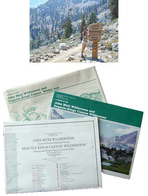
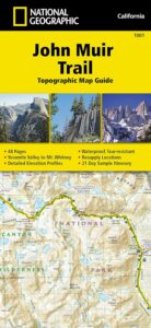
USDA makes paper maps for John Muir Wilderness w/ Kings Canyon, and Tom Harrison offers the waterproof John Muir Map Pack. National Geographic also makes a topo map for the John Muir Trail.

John Muir Wilderness

Onion Valley Campground

Ansel Adams Wilderness

driftwood

John Muir Maps USDA
John Muir Wilderness with Sequoia Kings Canyon Wilderness

johnmuirmap

U.S. Forest Service – NFS. Old school maps – two large paper sheets. Available at Inyo National Forest Ranger Stations, USGS website or the Eastern Sierra Interagency Visitors Center on US Highway 395.

Eastern Sierra Mountains
Highest Sierra Peaks

Perfect for a day hike reference or extended backpacking adventures. Map Scale = 1″ to mile; Printed on paper w/ large storage envelope. Limited availability.

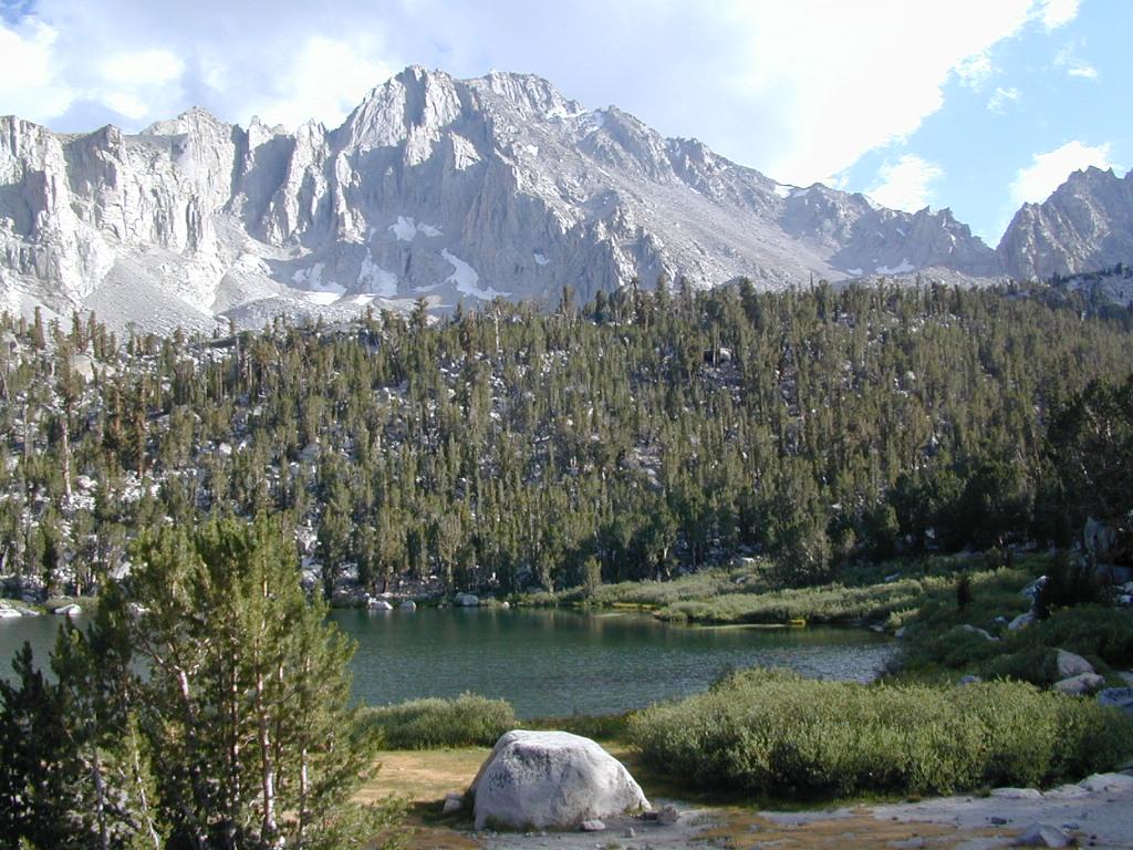
gilbertlake

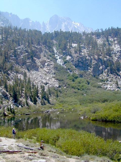
Gilbert Lake, above Onion Valley, Eastern Sierra Independence, CA

fish

driftwood

John Muir Wilderness Map Set
Tom Harrison Maps

Tom Harrison John Muir Pack
John Muir Trail Maps by Tom Harrison, High Sierra Backpacking Maps, Highcountry Trail Map. Eastern Sierra Mountains inside Inyo National Forest

Mount Whitney, Lone Pine, Independence, Big Pine, Bishop, Mammoth Lakes – Eastern California.

John Muir Wilderness Map Set of 13 individual maps. Durable, waterproof plastic map; Smaller maps, not folded. Map Scale: 63K; ISBN# 9781877689345

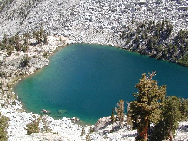
Heart Lake

horseback

National Geographic makes a decent John Muir Trail Map too!
NatGeo John Muir

nearby towns:

lilpothole

Little Pot Hole Lake, Kearsarge Pass Hike