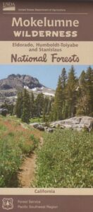
Mokelumne Maps
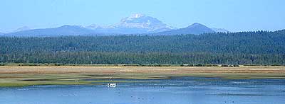
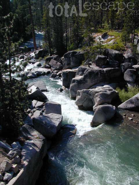
Mokelumne sits in between Carson Pass (Hwy 88) and the Ebbetts Pass (Hwy 4) – a vast Sierra mountainous area, south of Lake Tahoe. With high elevation passes that are usually closed more than half the year due to deep snow, this area becomes summer vacation haven for outdoor seekers. Mokelumne Wilderness Maps can show you the details for picnics, day hikes, trailheads, backpacking routes, horse packing trail camps, alpine lakes, reservoirs and the Mokelumne River.
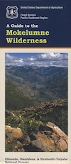
Mokelumne Map USDA
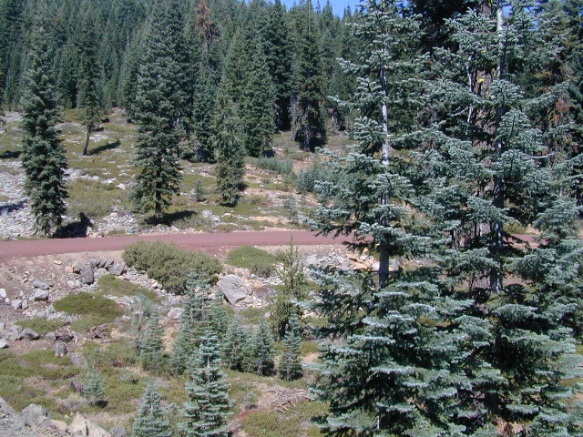
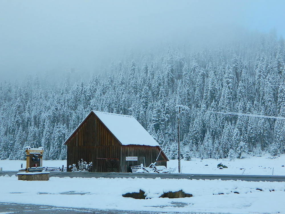
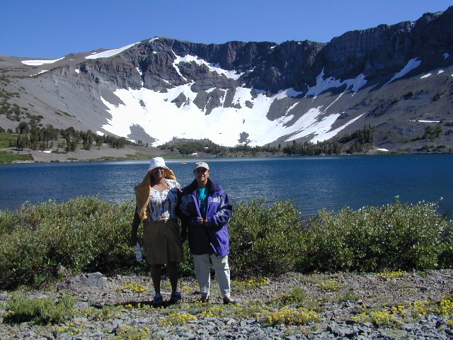
Mokelumne Wilderness is located in the Central Sierra Nevada mountains, above the Gold Country foothills, in between Hwy 88, 89 and 4; due south of Lake Tahoe. Fish, mountain bike, kayak, camp, backpack, horseback. It is all out here in gorgeous-ville. Lakes and peaks, rivers and creeks. All of this beauty and adventure waiting for you, but only accessible half the year (or less) – due to snow. Certain areas are designated  for winter recreation, cross country skiing and snowmobiling.
Mokelumne is bordered by 3 National Forests, in the middle of the Sierra Nevada mountain range: Stanislaus NF, El Dorado NF & Toiyabe NF.
PREVIOUS EDITION MAP
Mokelumne Wilderness Map
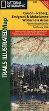
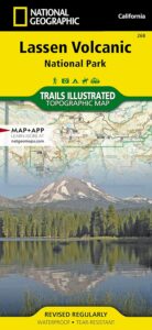
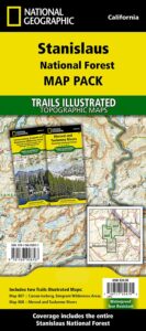
#807 NatGeo
National Geographic produces high quality topo maps with Trails Illustrated. High elevation, outdoor recreation highlights, trailhead parking, all roads, all trails, all campgrounds, peaks, lakes. GPS info. Full color, 2 sided map. Map 807
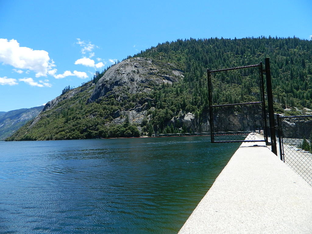
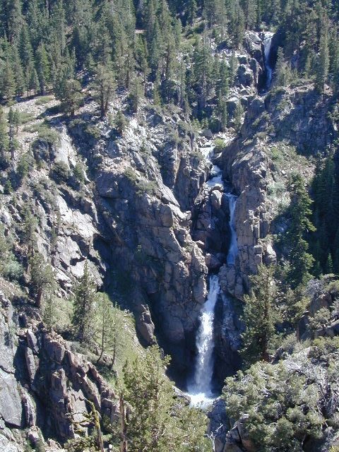
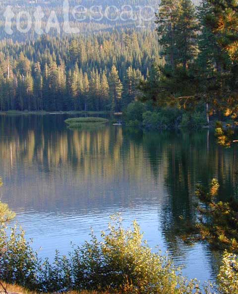
Salt Springs Reservoir
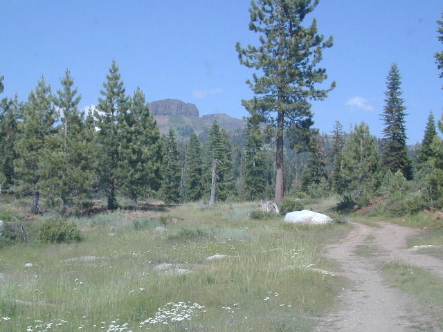
Mokelumne Wilderness
- Carson Pass Camping

- Carson River Fishing
- Silver Lake @ Carson
- Mokelumne River
- Grover Hot Springs
- Blue Lakes California
- Eastern Sierra Hikes
- Ebbetts Pass Trailheads

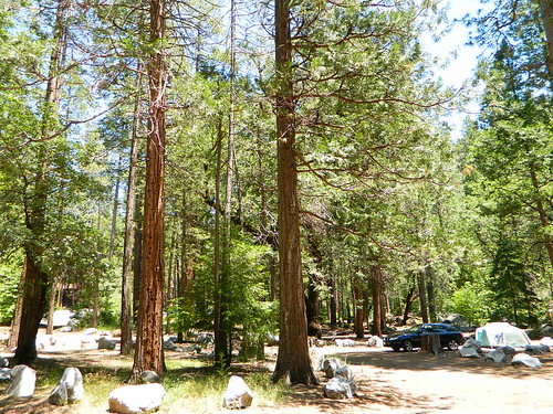
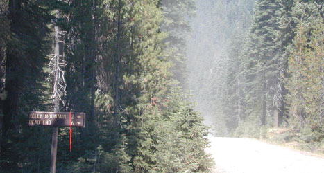
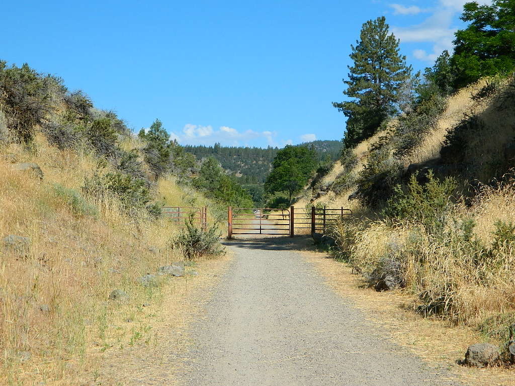
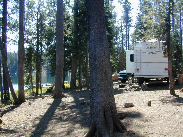
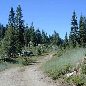
Bordering the wilderness lands for day hikes and car camp on the outskirts. Plenty of dirt road in this region will lead to dispersed camp sites. Or do a backpacking week, or a horse pack adventure – deep into the untouched wild country of the Sierra Nevada mountains.
towns nearby:
Free Camgrounds in the Sierra
see also –
- California Fishing Maps
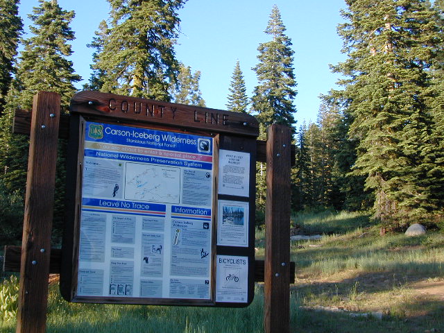
- Carson Iceberg Wilderness Map
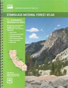
- Stanislaus Forest Topo Atlas
- Stanislaus National Forest Map
- Toiyabe National Forest Map

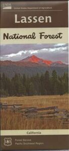
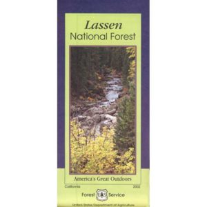
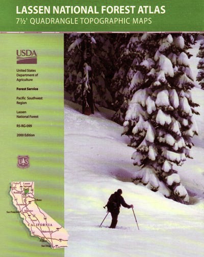
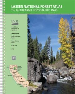
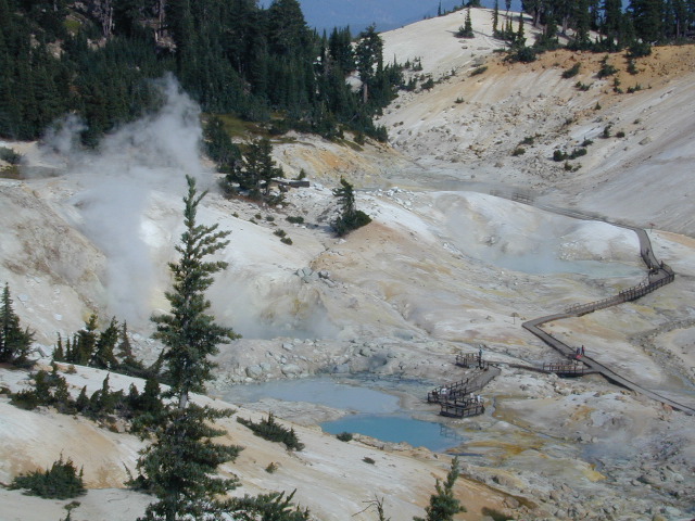
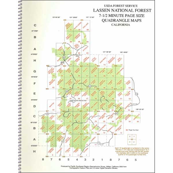
 Lassen National Forest Map includes all of Lassen Volcanic National Park too.


