Baja California Maps

Baja Road Trip Map
Baja California Mexico
Baja Road Trip Map

Benchmark Baja California
Road & Recreation Atlas

Baja Map Mexico

New atlas for Baja California MX, created by Benchmark Maps.
Released MAY 2021

Baja Map Mexico

old baja almanacDecent printed Baja Maps are always hard to come by. If you are seeking a hard copy Baja Road Trip Map, then the links below may help you find one.
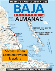
Historic Baja Almanac >

Landon’s legacy will always live on with the amazing map that he created; published between 1997-2009. The Baja California Almanac is regarded as the best topographical map of the Baja California peninsula. This map book has been out of print since 2010 and finding one on eBay or Amazon is often difficult.

baja trail mapLandon S. Crumpton (RIP) * dirt biker turned map maker

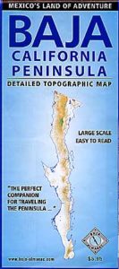
baja foldout map

OLD fold-out MAP

This smaller Baja fold out map was a once-off map publication that was printed in the mid-2000s, but it is impossible to find now. Originally selling for a mere $5.95, they were quickly outta stock and never to be seen again.

Furthermore, if you are seeking to travel Baja California in depth, may we suggest a GPS unit; and downloading the more relevant, digital maps over at Baja GPS Guide. They have newer digital maps for this region. Claiming to be the most detailed map of Baja, Copper Canyon, and mainland Mexico. NOTE: must own a compatible GPS for this map. BAJA & MEXICO E32 TOPO MAP
baja maps

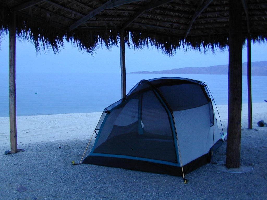
Gonzaga Bay, Baja California Mexico

Explore Baja: Petroglyphs, Back Roads, Surf Spots, Fishing Maps, Off Road Routes, Mountains, Deserts, Camping, Beaches, Sea of Cortez; in particular, these popular favorite south-of-the-border destinations Guadalupe Canyon Hot Springs and Mikes Sky Ranch

Several notable Baja California towns:camp maps

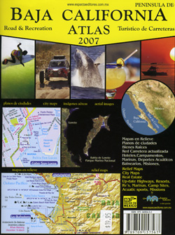
baja California atlas

OUT OF PRINT

4x4 maps

Surf Baja Road Trip Map

Surf Baja California


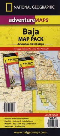
National Geographic makes Baja Maps!

maps of Baja California

Baja Road Trip Maps (2 pack) by NatGeo

Plumas Books

Plumas Books

Roger’s Cow Camp, Plumas NF

Find Plumas Map

Feather River Map

Plumas National Forest, Rivers and Lakes

campfireA horrific, huge amount of Plumas National Forest has been recently burned by wildfires in recent years, resulting in many trail, lake and campground closures in certain regions. Call ahead to ranger stations to see what is actually open, before you make the long drive.


Plumas Books

Plumas Books

Plumas Books

Plumas Books

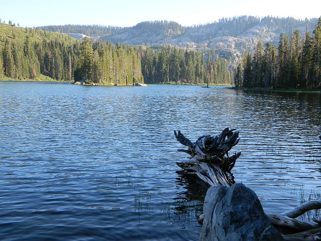
Silver Lake has a small campground accessed via dirt road.

Plumas Destinations:Plumas Books

Oregon Hiking Books

Oregon Hiking BooksPNW
The Pacific Northwest region covers both Washington and Oregon, which are directly north of California. Abundant mountains with forests, rivers and waterfalls.

Hiking Books for Oregon State

Oregon Hiking Books Oregon Hiking Books

Oregon is a state in the Pacific Northwest region of the United States. The Columbia River delineates much of Oregon’s northern boundary with Washington, while the Snake River delineates much of its eastern boundary with Idaho. The 42° north parallel delineates the southern boundary with California and Nevada.

Oregon is one of the most geographically diverse states in the U.S., marked by volcanoes, abundant bodies of water, dense evergreen and mixed forests, as well as high deserts and semi-arid shrublands. Mount Hood, a stratovolcano, at 11,249 feet elevation is the state’s highest point. Oregon’s only national park, Crater Lake National Park, comprises the caldera surrounding Crater Lake, the deepest lake in the United States. The state is also home to the single largest organism in the world, Armillaria ostoyae, a fungus that runs beneath 2,200 acres of the Malheur National Forest.

Because of its diverse landscapes and waterways, Oregon’s economy is largely powered by various forms of agriculture, fishing, and hydroelectric power. Oregon is also the top timber producer of the contiguous United States, and the timber industry dominated the state’s economy in the 20th century. Technology is another one of Oregon’s major economic forces.

Oregon is 295 miles north to south at longest distance, and 395 miles east to west. With an area of 98,381 square miles, Oregon is slightly larger than the United Kingdom. It is the ninth largest state in the United States. Crater Lake National Park, the state’s only national park, is the site of the deepest lake in the United States at 1,943 feet.


canoe Oregon Hiking Books

see also – 

Columbia River Map
Oregon Dunes Map
Rogue River Float Guide
Rogue River National Forest Map 

Baja California Books

Benchmark Baja California
Road & Recreation Atlas

Baja Map Mexico

Release date MAY 2021 – announcing a brand new atlas for Baja California, created by Benchmark Maps. 

see more Baja California Maps

Baja California Books

Baja California Mexico

Baja California Mexico Books


Baja California Books

Baja California Books

Baja California Books

Lower California

as opposed to Alta California (US state of California)

Baja California encompasses a territory within the Californias region of North America, which exhibits diverse geography for a relatively small area. The Peninsular ranges of the California cordillera run down the geographic center of the state. The most notable ranges of these mountains are the Sierra de Juárez and the Sierra de San Pedro Mártir. These ranges are the location of forests reminiscent of Southern California’s San Gabriel Mountains. Picacho del Diablo is the highest peak on the peninsula.

Valleys between the mountain ranges are located within a farm growing climate zone, that is particularly suitable for agriculture. Such valleys include the Valle de Guadalupe and the Valle de Ojos Negros, areas that produce citrus fruits and grapes. The mineral-rich mountain range extends southwards to the Gulf of California, where the western slope becomes wider, forming the Llanos del Berrendo on the border with Baja California Sur. The mountain ranges located in the center and southern part of the state include the Sierra de La Asamblea, Sierra de Calamajué, Sierra de San Luis and the Sierra de San Borja.

Baja Climate

Temperate winds from the Pacific Ocean and the cold California Current make the climate along the northwestern coast pleasant year-round. Rains from the north barely reach the peninsula, thus leaving southern areas drier. South of the El Rosario River, the terrain changes from a Mediterranean landscape to a desert one. This desert exhibits diverse succulent species that flourish in part due to the coastal fog.

There are numerous islands on the Pacific shore. Guadalupe Island is located in the extreme west of the state’s boundaries and is the site of large colonies of sea lions. Cedros Island exists in the southwest of the state’s maritime region. The Todos Santos islands are located off the coast of Ensenada; Coronado Islands are located off of Tijuana.

Baja California Books

Gonzaga Bay, Baja California Mexico