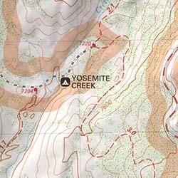
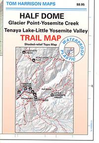
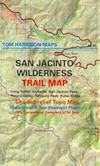
San Jacinto Trail Map
Mt San Jacinto Map
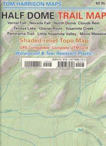
Tom Harrison
Tahquitz Peak / Idyllwild Mountains / Palm Springs
Mount San Jacinto Map. Southern California

Tahquitz Peak Climb, Tom Harrison Trail Map: San Jacinto Wilderness CA; Mount San Jacinto State Park Idyllwild Camping Backpacking; San Jacinto Peak, Palm Springs Hiking. Durable, waterproof plastic map; Folded. Map Scale: 42K; ISBN# 9781877689437
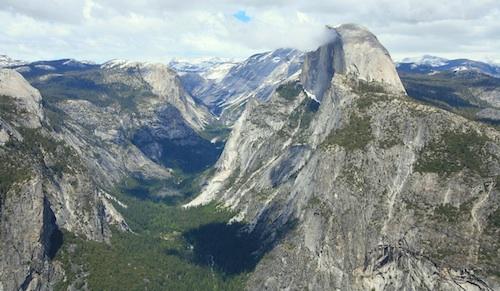
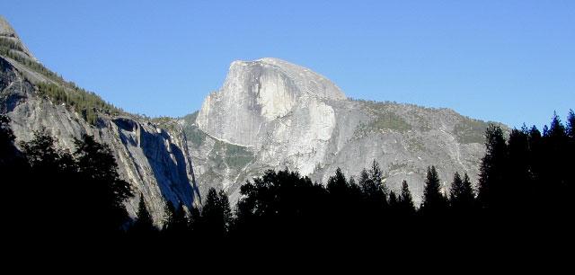
San Jacinto Peak, also known as Mount San Jacinto, is a 10,834 foot mountain peak in the San Jacinto Mountains, in Riverside County, California. Lying within Mount San Jacinto State Park it is the highest both in the range and the county, and serves as the southern border of the San Gorgonio Pass.
OLD VERSION
To the east the peak towers over the city of Palm Springs (elevation 479′); to the west, it borders the mountain community of Idyllwild (elevation 5,413′). The steep escarpment of its north face, above Snow Creek, climbs over 10,000′ in 7 miles. This is one of the largest gains in elevation over such a small horizontal distance in the contiguous United States.
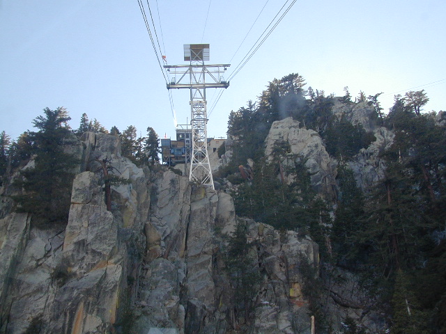
Tram Ride to the Top
Take the Tram
San Jacinto Peak is easily accessible, as many trails penetrate the Santa Rosa and San Jacinto Mountains National Monument. One popular route starts with a ride on the Palm Springs Aerial Tramway from Valley Station at 2,643′ feet near Palm Springs up to Mountain Station at 8,516′. From there, one can easily climb the mountain face via trails.
Another route is to hike the Marion Mountain Trail near the mountain town of Idyllwild, off Highway 243. The Cactus to Clouds Trail involves an arduous climb of approximately 10,700′ feet from the desert floor in Palm Springs to the summit. This trail has no water sources until 8,500′, so early starts are advised to avoid the temperatures which often soar above 100°F.
San Jacinto Mountains National Monument
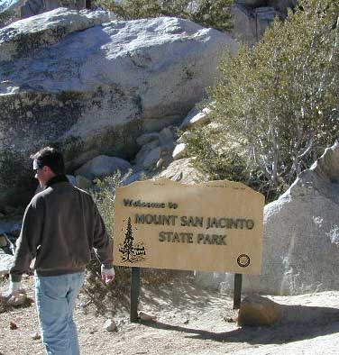
San Jacinto State Park
San Jacinto Wilderness
see also –
San Bernardino National Forest Map
San Bernardino Forest Atlas
San Gorgonio Wilderness Trail Map


 The summer climbing season runs from late April until October, although many attempts are made in the winter. Mount Shasta is also a popular destination for backcountry skiing. Many of the climbing routes can be descended by experienced skiers, and there are numerous lower-angled areas around the base of the mountain.
 The Casaval Ridge route is a steeper, more technical route on the mountain’s southwest ridge best climbed when there’s a lot of snow pack. This route tops out to the left (north) of the Red Banks, directly west of Misery Hill. So the final sections involve a trudge up Misery Hill to the summit plateau, similar to the Avalanche Gulch route.
 No quota system currently exists for climbing Mount Shasta, and reservations are not required. However, climbers must obtain a summit pass and a wilderness permit to climb the mountain. Permits and passes are available at the ranger station in Mount Shasta and the ranger station in McCloud, or climbers can obtain self-issue permits and passes at any of the trailheads 24 hours a day.