Shaver Lake Map

Shaver Lake
Sierra NF NatGeo Map #810

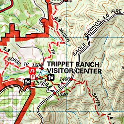
Shaver Lake is located in the Central Sierra, on the west side of the range, way up above Fresno, CA. Numerous alpine lakes and wilderness trailheads can be accessed via Highway 168 and the side route of Dinkey Creek Road. They even have a Sequoia Grove up here!

Shaver Lake Map, Huntington Lake, Sierra National Forest maps from National Geographic. 4×4 routes around the central Sierra Nevada. Dinkey Lakes Wilderness, Kaiser Wilderness, Rancheria Falls, Black Point, Lewis Creek Tamarack Creek, Red Mountain, Red Lake, Sierra Vista Scenic Byway, Sierra Heritage Scenic Byway. Hiking, mountain biking, horse back & OHV trails. Lake trails, wilderness trail, loop trail, lake campgrounds. Two sides, waterproof & tear resistant. National Geographic Map #810; Scale 1:63,360 / 1 inch = 1 mile. ISBN# 9781566952422

Shaver Lake Map

Shaver lake map

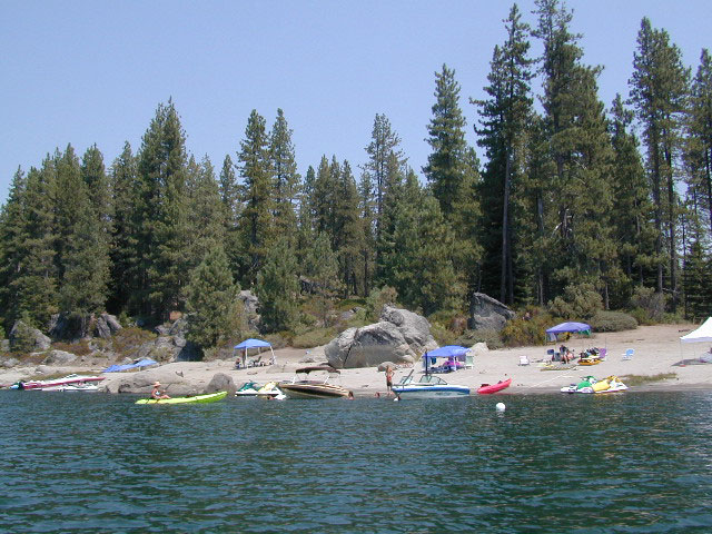
Shaver Beaches

Shaver Lake Map

see also –
Dinkey Lakes Maps
Kaiser Wilderness Map
Mono Divide Trail Map
Sierra National Forest Maps
Sierra Forest Topo Atlas
Shaver Lake Map

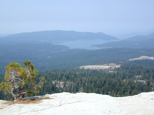
Bald Mountain Views

Wildfire has recently ravaged about half of this National Forest, from Shaver Lake to Mammoth Pool Reservoir; Kaiser Wilderness, San Joaquin River, Huntington Lake, all the way out to Lake Edison. Many areas could be closed to logging and fire cleanup. Check with USFS for specifics.
Creek Fire 2020

nearby locations –4x4 maps

Mount Baldy Map

Mount Baldy Trail Map, Los Angeles

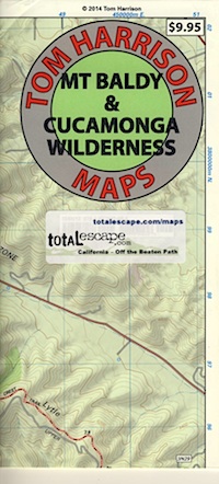
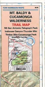
Mt Baldy & Cucamonga Wilderness Map
by Tom Harrison Maps

Baldy Map / San Gabriel Mountains Map / Cucamonga Wilderness

2022 currently unavailable on Amazon

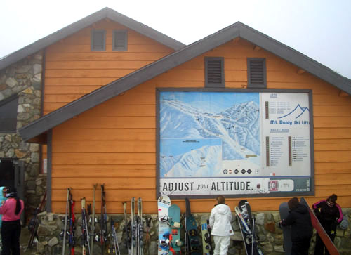
Cucamonga Wilderness Hiking Map, Angeles National Forest, San Gabriel Forests, Lytle Creek Routes, Mount Baldy Ski Area, West Baldy, Devils Backbone, Mt. Baldy Trails, Manker Flats, Stockton Flats.

Mount Baldy Map

Previous Trail Map

Mount Baldy Map

OLD EDITION

Mount Baldy Map

photo by Chris DiNenna

see also –

Angeles Crest Map by NatGeo
Angeles National Forest Map
Angeles Forest Atlas
PCT Map #2 Angeles
San Gabriel Mountains Map

Topanga Canyon Map

Topanga Trail Map
Topanga Canyon Map

Topanga Canyon Map

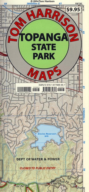
Topanga State Park Map
Tom Harrison

Topanga Canyon MapTopanga Canyon Map, Topanga State Park Map, Topanga Hiking Maps, Backpacking Topanga, Malibu Maps; Will Rogers Park, Tuna Canyon, Biking Trail, Red Rock Canyon Malibu, Temescal Canyon, Temescal Gateway Hike. Durable, waterproof plastic map; Folded. Map Scale: 31.7K; ISBN# 9781877689857

BACKBONE TRAIL
on Santa Monica Mountains NRA

Los Angeles County

Topanga Canyon Road is California State Route 27 (Hwy 27) a paved highway connecting the San Fernando Valley to the Malibu coast. Hiking and mountain biking trails, waterfalls, hidden restaurants and a large residential population in these hills.

horse trail maps

Topanga Canyon
Topanga Hiking Topo Map

  • hike
  • horseback
  • mountain bike
  • picnic

Topanga Canyon Map

nearby towns:

Topanga Canyon Map

Topanga State Park

Covering 11,000 acres, with 36 miles of trails and unimproved roads, the boundaries stretch from Topanga Canyon to Pacific Palisades and Mullholland Drive. There are more than 60 trail entrances. Topanga State Park is the largest park in the Santa Monica Mountains.

Topanga State Park was opened to the public in 1974. Land includes more than 7,500 acres from the original Rancho San Vicente y Santa Monica land grant. Additional acreage has been added in the form of 1,500 acres from the Palisades Highlands and another 1,600 acres added in 2002, near the mouth of the Topanga Creek

The word Topanga is an old Shoshonean language word meaning ‘above’ and referring to the canyon settlement being above the flood waters of Topanga Creek. The Tongva and Chumash peoples inhabited the area for thousands of years

california indpendent

see also – 

Santa Monica Mountains Map
Malibu Creek Map
Zuma Canyon Map
Point Mugu Map
Channel Islands Map
L A Hiking Maps

Orange County Trail Maps

Orange County Trail Maps

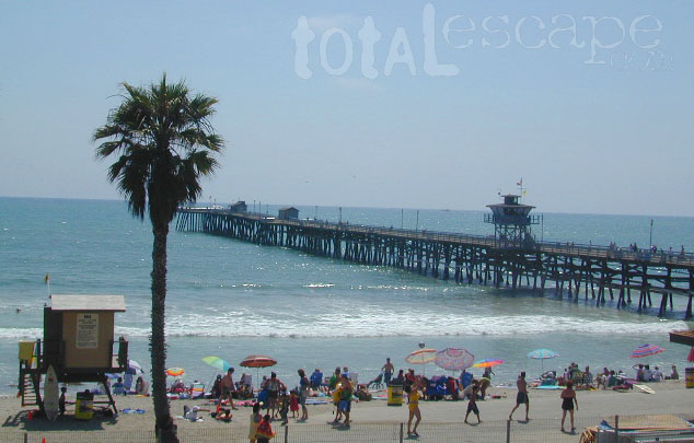
San Clemente Pier & Beach

Orange County is located south of Los Angeles and is the third most populated county in California. Beaches, bike trails and coastal mountains.

beachesHome to Disneyland, the O.C. was the orange growing region of Southern California – until the developers took over, turning it into shopping, freeways and large residential neighborhoods we know today. The Orange County beaches are by far the hot spots, with places like San Juan Cap, Dana Point & Laguna Beach. Lots of surf memorabilia & surf culture.

Trains serve the coastal cities daily, so no need to sit in L.A. traffic.

train

Orange County Trail Maps

For those seeking campgrounds, hikes, or mountain biking trails, Ortega Highway 74 will lead inland to oak chaparral mountains w/ wilderness. Off roading trails can be found at Wild-O-mar, overlooking Lake Elsinore.

trail map

Orange County Trail Maps
OC MAPS:

Franko Maps is the company that makes colorful, waterproof, Orange County Maps.

BIKE TRAILS MAPhikers map

Orange County Trail Maps

SURFING MAP OC
Orange County Trail Maps

DIVE GUIDE
Orange County Trail Maps

SOUTH COAST WILDERNESS
Orange County Trail Maps

Orange County Maps

see also –

Orange County Trail Maps

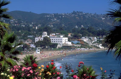
Laguna Beach, California