Sequoia Topographic Atlas

Sequoia Forest Topo Atlas Map is book for the outdoor explorer. Featuring the Kern River Canyon, Lake Isabella, Western Divide Highway, Giant Sequoia, including the Southern Sierra Nevada Mountains. Most importantly the popular Giant Sequoia Groves on the Western Divide, plus Big Meadow Road and the gorgeous gem of Hume Lake
Southern Sierra Nevada Map, Sequoia Hiking Trails, Kern River to the Sequoia National Park and Kings Canyon National Park boundaries. Includes the Giant Sequoia National Monument, Kern and Tulare County.
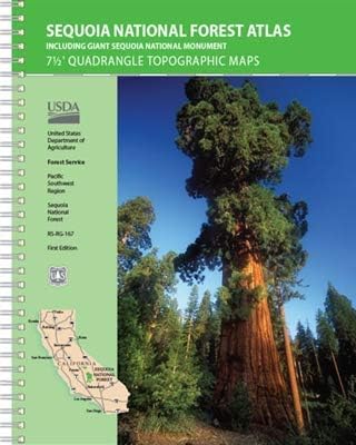
Sequoia Forest Topo Atlas USDA
The SEQUOIA atlas is a spiral bound book – a collection of all the quads. (7.5 minute topographical maps, of all of Sequoia National Forest) This book map has contour lines, mountain peaks, streams, lakes, hiking trails & back roads. This map book is perfect for all kinds of recreational needs. Printed in 2019.
 Areas include: Southern Sierra, Kern Canyon, Hwy. 178, Walker Pass, Kernville, Lake Isabella, Sugarloaf, Domelands, Kern River, Kennedy Mdws, Sherman’s Pass, Monache Mdws, South Sierras, Rincon, Canebrake, Dome Rock, The Needles, Western Divide, Giant Sequoia National Monument, Ponderosa, Springville, Tule River, Mountain Home State Forest, Jennie Lakes Wilderness, Golden Trout Wilderness. It also features the surrounding areas to the Kings Canyon & Sequoia National Parks, plus it has the Kern River Canyon with notable hot springs such as – Miracle, Remington, Democrat, and the historic California Hot Springs.

 Sequoia region towns:
- KERNVILLE
- LAKE ISABELLA, CA
- FAIRVIEW, CA
- KENNEDY MEADOWS
- PONDEROSA
- CAMP NELSON
- SPRINGVILLE
- SEQUOIA NF
- MOUNTAIN HOME SF
- THREE RIVERS CA
- MINERAL KING, CA
- SEQUOIA NP
- KINGS CANYON


Sequoia National Forest QUADS:
from south to north –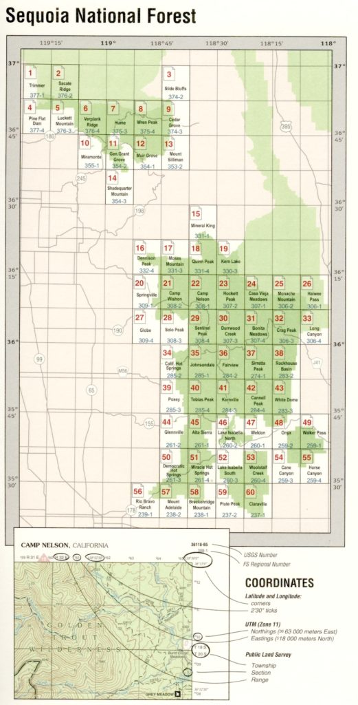
- Claraville
- Piute Peak
- Breckenridge Mountain
- Mount Adelaide
- Rio Bravo Ranch
- Horse Canyon
- Cane Canyon
- Woolstalf Creek
- Lake Isabella South
- Miracle Hot Springs
- Democrat Hot Springs
- Walker Pass
- Onyx
- Weldon
- Lake Isabella North
- Alta Sierra
- Glennville
- White Dome
- Cannell Peak
- Kernville
- Tobias Peak
- Posey
- Rockhouse Basin
- Siretta Peak
- Fairview
- Johnsondale
- California Hot Springs
- Long Canyon
- Crag Peak
- Bonita Meadows
- Durrwood Creek
- Sentinel Peak
- Solo Peak
- Globe
- Haiwee Pass
- Monache Mountain
- Casa Vieja Meadows
- Hockett Peak
- Camp Nelson
- Camp Wishon
- Springville
- Kern Lake
- Quinn Peak
- Moses Mountain
- Dennison Peak
- Mineral King
- Shadequarter Mountain
- Mount Stillman
- Muir Grove
- General Grant Grove
- Miramonte
- Cedar Grove
- Wren Peak
- Hume
- Verplank Ridge
- Luckett Mountain
- Pine Flat Dam
- Slide Bluffs
- Sacate Ridge
- Trimmer

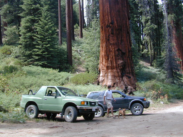
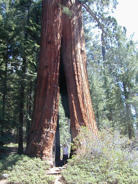
Hidden Sequoia Groves can be found on the back roads.

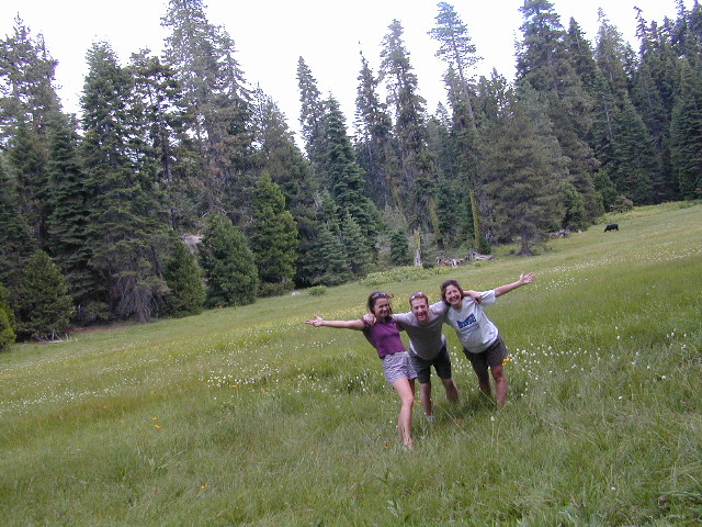
Meadows, mountains and much more

 The INYO atlas, is a spiral bound book – a collection of all the quads. (7.5 minute topographical maps, of all of




 PNW, Pacific Northwest


