Pine Creek Wilderness and Hauser Wilderness
San Diego Backcountry Backpacking Trails
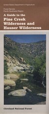
Pine Creek / Hauser Wilderness Map USDA
Pine Creek Trail Map / Pine Creek Trailhead
Pine Creek / Hauser Wilderness
( Part of Cleveland NF )
San Diego East County, Interstate 8. Best San Diego Back Roads & Hiking Trails. Laguna mountains, Sunrise Highway Campgrounds, Mountain Bike Trails San Diego. Backpacking Pine Creek, Descanso, Dulzura, Pine Valley, Alpine, San Diego County East. 1″ to mile; Printed on paper. Perfect for a day hike reference or extended backpacking adventures.


Above Interstate 8
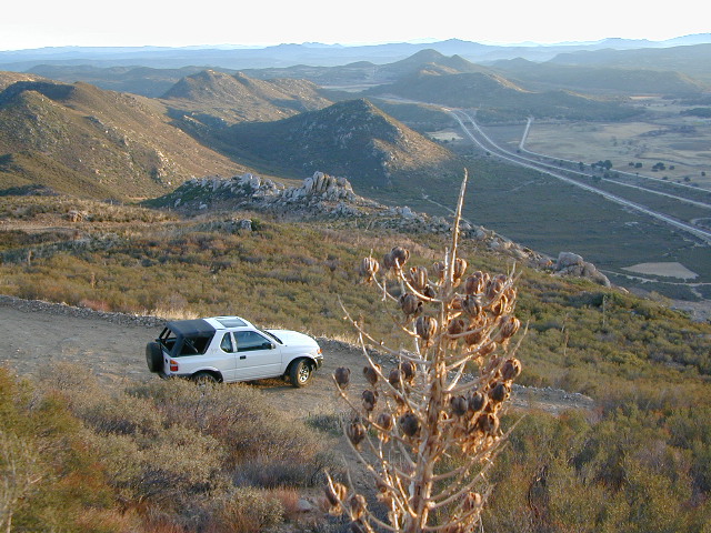
The Pine Creek Wilderness is a sloping mountainous area of 13,261 acres, ranging from 2000′ elevation in the south to 4000′ in the north. It is situated entirely in California, bordered by the Hauser Wilderness to the south. Vegetation consists primarily of chaparral, dominated by chamise and scrub oak, with oak woodland along stream bottoms. Wilderness permits are required for both day and overnight use.
Several trails provide access, and receive only light human use. The Espinosa Trail leaves the Horsethief Trailhead on the west side of the Wilderness and switchbacks down into Horsethief Canyon taking you to the waters of Pine Creek. From the pools and falls of Pine Creek the Espinosa Trail continues to the junction with the Secret Canyon Trail, a north / south trail that leads 13 miles to the northern boundary of the Wilderness.
see also – 
Anza Borrego Desert State Park
Laguna Mountains Map
San Diego Backcountry Map
San Diego Trail Map


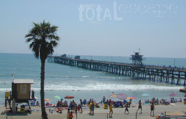
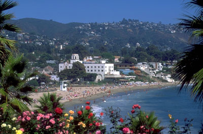
 Home to Disneyland, the O.C. was the orange growing region of Southern California – until the developers took over, turning it into shopping, freeways and large residential neighborhoods we know today. The Orange County beaches are by far the hot spots, with places like San Juan Cap, Dana Point & Laguna Beach. Lots of surf memorabilia & surf culture.


