Los Padres Map North

Los Padres Big SurLos Padres National Forest Map: North

NFS – USDA – U.S. Forest Service

Monterey District, Big Sur Coast

Big Sur Map, Central Coast Camping, Los Padres Forest
Los Padres Forest

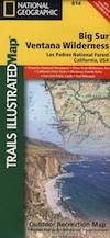
Los Padres National Forest Map: North – Monterey /Santa Lucia District Quality USDA maps created for the National Forest Service. Central Coast California, San Louis Obispo, Coastal Range, Big Sur Coast, Ventana Wilderness. Waterproof Map: Ranger – NFS issued map. GPS: Longitude & Latitude; Rivers, Creeks, Peaks, Elevations, 4WD & every dirt BackRoad, Hot Springs, Equestrian Areas, all Campgrounds, Hiking Trails & BackPacking Trailheads.

Areas include: Central Coast California, Monterey County, San Louis Obispo County, Coastal Range, Coast Wine Country, Big Sur Coast, Silver Peak Wilderness, Ventana Wilderness, Lucia Wilderness, Garcia Wilderness, San Rafeal Wilderness, San Louis Obispo, Cuyama, Plaskett Creek, Fort Hunter Liggett, Prewitt Ridge, Nacimiento, Figueroa Mountain Recreation Area Usually only found at Ranger Stations – Hard to find maps. Size: 36″x 40″ overall / 4″x9″ folded; Map scale = 1:126,720. Printed on plastic map paper. ISBN# 9781593514228

Los Padres Big Sur

Big Sur Coast and San Luis Obispo – Central Coast Camping: Los Padres National Forest

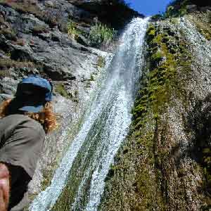
nearby towns:limekiln falls

big sur map

Alternate Map for Big Sur Coast

see also – 

Los Padres Map East
Los Padres Map West
Los Padres Map South
Big Sur Books
Big Sur Maps
Ventana Wilderness Map
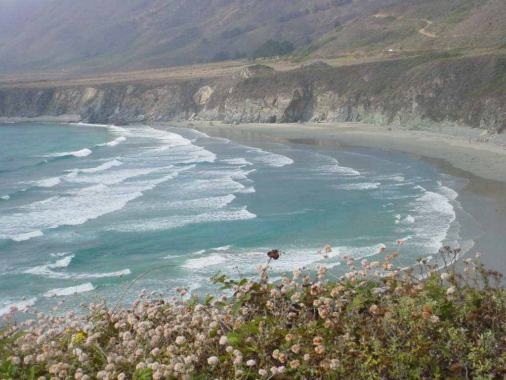
Sand Dollar Cove

Sand Dollar Cove (photo by Vimlesh)
 

Los Padres Map South

Los Padres National Forest Map: South

NFS – USDA – U.S. Forest Service

Los Padres Forest Map, Gorman, Frazier Park, Mt Pinos, Sespe Wilderness, Mount Pinos Recreation Area, Ojai & Santa Barbara Ranger Districts. Waterproof Map; water & tear resistant. GPS: Longitude & Latitude; Rivers, Creeks, Peaks, Elevations, 4WD & every dirt BackRoad, Hot Springs, Equestrian Areas, all Campgrounds, Hiking Trails & BackPacking Trailheads.

Areas Include: Central Coast California, Santa Barbara, Frazier Park, Ojai, Sespe Wilderness, Hungry Valley Park. Ranger Map – NFS issued map. GPS: Longitude & Latitude; Rivers, Creeks, Peaks, Elevations, 4WD & every dirt BackRoad, Hot Springs, Equestrian Areas, all Campgrounds, Hiking Trails & BackPacking Trailheads. Areas include: Central Coast California, Ventura County, Santa Barbara County, Goleta, Ojai, Frazier Park, Lockwood Valley, Sespe Wilderness, Camp Scheideck, Reyes Peak & Reyes Creek, Condor Sanctuary, Santa Ynez Mountains, San Rafael Wilderness, Chumash Wilderness, Dick Smith Wilderness, Hungry Valley State Vehicular Recreation Area, Jameson Lake, Pyramid Lake, Ozena, Sespe Hot Springs.

Map Scale = 1:126,720. Size: 27″x 48″ overall / 4″x9″ folded; Printed on plastic waterproof. ISBN# 9781593515195

Camping Piru Creek

Los Padres National Forest

4x4 mapsExcellent mountain biking trails on Mount Pinos. Chumash Wilderness is accessible via Quatal Canyon, a long red dirt road with abundant scenery. Sespe Hot Springs requires a very long hike in, best done as an overnight backpacking trip. Camp O Alto is the ridge top campground at Mount Able.  Miller Jeep Trail 4×4 Route, is located off of Lockwood Valley Rd. 4×4 Camping on Tecuya Mountain near Cuddy Valley. Free Campgrounds can be found in Los Padres.

pmcfromtop

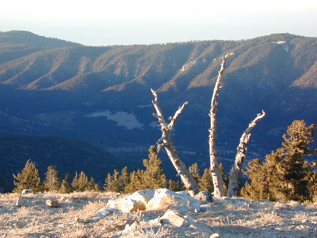
Pine Mountain Club, as seen from top of Mount Pinos, CA

nearby towns:

wildflowers

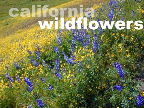
Los Padres is wildflower country

see also – NatGeo Los Padres East Map

Santa Barbara Books

Santa Barbara Books

Figueroa Mountain of the Santa Barbara Backcountry

Find Los Padres National Forest Map

Find Sespe Wilderness Trail Map

Find Channel Island National Park Map

Books on the Santa Barbara Coast & the Santa Barbara Mountains

Santa Barbara Books


Santa Barbara Books

Peppermint Lupine @ Figueroa Mountain Road

Santa Barbara is a coastal city in Santa Barbara County, California, of which it is also the county seat. Situated on a south-facing section of coastline, the longest such section on the West Coast of the United States, the city lies between the steeply rising Santa Ynez Mountains and the Pacific Ocean.

In addition to being a popular tourist and resort destination, the city has a diverse economy that includes a large service sector, education, technology, health care, finance, agriculture, manufacturing, and local government.

The city is served by Santa Barbara Airport and train service is provided by Amtrak, which operates the Pacific Surfliner, which runs from San Diego to San Luis Obispo. The Santa Barbara area is connected via U.S. Highway 101 to Los Angeles (100 miles to the southeast) and San Francisco (325 miles to the northwest).

Behind the city, in and beyond the Santa Ynez Mountains, is the Los Padres National Forest, which contains several remote wilderness areas. Channel Islands National Park and Channel Islands National Marine Sanctuary are located approximately 20 miles offshore.

Santa Barbara Mountains:

Santa Barbara Books

Los Padres Map West

Los Padres NF West
NatGeo Map #813

Los Padres Map WestNational Geographic makes the Trails Illustrated Map for the west side of Los Padres NF. The Santa Barbara Mountains, Santa Maria, Santa Lucia Mountains and San Luis Obispo area.
Los Padres Map WestArroyo Grande, Cuyama River, Garcia Wilderness, Goleta, Grover Beach, Irish Hills, La Panza Range, Lake Cachuma, Los Padres National Forest, Machesna Mountain Wilderness, Point San Luis, Purisima Hills, San Luis Obispo, San Luis Obispo Bay, San Rafael Mountains, San Rafael Wilderness, Santa Lucia Wilderness, Santa Margarita Lake, Sierra Madre Mountains, Sisquoc River, Timber Peak. Gaviota State Park; Pismo Beach, Refugio SB and El Capitan State Beaches; Lake Cachuma; Chumash Painted Cave State Historic Park; Sisquoc Wild and Scenic River; Oceano Dunes State Vehicular Recreation Area; and Santa Margarita Lake Regional Park.

Los Padres Map West

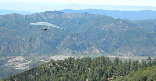
Launch Spot @ Pine Mountain Reyes Peak

4x4 mapsExcellent hiking and wildflowers at Figueroa Mountain. 4×4 trails and camping at Rock Front Ranch. Santa Lucia off Hwy 166, has abundant dirt back roads and a long hike to indian petroglyphs. Pozo Saloon is located in the San Luis Obispo backcountry.  Gaviota Hot Springs is a short hike near US Hwy 101. Small Campgrounds can be found in Los Padres.

camp map

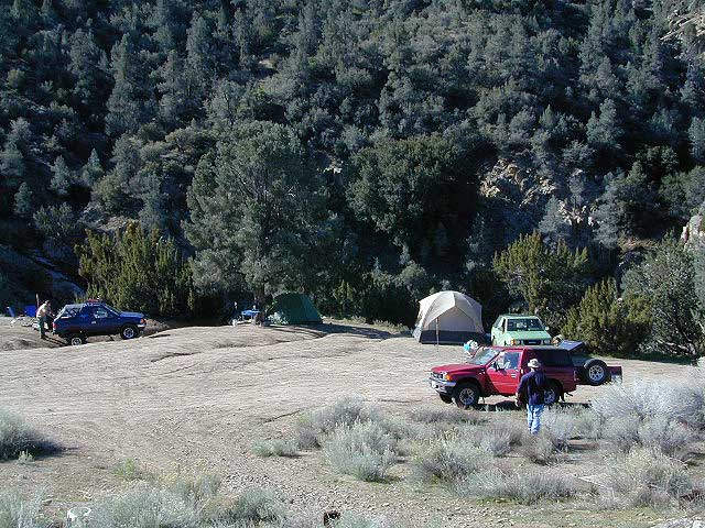
Camping near Reyes Peak @ Pine Mountain, Hwy 33

Los Padres Map West

see also – 

Los Padres Map East
Los Padres Forest Atlas
Dick Smith Wilderness Map
Sespe Wilderness Map