Sequoia Kings Recreation Map

Sequoia Kings Recreation Map
Sequoia & Kings Canyon National Parks
Tom Harrison Maps

Sequoia Kings Recreation Map

Sequoia Recreation Map Backpacking Trails. Includes both Sequoia & Kings Canyon National Parks, CA Recreation Map. Areas include: Lodgepole Campground, Mineral King Canyon, Giant Forests, Grant Grove Sequoia, Ash Mountain, Silver City California, Crystal Cave Sequoia, Mount Whitney. Durable, waterproof plastic map; Folded. Map Scale: 125K; ISBN# 9781877689499

avenza mapsdownload digital version of this map –
Sequoia & Kings Canyon NP Map

Sequoia Kings Recreation Map

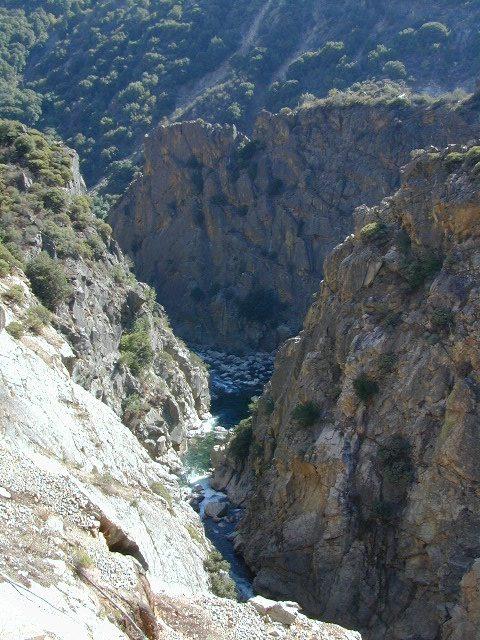
Kings River Gorge

Sequoia Kings Recreation Map

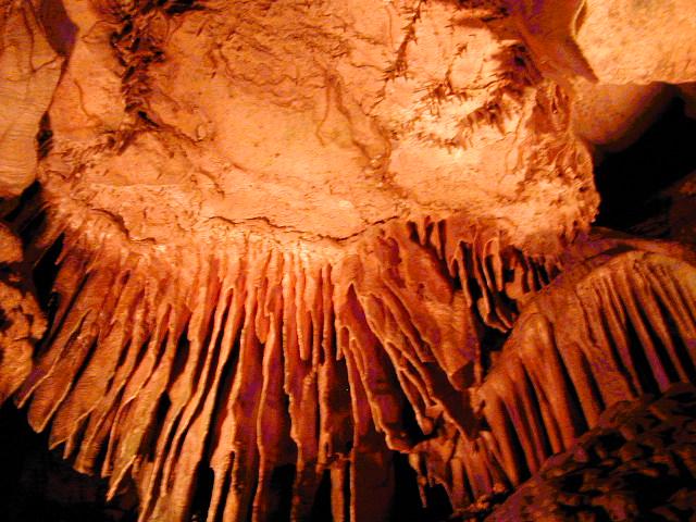
Crystal Cave, Sequoia NP

see also –

Kings Canyon Highcountry
Mineral King Canyon Map
Sequoia Kings NP NatGeo Map
Sequoia NF Map USDA

National Parks

Two National Parks, side by side

Kings Canyon High Country Map

Kings Canyon Topo Map

Kings Canyon Wilderness Map

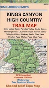
Tom Harrison Trail Map: Kings Canyon High Country Trail Map. Areas include: Rae Lakes, Paradise Valley, Cedar Grove, Kearsarge Pass, LeConte Canyon, Crown Valley, Tehipite Valley, Blackcap Basin; John Muir PCT Wilderness Map, Pacific Crest Trail, US Hwy 395 Eastern Sierra Nevada; Backpacking High Sierra, Hiking Backpacking Kings Canyon National Park.

Durable, waterproof plastic map; Folded. Map Scale: 63K; ISBN# 9781877689451

Kings Canyon Wilderness Map

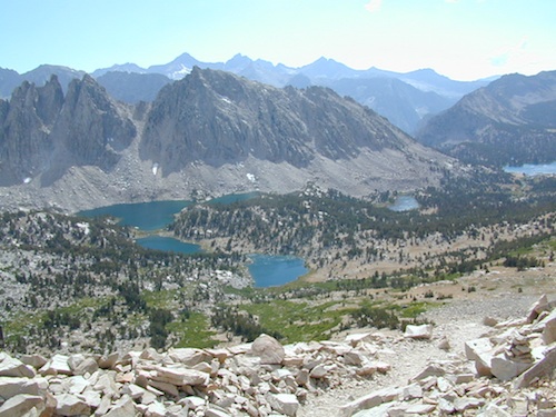
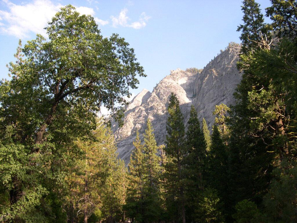
Granite peaks around Kearsarge Pass are simply awesome

Kings Canyon Wilderness Trail Maps

Kings Canyon Wilderness Map

avenza mapsdownload digital version of this map –
Kings Canyon High Country Map

fishing map

Kings Canyon Wilderness Map

OLD EDITION

Kings Canyon National Park NPS

Kings Canyon Wilderness Map

see also –
Kearsarge Pass Trail Map
Sequoia Kings NP Map by NatGeo
Sequoia Kings Map by Tom Harrison
JMT – John Muir Wilderness Maps
Mineral King Topo Map

nearby destinations –Kings Canyon Wilderness Map

"<yoastmark

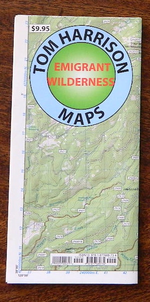
Emigrant Wilderness Trail Map

Emigrant Wilderness Trail Map
Tom Harrison Maps

Tom Harrison Trail Map: Emigrant Wilderness Trail Map, Sonora Pass Map, Sierra Nevada; Kennedy Meadows, CA. Pinecrest Lake, Dodge Ridge, Relief Reservoir, Leavitt Lake, Leavitt Meadows, The Dardanelles, Eagle Meadows; Sonora River fishing, Dardanelle CA. Durable, waterproof plastic map; Folded. Map Scale: 63.4K; ISBN# 9780989457910
emigrant

previous map

Emigrant Wilderness Map

Central Sierra Backpacking Trails:

Sonora Pass to Yosemite Highcountry

Backcountry access, hiking trails, horseback riding, cross country skiing, deep snow (over half the year), alpine lakes, granite peaks, creek canyon forests.

From Cherry Lake (4700′), Lake Eleanore (4657′) or Hetch Hetchy (3900′), up river, northward, wilderness routes up hill to Sonora Pass. Cherry Creek, Kendrick Creek, Bourland Creek, Lily Creek, Bell Creek, Herring Creek.

Pinecrest Lake (5616′), Emigrant Lake (8827′), Buck Lakes (8315′), Huckleberry Lake. Pacific Crest Trail (PCT) at Emigrant Pass, Grizzly Peak (10,365′), Sonora Pass (9625′) Highway 108

Backpacking trailheads are located at these places:

Cherry Lake @ Kibbie RidgeEmigrant Wilderness Trail Map

near Pinecrest Lake –

  • Bourland Creek @ Route #3N20Y
  • Lily Creek @ Route #3N28
  • Bell Meadow @ Route #4N25
  • Gianelli Cabin & Crabtree Route #4N34 (behind Donner Ridge Ski)
  • Three Meadows @ Route #4N12

near Dardanelle – 

  • Donnell Vista Point
  • Columns of the Giants
  • Seven Pines
  • Kennedy Meadows

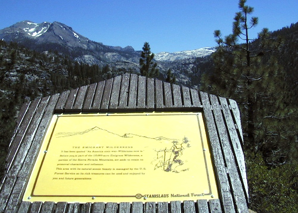
Hoover Wilderness located directly to the east of Emigrant Wilderness.

Stanislaus National Forest

Yosemite National Park 

nearby towns:Emigrant Wilderness Trail Map

"<yoastmark

see also –

Hoover Wilderness Map

Yosemite Maps by National Geographic
Yosemite Topo Maps by Tom Harrison
Stanislaus National Forest Map
Stanislaus Forest Atlas
 

PCT Map #4 Mid Sierra

USDA PCT Map 4
PCT Map #4 Central Sierra Nevada Mountains

Le Conte to Lake Tahoe

Pacific Crest Trail National Scenic Trail
PCT – Hiking Map 4

USDA PCT Map 4

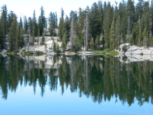
ALPINE LAKES, everywhere!

Sierra Nevada Mountains, spanning from Le Conte Canyon to Barker Pass, on the west side of Lake Tahoe. Kings Canyon National Park northward to Lake Tahoe. Covers most of the High Sierra (N of Whitney) and so much more; from Bishop Pass, Mammoth Lakes, Yosemite National Park, Sonora Pass, Emigrant Wilderness, Ebbetts Pass, Carson Pass, and then overlook the massive mountain lake known as Tahoe. USDA, Large fold out map, durable waterproof paper w/ sturdy cardboard cover. ISBN# 9781593514716

USDA PCT Map 4
USDA PCT Map 4

LOCALS TIP: If you must hike only ONE SECTION of the PCT, then this one stretch, LE CONTE to LAKE TAHOE, is by far the best for high altitude beauty.  Granite peaks, passes, total alpine lake bliss, with incredible mountain scenery. When you must limit your big adventure trek, due to time constraints, this portion is some of the most beautiful high elevation terrain in the whole darn nation. Seriously. Better than a movie!

Services like grocery, laundromats, hotels, restaurants, post office, available in SLT (South Lake Tahoe). Postal, food & lodging can be had in numerous locations along certain high country routes – like Vermillion Resort @ Lake Edison. The PCT guide books give good descriptions of these handy trailheads with services, in way more detail.

USDA PCT Map 4

Yosemite Granite

see also –
Kearsarge Pass Trail Map
Kings Canyon Highcountry Map
Sequoia Kings NP Maps
Mono Divide Highcountry
Mammoth & Mono Map by NatGeo
Mono Lake Map
Yosemite Maps by NatGeo
Yosemite Maps by Tom Harrison
Emigrant Wilderness Map
Toiyabe National Forest Map
Hoover Wilderness Map
Lake Tahoe Maps

USDA PCT Map 4

Carson Iceberg Wilderness