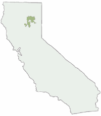
Lassen National Forest Map

Lassen NF Map USDA

USDA Lassen Map

lassen mapsLassen National Forest Map includes all of Lassen Volcanic National Park too.

NFS – USDA – U.S. Forest Service – USGS

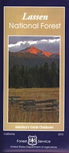
Lassen National Forest
Lassen National Park
Lassen Camping

Lassen National Forest Map: Lassen National Forest surrounds Lassen Volcanic National Park. Quality USDA maps, National Forest Service. Lassen National Park, Lake Almanor, Susanville, Fall River Mills, Burney Falls, Juniper Lake, Drakesbad Ranch, Bucks Lake Wilderness Ranger Map – NFS issued map. GPS: Longitude & Latitude; Rivers, Creeks, Peaks, Elevations, 4WD and every dirt BackRoad, Hot Springs, Equestrian Areas, all Campgrounds, Hiking Trails and BackPacking Trailheads.

Areas include: Northern California, Butte County, Tehama County, Shasta County, Plumas County, Lassen County, Burney, Ahjumawi Lava Springs State Park, Thousand Lakes Wilderness, Manzanita Lake, Mineral, Shingletown, Ponderosa Sky Ranch, Hwy. 89, Hwy. 36, Lassen Volcanic Peak, Stover Mountain, as well as the Feather River.
Lassen National Forest

PREVIOUS VERSION

Lassen National Forest Maps

Lassen Map USDA

OLDER VERSION

Lassen National Forest Map

REALLY OLD EDITION

Lassen National Forest Map

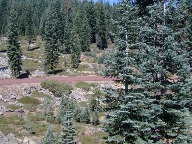
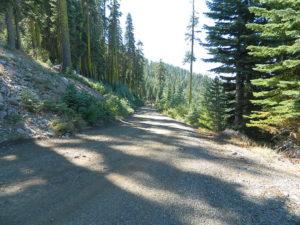
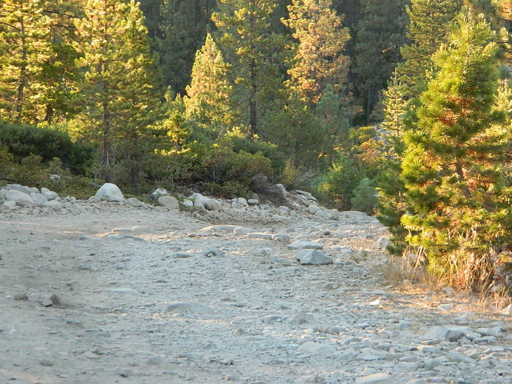
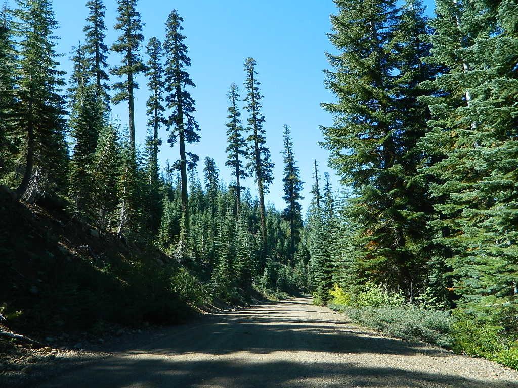
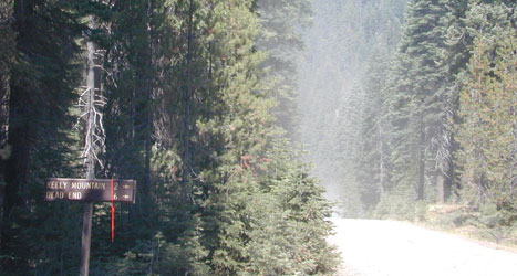
Many graded dirt roads lead out to trailheads, secluded lakes, hidden campsites.

As of 2019, National Geographic also makes a waterproof map for the Lassen Peak region. Over 150 miles of trails including 17 miles of the Pacific Crest Trail and a portion of the California National Historic Trail are clearly marked and include approximate mileage between intersections and trail use designations. A chart of campgrounds, their elevations, the number of sites, and the facilities available at each will help you choose the one that’s right for you.
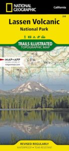
NatGeo Lassen MapNATGEO MAP: Interpretive information regarding the area’s unique geology and descriptions of the important hydrothermal areas are also included. The map base shows contour lines and elevations for summits, passes and many lakes. A variety of recreation features are noted as well, including campgrounds, trailheads, picnic areas, boat launches, cabins, and scenic viewpoints.
Lassen National Forest Maps

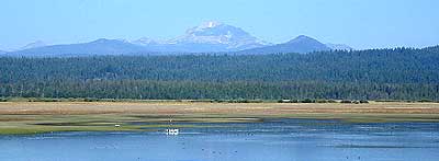
Lassen Peak from Lake Almanor

Mount Lassen Area Digital Maps

digital maps

apps/maps:
download digital topos & maps

California Deer Hunting Zone C4 Map
California Deer Hunting Zone X4 Map
California Deer Hunting Zone X5b Map
Chester California Topo Map USGS (free)
Childs Meadows Topo Map USGS (free)
Fredonyer Pass Topo Map USGS (free)
Hat Creek Headwaters Trail Map (free)
Lassen National Forest Visitor Map USFS
Lassen Volcanic National Park NPS Map (free)
Lassen MVUM – OHV Map 1b (free)
Lassen MVUM – OHV Map 2b (free)
Lassen MVUM – OHV Map 3a (free)
Lassen MVUM – OHV Map 3b (free)
Lassen Peak Topo Map USGS (free)
Lassen Peak Trail Topo Map (free)
Nat Geo 268 – Lassen Volcanic National Park Map
Susanville Ranch Park Trail Map (free)
Susanville Topographic Map USGS (free)
Westwood East, USGS Topo Map (free)
Westwood West, USGS Topo Map (free)
Remote Roads

Graded Dirt Roads

Lassen National Forest

bikepath susanville

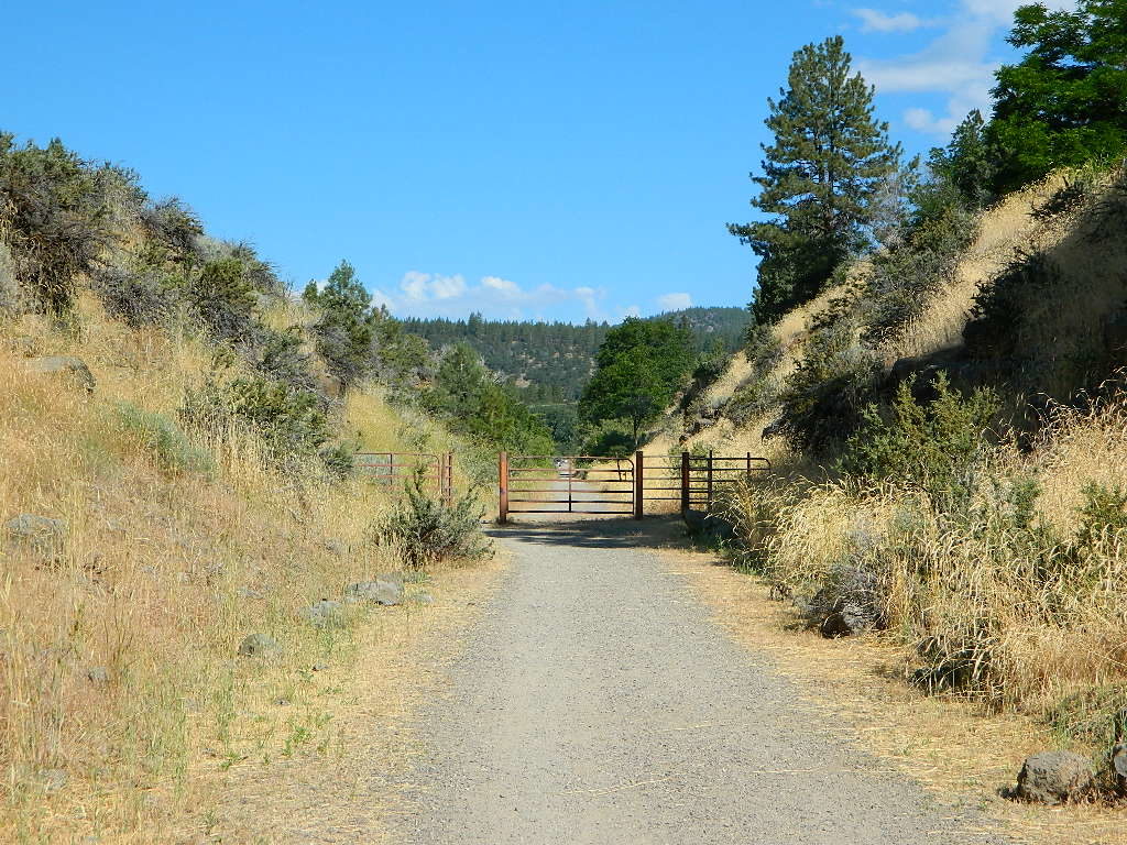
Bizz Johnson Trail, Susanville

loghomehistoric

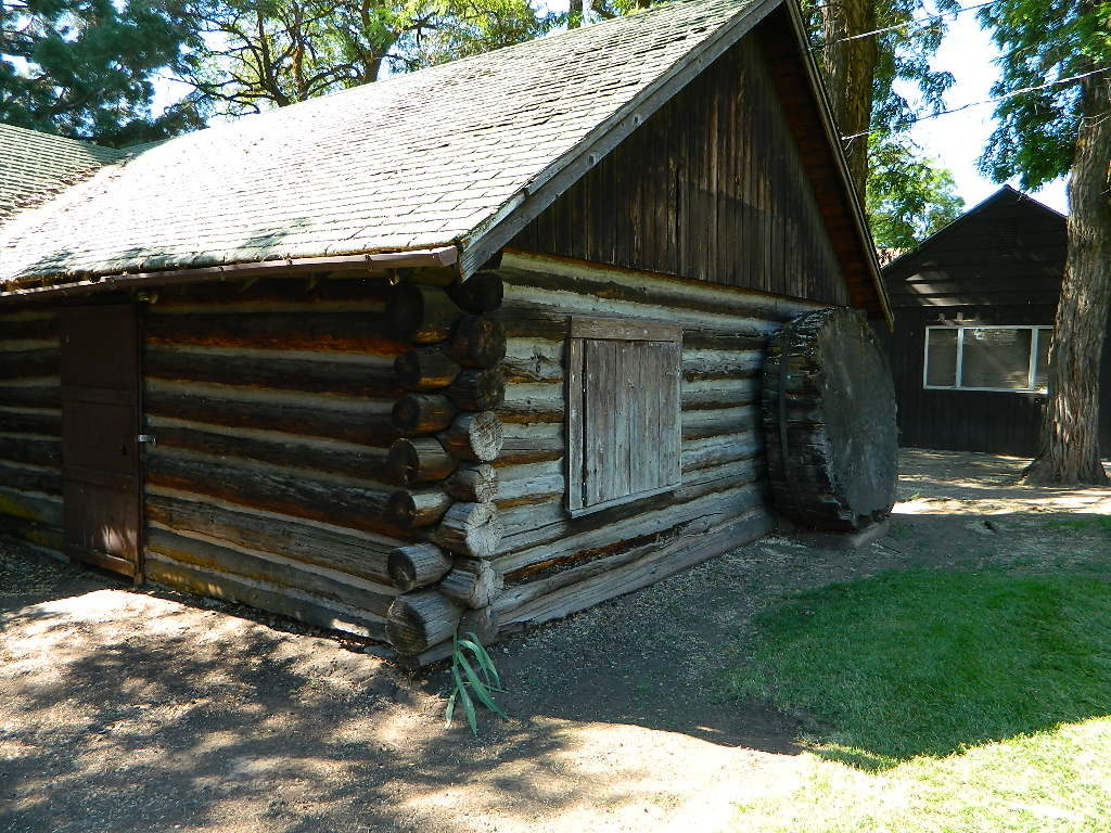
Historic Log Home: Downtown Susanville, CA

hiker

Sulfur Steam Lassen Park

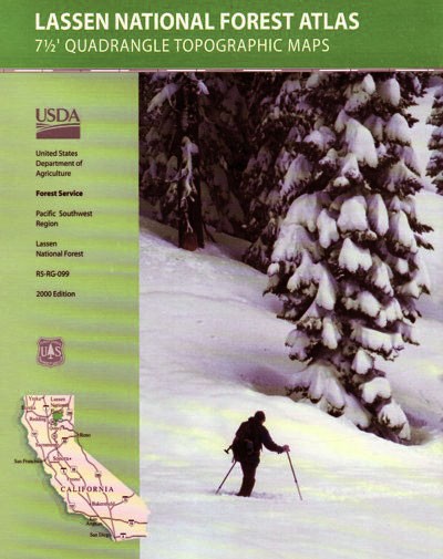
Seeking a detailed topographic maps of every square mile of Lassen territory? Then the Lassen Forest Topo Atlas is a book to discover.

lassen atlas

Lassen Topographic Atlas


Lassen National Forest Map

Eagle Lake, N of Susanville

4×4 Guide Tahoe NF

4×4 Tahoe Trail Maps
Off Roading Routes

4x4 maps4×4 Tahoe Trail Maps: Explore the 4WD (four wheel drive) dirt and gravel roads inside the Lake Tahoe region. Please follow the links listed at the bottom of this page for more Tahoe Maps.
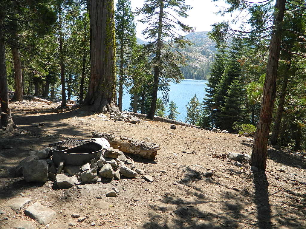
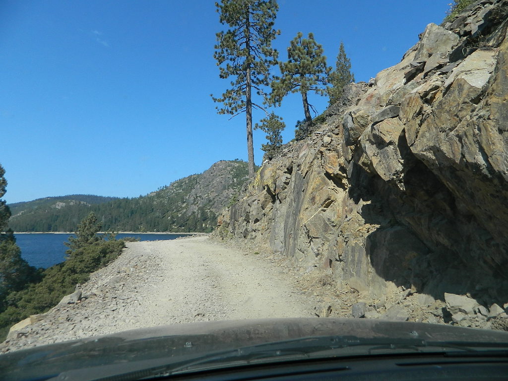
Camping Lake Map

Sawmill Lake, Tahoe NF – N of Donner Pass I-80


4Wheeler’s Guide to Trails of the Tahoe National Forest, CA; Lake Tahoe to the North Yuba River

4Wheeler’s Guide to the Rubicon Trail

2024: BOTH THESE MAPS ABOVE NOW OUTTA PRINT

driftwood

California off roading with 4×4 Tahoe Trail Maps. Topographical hard copy maps show contour lines, routes, trailheads, campgrounds, alpine lakes, mountain peaks, wilderness boundaries.  Maps for use by nomad campers, mountain bikers, dirt bikers, jeeps, SUVs, ATVs, and all off roading rigs. Overland camping options in the high elevation Sierra Nevada mountains.

see also –dirt bikes trail map

Lake Tahoe Basin Topo Atlas

Tahoe National Forest Map USDA

Lake Tahoe Basin – Recreation @ Lake Tahoe

Tahoe Rim Trail Topo Map by Tom Harrison

USDA Lakes Basin, Sierra Buttes Map

bowman cliff shoreline

Bowman Lake, narrow cliff shoreline

Tahoe Forest Maps
by National Geographic

Tahoe East – Sierra Buttes & Donner Passfishing maps tahoe

Tahoe West – Yuba River & American River

sierra buttes maps

Back Roads @ N Yuba, Lakes Basin

Lakes Basin Recreation Area: Sierra Buttes
GOLD LAKE HWY. North Sierra Nevada – where granite spires touch the sky and river canyons run deep. Alpine lakes are covered in snow half the year w/ Gold Lake being the largest.

Totally worth a weekend visit! Spending a full week here is ideal. Summer destination for cabins, camping, hiking, fishing, waterfalls, and even off road routes; Winter offers snow recreation: cross country ski, snow shoe trails, and snow mobile access.

forest roads map tahoe

Tire Tools: roadside assistance
doesn’t do dirt roads

4x4 Patch Kit ARB

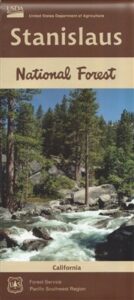
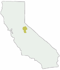
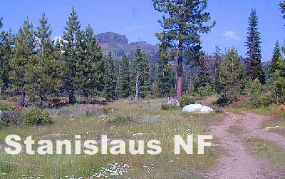
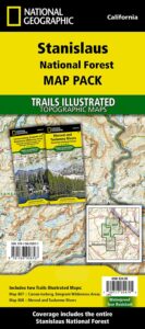
Stanislaus National Forest Map

hiking trail mapExplore more of the Central Sierra Nevada Mountains with the Stanislaus National Forest Map, which covers forests on both sides of Highway 108, Sonora Pass. Gold Country foothills give way to wilderness peaks and secluded streams. California gets some serious snow up in this high country, so most areas are only accessible half the year. Plan accordingly.

stanislaus USDA

Sonora Pass Map

Stanislaus Forest Camping / Sonora Pass / Stanislaus River
Stanislaus Sonora Maps

CA 108 Stanislaus. Stanislaus Map. Calaveras, Northwest Yosemite, Spicer Reservoir, Union, Utica Lakes, Dodge Ridge, Bear Valley Ski, Lake Alpine, Hetch Hetchy

Stanislaus National Forest Map

WATERPROOF PLASTIC MAP; water & tear resistant. Ranger Map – NFS issued map. GPS: Longitude & Latitude; Rivers, Lakes, Reservoirs, Creeks, Mountain Peaks, Elevations, 4WD routes and every dirt Back Road. Furthermore this map features Equestrian Areas, all Campgrounds, Picnic Grounds, Sierra Viewpoints, in addition to Hiking Trails & BackPacking Trailheads.

fishing map

Areas include: Gold Country California, Stanislaus County, Northwest Yosemite, Columbia, Sonora, Groveland, Twain Harte, Calaveras Big Trees, Hathaway Pines, Carson Iceberg Wilderness, Mokelumne Wilderness, Emigrant Wilderness, Cherry Lake, Pinecrest Lake, Spicer Reservoir, Donnell Lake, Tuolumne River, Merced River, Dodge Ridge, Bear Valley Ski, Lake Alpine, Hetch Hetchy, Union Lake, Utica Reservoir, Salt Springs Reservoir, Beardsley Lake, State Game Refuge, Mi-Wuk Village.

USDA Map Stanislaus

OLDER VERSION

see also

Carson Iceberg Wilderness Map
Emigrant Wilderness Map
Fishing Maps for California
Merced and Tuolumne Rivers Map
Stanislaus Forest Topo Atlas

Sonora Pass Camping Maps

stanislauspak

Stanislaus National Forest Map and Sonora Pass: Backpacking, Camping, Fishing, Hiking, Kayaking, Off Roading, Stargazing and Rock Climbing

Gold Country California

Stanislaus National Forest
Stanislaus River

nearby towns:stanislaus horseback trail map

Jawbone Canyon OHV Map

Jawbone Canyon Map
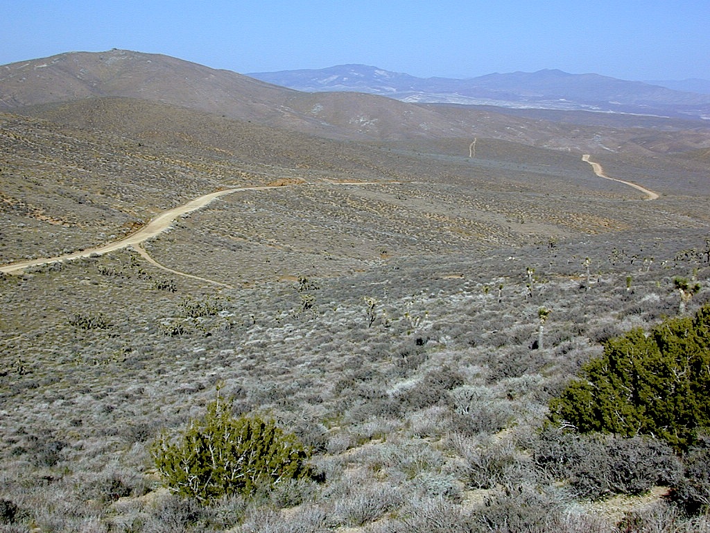
Jawbone Canyon is North Mojave Desert,
US Hwy 395 @ Hwy 14

Jawbone Canyon Map

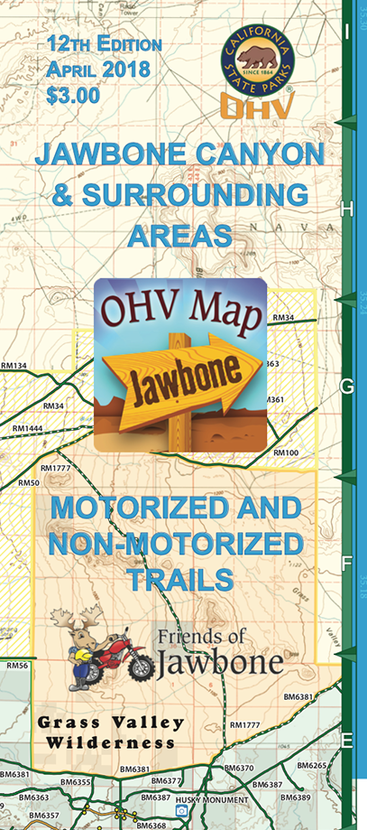
12th edition. jawbone.org

Jawbone Canyon Map

New features on map include – restroom and kiosk locations, updated GPS coordinates, updated trail routes and revised points of interest.

Off Road Map: Jawbone Canyon / Kelso Valley / Randsburg Ghost Town

Jawbone Canyon OHV North Mojave Desert Map; Topo features, Waterways, Trails & Roads. Motorized & no-motorized trails. Eastern Kern County High Desert. Spangler Hills OHV, Trona Pinnacles National Monument, Randsburg OHV, Red Mountain, Johannesburg, Red Rock Canyon State Park, Last Chance Canyon, El Paso Mountain Wilderness, Desert Tortoise Preserve, Kiavah Wilderness, Dove Springs OHV, Bright Star Wilderness, Tehachapi Loop, Walker Basin, California City, BLM Camping Mojave California Desert Trails, Southern Sierra OHV.  Map by Friends of Jawbone w/ California Trail Users Coalition

SoCal Off-Road, OHV Parks, Dove Springs, Jawbone Canyon, Dirt Bike Maps, offroad, North Mojave Desert, Trona Road


avenza mapsget a digital version of this map
CTUC Jawbone Canyon OHV Map

driftwood

Jawbone Canyon Map

Camping Last Chance Canyon

Jawbone Canyon Map

California Mojave Desert OHV Camping:

Do the off-roader RVs really roast a turkey in the ground at Jawbone Canyon?

Death Valley National Park is a land to be visited, during winter months (NOV-APRIL)

Randsburg – Living Ghost Town, off US Highway 395

Jawbone Canyon Map

Jawbone Canyon leads up to Kelso Valley & Bright Star Wilderness, eventually up to Lake Isabella near Kern River, Southern Sierra California

see also –

Inyo National Forest Map
Inyo Forest Topo Atlas
Sequoia National Forest Map
Sequoia Forest Atlas
Southern Sierra Map