Desolation Wilderness Trail Map

Desolation Wilderness Trail Map
Tom Harrison

Desolation Wilderness Trail Map

Desolation Wilderness Map, Tahoe Lake Camping. Lake Tahoe, CA; Tahoe Westside, Loon Lake camping, Lake Aloha, Emerald Bay, Fallen Leaf Lake, DL Bliss State Park, Echo Lake, Velma Lake, Wrights Lake, Rubicon River, Rubicon 4×4 Trail, Rockbound Valley, Tahoe Rim Trail hiking PCT Pacific Crest Trail; Sierra Nevada High Country Tahoe hiking; Durable, waterproof plastic map; Folded. Map Scale: 42.24K; ISBN# 9781877689611

avenza mapsdownload digital version of this map –
Desolation Wilderness Trail Map
Desolation Wilderness Trail Map

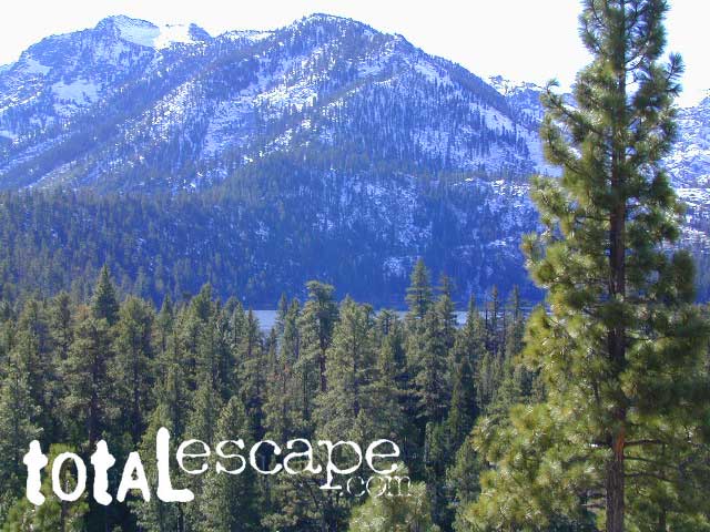
Desolation Wilderness on the Westside of Lake Tahoe

Desolation Wilderness Trail Map

Desolation Wilderness Trail Map

NEWER VERSION

Desolation Wilderness is a popular backpacking destination next to Lake Tahoe, with much barren rocky terrain at the edge of the tree line. It has extensive areas of bare granite rock formations. The Tahoe Rim Trail and Pacific Crest Trail pass through the wilderness.

Permits are required for both day use and overnight camping. In the summer, a quota system is used for overnight trips to limit the number of visitors on any given day in the wilderness. Desolation Wilderness is one of the most heavily used protected areas in the United States. This Wilderness area is split up into 45 different zones, with each having a specific permitting quota.

The Crystal Range is within the wilderness area, with Pyramid Peak as the highest point in the range and the wilderness at 9,985 feet in elevation. Among the many waterfalls within the wilderness is Horsetail Falls.

Its largest body of water is Lake Aloha, a reservoir with shallow, clear waters sitting in a wide granite basin carved by glaciers of the last ice age. Many other alpine and wooded lakes of various sizes are scattered throughout the area.


see also –

Crystal Basin Silver Fork Map
Eldorado National Forest Map
Lake Tahoe Books
Lake Tahoe Maps
PCT Map #4 Mid Sierra
PCT Map #5 N Sierra

PCT Map #3 South Sierra

USDA PCT Map 3

PCT Map 3 Southern Sierra Nevada Mountains

Pacific Crest Trail National Scenic Trail
PCT – Hiking Map 3

Tehachapi to La Conte Canyon

Tehachapi Pass, California north to La Conte Canyon @ Kings Canyon National Park. Areas include – Owens Peak Wilderness, Chimney Peak Wilderness, Kennedy Meadows, Deer Mountain, Beck Meadow, Anderson Point, Cow Canyon, Golden Trout Wilderness, Olancha Peak, Grouse Meadow, USDA PCT Map 3Muah Mountain, Cottonwood Lakes, Mount Whitney, Tyndall Creek, Kings Kern Divide, Charlotte Lake, Rae Lakes, Fin Dome, Mount Baxter, Taboose Pass, Vennacher Needle, Mount Jepson, Black Divide, Kings Canyon National Park. USDA PCT Map #3, Large fold out map, durable waterproof paper w/ sturdy cardboard cover. ISBN# 9781593514648

USDA PCT Map 3

Tehachapi

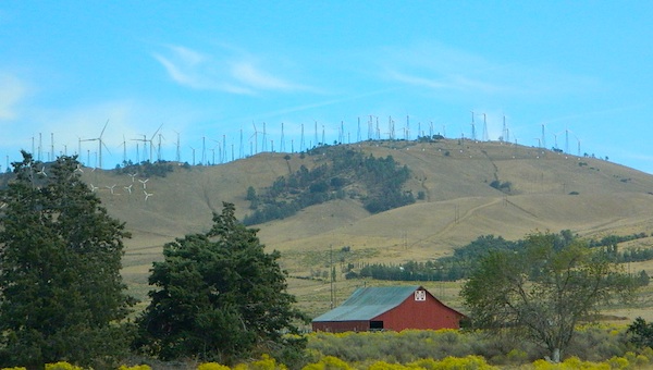
Windmills @ Tehachapi

USDA PCT Map 3

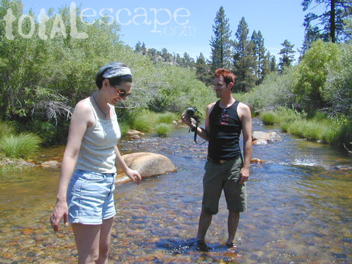
River dip @ Kennedy Meadows

USDA PCT Map 3

Cottonwood Camp

see also –

South Sierra Map
Jawbone Canyon Map
Dome Land Wilderness Map
Golden Trout Wilderness Maps
Sequoia National Forest Map
Inyo National Forest Map
Mount Whitney Trail Maps
Kearsarge Pass Trail Map
Kings Canyon Highcountry Map
Sequoia Kings NP Maps

Eastern Sierra Books

Eastern Sierra Books

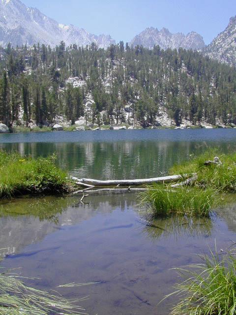
Flower Lake, Eastern Sierra Nevada Mountains

Eastern Sierra Books
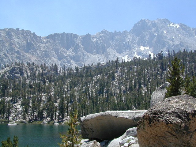
Mount Whitney, Bishop Hikes, Rock Creek, Mammoth Lakes, June Lake & Mono Lake

Eastern Sierra Books

Eastern Sierra Books

Eastern Sierra Books

Eastern Sierra Books

The Eastern Sierra is a region in California comprising the eastern side of the Sierra Nevada, which includes Mono and Inyo Counties. The main thoroughfare is US Highway 395, which passes through Bridgeport, Lee Vining, Bishop, Big Pine, Independence, Lone Pine, and Olancha, with Bishop being the largest city in the area. It is sparsely populated but well known for its scenery; major points of interest include Mono Lake, Bodie, Mammoth Lakes, Manzanar, and parts of Yosemite National Park and Death Valley National Park.

Mountain Peaks above 14,000 feet elevation: Mount Whitney, Williamson, North Palisade, Sill, Russell, Split, Langley, Tyndall, Muir, Middle Palisade.

Wilderness Areas: Ansel Adams, Bright Star, Chimney Peak, Domeland, Emigrant, Golden Trout, Hoover, John Muir, Mount Rose, Owens Peak, Owens River Headwaters, Sacatar Trail, Sequoia-Kings Canyon, Yosemite

Eastern Sierra Books

High Sierra Lakes – Day Hikes

Eastern Sierra Maps:

hiker

Eastern Sierra Destinations:

San Diego Books

San Diego Books

Find Maps for San Diego Mountains & Deserts:

San Diego Books

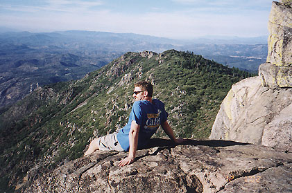
Cuyamaca Peak

San Diego Camping & Hiking Books


San Diego Books