Sierra National Forest Map

Sierra NF Map USDA

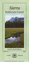
Sierra National Forest Maps

sierra national forest map

Central Sierra National Forest Map. USDA

Bass Lake, Shaver Lake, Huntington, Edison, Florence, Mammoth Pool, Yosemite West

Neighboring Yosemite National Park on the westside, Sierra NF is one of the most popular National Forest in U.S. – and California, due to its proximity to the National Park. John Muir Wilderness is within easy reach and trailhead parking can get close to higher elevations, via Lake Edison. Kings River w/ Pine Flat Reservoir and Kings Canyon National Park is on the south border of this forest.

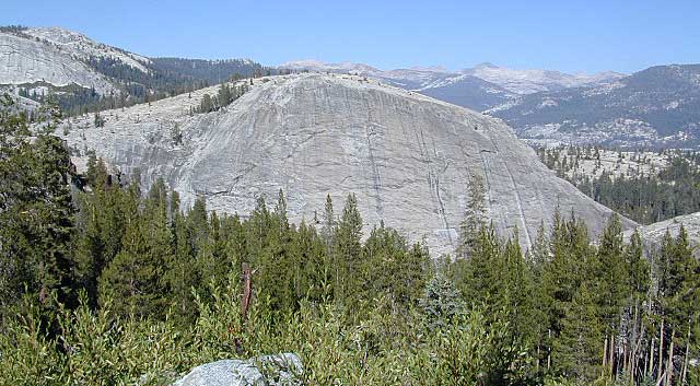
Numerous reservoirs, big rivers, many creeks, meadows, granite walls, domes, mountain peaks. Wilderness trailheads, backpacking, boating, camping, fishing, hot springs, kayaking, mountain biking, mountaineering routes, off roading, river rafting, rock climbing, snowmobiling, snow ski & xc.

snowmoSierra National Forest
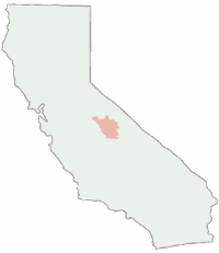
is located south of Yosemite National Park and to the east of Fresno, CA
Sierra Trail Maps

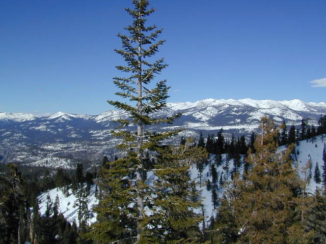
Panorama of the Backcountry, via SnowMo in mid-March

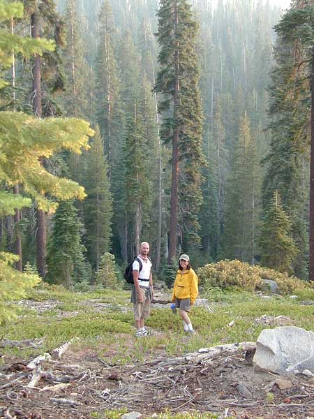
This huge National Forest experienced a very destructive wildfire in 2020, so the photos are how gorgeous this place was prior to that awful event.
Creek Fire 2020

Sierra Maps

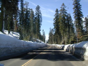
Highway 168 is plowed often

Sierra Maps for Central Sierra Mountains 

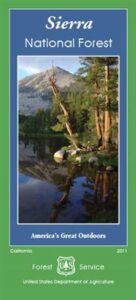
Waterproof map of the Sierra Nevada. Quality USDA maps created for the National Forest Service. Yosemite West, Kaiser Pass, Kaiser Wilderness, Huntington Lake & Shaver Lake, Dinkey Creek, Wishon Reservoir & Courtright Reservoir. Western Sierra Nevada Wilderness.

Ranger Map – NFS issued map. GPS: Longitude & Latitude; Rivers, Creeks, Peaks, Elevations, 4WD & every dirt BackRoad, Hot Springs, Equestrian Areas, all Campgrounds, Hiking Trails & BackPacking Trailheads.

Areas include: Western Sierra, Sierra Summit, Mariposa, Wawona, Oakhurst, Merced River, Bass Lake, Huntington Lake, Shaver Lake, Kaiser Pass, Dinkey Creek, South Yosemite, Mono Hot Springs, San Joaquin River, Mammoth Pool Reservoir, Lake Edison, Florence, Wishon, Courtright, John Muir Trail/Wilderness, Ansel Adams Wilderness, Mammoth, Sierra Lakes, North Kings Canyon National Park, Pine Flat Reservoir, Black Rock Reservoir, Kings River, Monarch Wilderness.

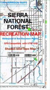
Map Size: 36″x 40″ overall / 4″x9″ folded; Printed in 2011 on waterproof plastic. ISBN# 9781593514907

Sierra Maps

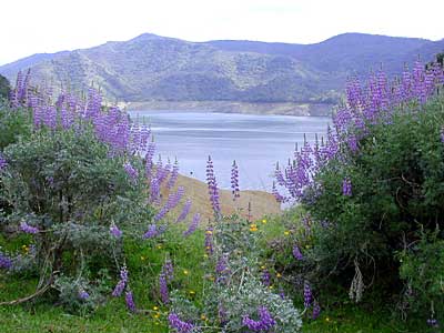
National Forest Maps Lupine @ Pine Flat Reservoir, Lower Kings River

Sierra National Forest

Sierra National Forest Map

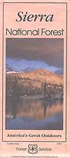
OLDER EDITION

Sierra Maps

REAL OLD EDITION


Sierra Maps

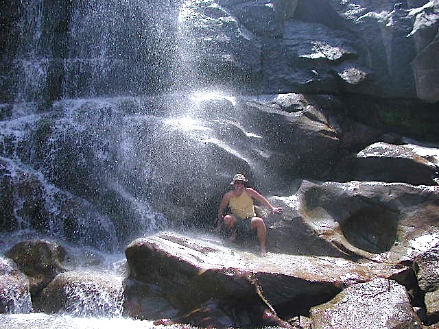
Rancheria Falls @ Huntington Lake, CA

Tom Harrison Map of Sierra National Forest
Tom Harrison Map Sierra NF

hiking

NOTE: Wildfire has recently ravaged about half of this National Forest, from Shaver Lake to Mammoth Pool Reservoir; Kaiser Wilderness, San Joaquin River, Huntington Lake, all the way out to Lake Edison. Many areas could be closed to logging and fire cleanup. Check with USFS web site for specifics.
Creek Fire 2020

digital maps

apps/maps:
download digital topos & maps

Sierra Maps

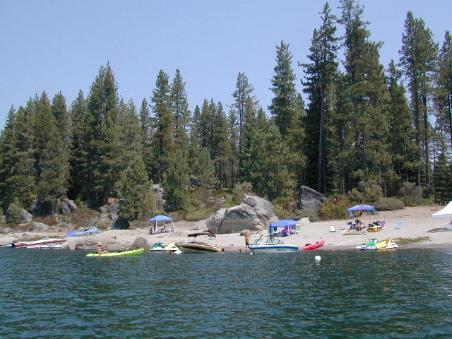
Shaver Lake Beaches by Boat

nearby towns:Sierra Lakes Map

Sierra Maps

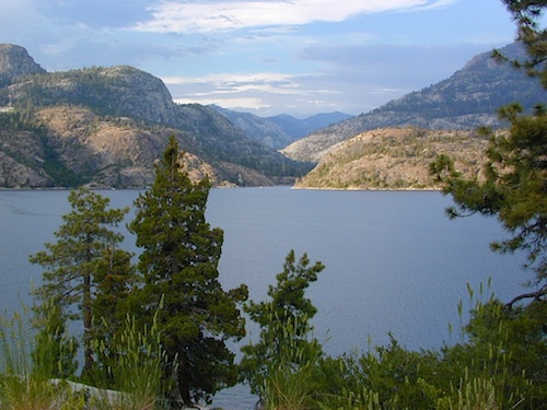
Wishon Lake (Reservoir)


Sierra Maps

Climbing Wall @ Wishon


Sierra Maps

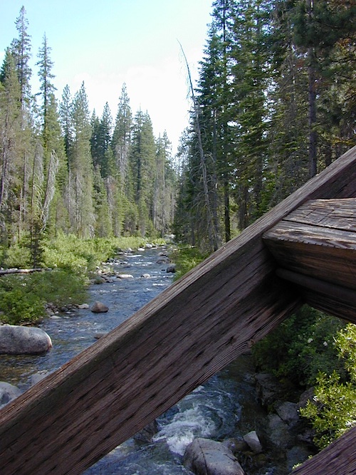
Dinkey Creek from Bridge

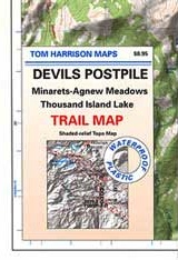
Devils Postpile Trail Map

minarets

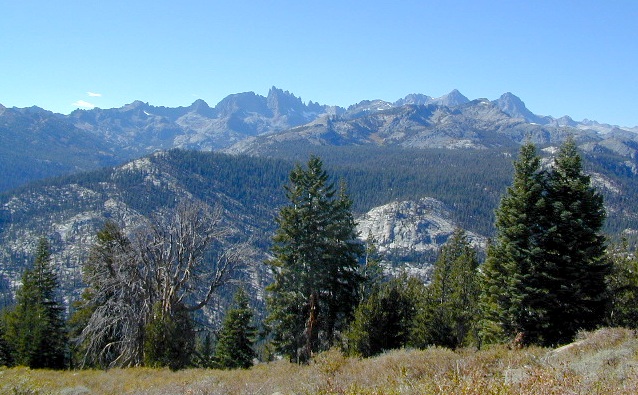
Minarets @ Mammoth

Devils Postpile Map
Tom Harrison

devils postpile trail map
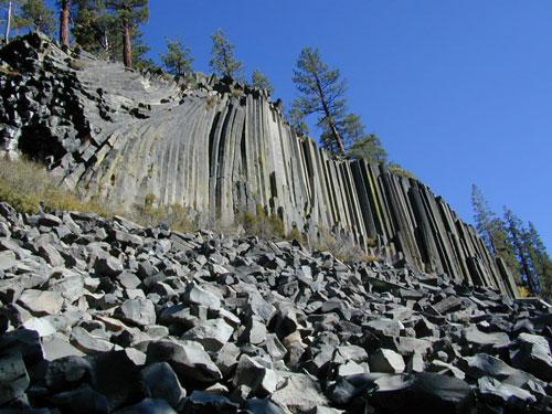
Devils Postpile National Monument
Minarets @ Mammoth Lakes
June Lake Loop
Eastern Sierra Mountains

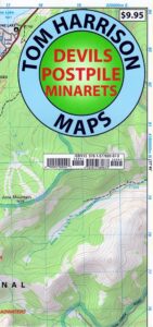
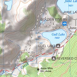
Tom Harrison Trail Map: Devils Postpile CA; Mammoth Lakes Area, Eastern Sierra Hikes; Cool California Geology, Camping Sierra Nevada mountains. Areas Include: Gem Lake, Minarets Hiking Trails, Rainbow Falls, Garnet Lake, Ritter Range, June Mountain, Mammoth Minarets, Agnew Meadows, Thousand Island Lake; Mammoth Lakes, Mammoth Hiking Backpacking Mammoth Lakes. Mammoth Trail Maps, Tom Harrison Topo Map Mammoth Hikes, Mammoth Mountains, Topo, Waterproof, Topographic Maps.

fishing mapDurable, waterproof plastic map; Folded. Map Scale: 40K; Tom Harrison brand ISBN# 9781877689673

avenza mapsdownload digital version of this map –
Devils Postpile Trail Map

Devils Postpile Trail Map

Post Piles @ Mammoth

Devils Postpile Map

PREVIOUS EDITION MAP

hike mammoth

the details

Inyo National Forest
Sierra National Forest
Ansel Adams Wilderness

old maps

REAL OLD MAP

nearby towns –hikers map

see also –
Mammoth Highcountry Trail Map
Mammoth Lakes Map NatGeo
Mono Divide Highcountry Map

Ansel Adams Topo Map

Devils Postpile Trail Map

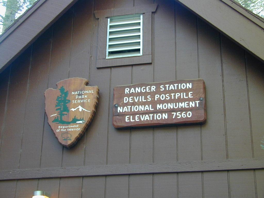
NPS Ranger Station


Devils Postpile Trail Map

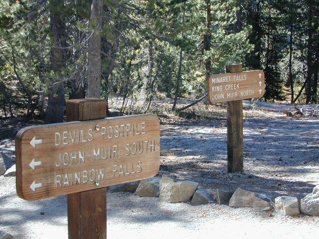
Trailheads @ Devils Post Pile National Monument

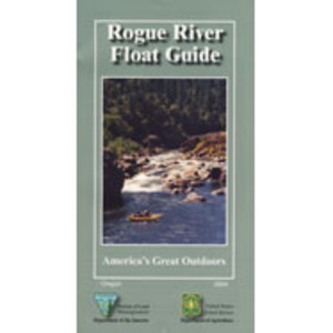
Rogue River Guide Book

Rogue River Map Booklet

Rogue River Guiderogue river guide

Tubing Oregon – Rogue River. Raft, float, paddle, camp, fish or hike.

Float tube, kayak, river rafting details for southern Oregon’s Rogue River. Every rapid, every camp site, every creek, swimming holes, fishing spots, mile by mile; Well laid out visual maps & information in this handy booklet. Printed on paper in 2004. BLM & USFS printing.

2022 currently unavailable on Amazon; might still be found at local ranger stations

Rogue River Map Book, Oregon Float Guide, Tubing
Kayak, Raft, Creek, BLM, USFS, USDA

fish

Rogue River Float Guide

Rogue River Float Guide Booklet (USFS & BLM)

canoe

Rogue River National Wild and Scenic River

hiker

Rogue River in located within the state of Oregon, just above the state line of California. Flowing westward, the river joins the Pacific Ocean at Gold Beach, Oregon.

The Rogue River in southwestern Oregon flows about 215 miles in a generally westward direction from the Cascade Range to the Pacific Ocean. Known for its salmon runs, whitewater rafting, and rugged scenery, it was one of the original eight rivers named in the Wild and Scenic Rivers Act of 1968.

Beginning near Crater Lake, which occupies the caldera left by the explosive volcanic eruption and collapse of Mount Mazama, the river flows through the geologically young High Cascades and the older Western Cascades, another volcanic province.

Further west, the river passes through multiple exotic terranes of the more ancient Klamath Mountains. In the Kalmiopsis Wilderness section of the Rogue basin are some of the world’s best examples of rocks that form the Earth’s mantle. Near the mouth of the river, the only dinosaur fragments ever discovered in Oregon were found in the Otter Point Formation, along the coast of Curry County.

Rogue River Float Guide

see also –

Rogue River National Forest Map
Red Buttes Wilderness Map
Columbia River Map
Oregon Dunes Map 
PCT Map #7 Southern Oregon
PCT Map #8 Northern Oregon

Yosemite National Park Map

Yosemite Park Maps
Hiking Map Yosemite

merced bridge

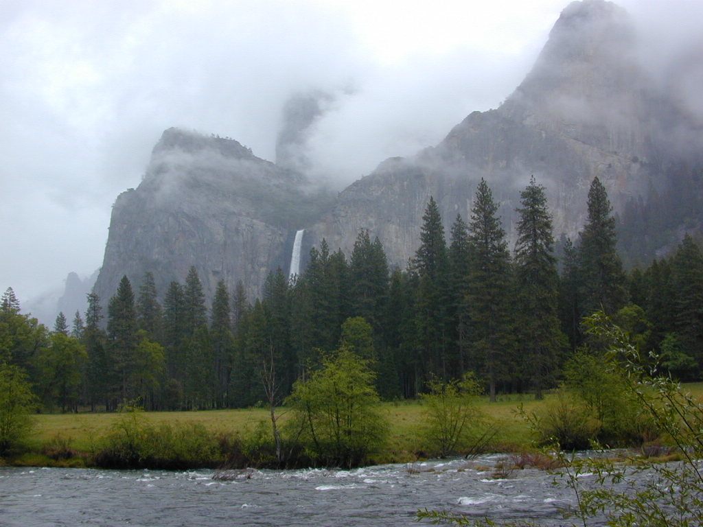
Since Yosemite National Park is one of the most popular destinations inside California, several cartographers make overview maps and hiking maps for this busy park. Much of the area is covered in snow half the year and roads are closed annually. So know before you go and call the rangers. Double check campgrounds, trails, road conditions and weather, all prior to trip departure.

Tom Harrison is has an extensive list of trail maps which include the low elevations of Yosemite Valley, as well as the higher elevation backcountry. Waterproof trail maps, topographic w/ camps, canyons, climbs, creeks, lakes, peaks, all terrain.

Yosemite National Park Map

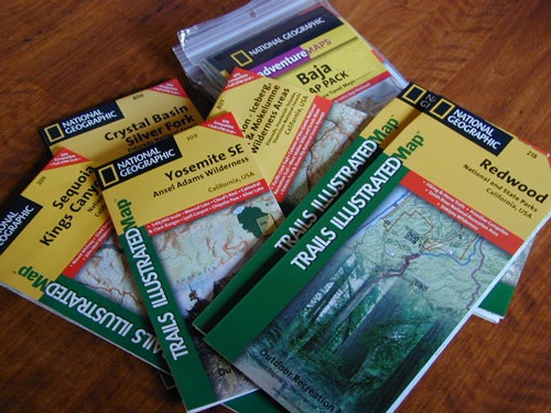
National Geographic also makes a series of colorful Yosemite maps, which span the whole park from west to east. Waterproof, tear-resistant, folded, two-sided maps. Wilderness Press makes a couple too!

Yosemite Topo Maps

Yosemite National Park Map
by Tom Harrison Maps

Tom Harrison Recreation Map

Yosemite National Park Map, Topo Map Yosemite Parks Trails, Hiking Trails Yosemite overview Map; GPS compatible, UTM grid; Shaded relief topo map. Durable, waterproof plastic map; Compact and folded. Map Scale: 125K; ISBN# 9781877689505

avenza mapsdownload digital version of this map –
Yosemite National Park Map

driftwood

Yosemite National Park Map

OLDER MAP

Yosemite National Park Map

Merced River, Yosemite Valley, CA

Yosemite Maps

SUPER OLD Trails Illustrated MAP

see also –

All NatGeo Yosemite Maps
All Tom Harrison Yosemite Mapscamp map

Inyo National Forest USDA
Sierra National Forest USDA
Stanislaus National Forest USDA

Ansel Adams Trail Map
Half Dome Hiking Map
John Muir Wilderness Maps
Tuolumne Meadows
Yosemite High Country Maphikers map
Hetch Hetchy Map
Hoover Wilderness Trail Map


Yosemite National Park Map

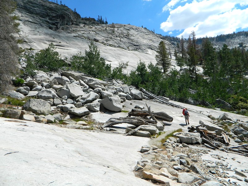
Yosemite Granite Slabs – High Sierra Camp (HSC) hiking Vogelsang to Lake Merced