Mokelumne Wilderness Maps

Mokelumne Maps

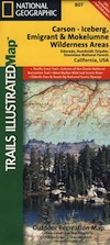
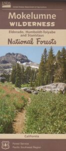
Mokelumne sits in between Carson Pass (Hwy 88) and the Ebbetts Pass (Hwy 4) – a vast Sierra mountainous area, south of Lake Tahoe. With high elevation passes that are usually closed more than half the year due to deep snow, this area becomes summer vacation haven for outdoor seekers. Mokelumne Wilderness Maps can show you the details for picnics, day hikes, trailheads, backpacking routes, horse packing trail camps, alpine lakes, reservoirs and the Mokelumne River.

Mokelumne Map USDA

mokelumne map USDA

Mokelumne Wilderness is located in the Central Sierra Nevada mountains, above the Gold Country foothills, in between Hwy 88, 89 and 4; due south of Lake Tahoe. Fish, mountain bike, kayak, camp, backpack, horseback. It is all out here in gorgeous-ville. Lakes and peaks, rivers and creeks. All of this beauty and adventure waiting for you, but only accessible half the year (or less) – due to snow. Certain areas are designated Hiking Mapfor winter recreation, cross country skiing and snowmobiling.

Mokelumne is bordered by 3 National Forests, in the middle of the Sierra Nevada mountain range: Stanislaus NF, El Dorado NF & Toiyabe NF.
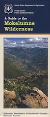
 

Mokelumne Map

PREVIOUS EDITION MAP

Hiking Topo Map
Mokelumne Wilderness Map
#807 NatGeo

National Geographic produces high quality topo maps with Trails Illustrated. High elevation, outdoor recreation highlights, trailhead parking, all roads, all trails, all campgrounds, peaks, lakes. GPS info. Full color, 2 sided map. Map 807
Topo Maps Mokelumne

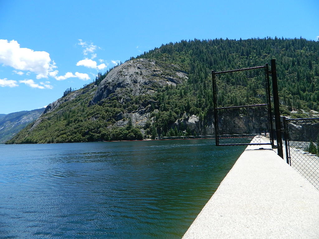
Salt Springs Reservoir

Mokelumne Wilderness

Bordering the wilderness lands for day hikes and car camp on the outskirts. Plenty of dirt road in this region will lead to dispersed camp sites. Or do a backpacking week, or a horse pack adventure – deep into the untouched wild country of the Sierra Nevada mountains.

towns nearby:
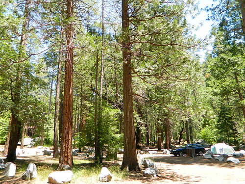
Camgrounds Maps

Free Camgrounds in the Sierra

see also –

National Forest Maps

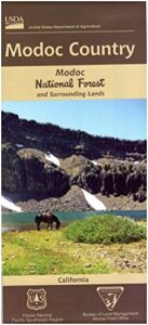
Modoc National Forest Map
Modoc NF Map
NFS – USDA – U.S. Forest Service

Modoc National Forest Map
Modoc Country
Northeast California
Pit River, Warner Mountains

Modoc National Forest Map

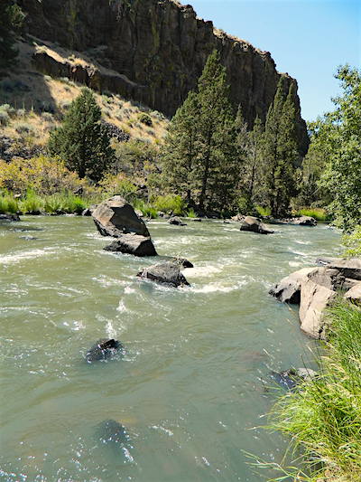
Pit River in Jess Valley

MODOC NF Map

Modoc Country Map. Modoc & Lassen County, Alturas, Tulelake, Cedarville, Warner Mountain, South Warner Wilderness

Standard Issue. Ranger Map – NFS issued map. GPS: Longitude & Latitude; Rivers, Creeks, Peaks, Elevations, 4WD & every dirt BackRoad, Hot Springs, Equestrian Areas, all Campgrounds, Hiking Trails & BackPacking Trailheads. Northeast CA state.

Modoc Map

OLDER VERSION

Modoc National Forest MapAreas include: Northeastern California, Modoc County, Lassen County, Alturas, Tulelake, Cedarville, Adin, Lava Bed National Monument, Devil’s Garden Wetlands, Big Valley, Doublehead, Warner Mountain, Goose Lake, South Warner Wilderness, Medicine Lake, Big Sage Reservoir, Clear Lake Reservoir, Lower Klamath Lake, Tule Lake Sump, Door Knob Snowmobile Area, Long Bell State Game Refuge, Oregon border.

Map Size: 39″x45″ overall / 4″x9″ folded; Printed on plastic.

see also – Modoc Topo Atlas

Modoc National Forest Map

Mill Creek Falls & Campground

Looking to escape the crowds in California? Then head north, way north, to the eastern reaches of Modoc. This remote, high-elevation area gets some serious winter weather and snow, so visiting during the warmer months would be ideal for -camping, backpacking, horseback riding, fishing, kayaking, hiking, hunting and off roading. Hundreds of miles of dirt roads weave in and out of dense forests, around lakes, over creeks and connect Alturas to Cedarville, CA

Northern California Forest / Modoc Country: Modoc National Forest

Wilderness areas in Modoc: South Warner Wilderness Map

Modoc National Forest Map

Blue Lake of Modoc NF

nearby towns:

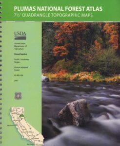
Plumas Forest Topo Atlas

Plumas Atlas USDA
Plumas National Forest Atlas

Plumas Atlas Book

The PLUMAS atlas, is a spiral bound book – a collection of all the quads. (7½ minute topographical maps, of all of Plumas National Forest) This book map has detailed topo lines, mountain peaks, streams, lakes, hiking trails & back roads. Perfect for all kinds of recreational needs. These particular maps are on a per order basis, meaning most have to be special ordered from the ranger – which takes about a week to get them. Printed in 2019

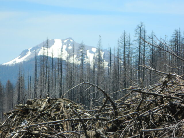
check mapsWILDFIRE NOTE: Two thirds of the Plumas National Forest has burnt in 2020-2021 with huge and destructive wildland fires. Some areas are closed, due to fire damage. Expect debris in roadways, detours, bleak scenery and dead trees falling.

The 2020 #BearFire #NorthComplex and the 2021 #DixieFire destroyed historic buildings, fire lookouts, old cabins, residential houses, small towns and rural communities; plus old growth forests and unimaginable numbers of wildlife. Many roads, trails and campgrounds are closed to the public; while reforestation may take many decades, if not a century.

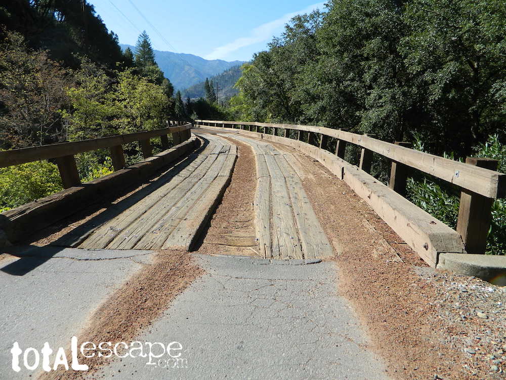
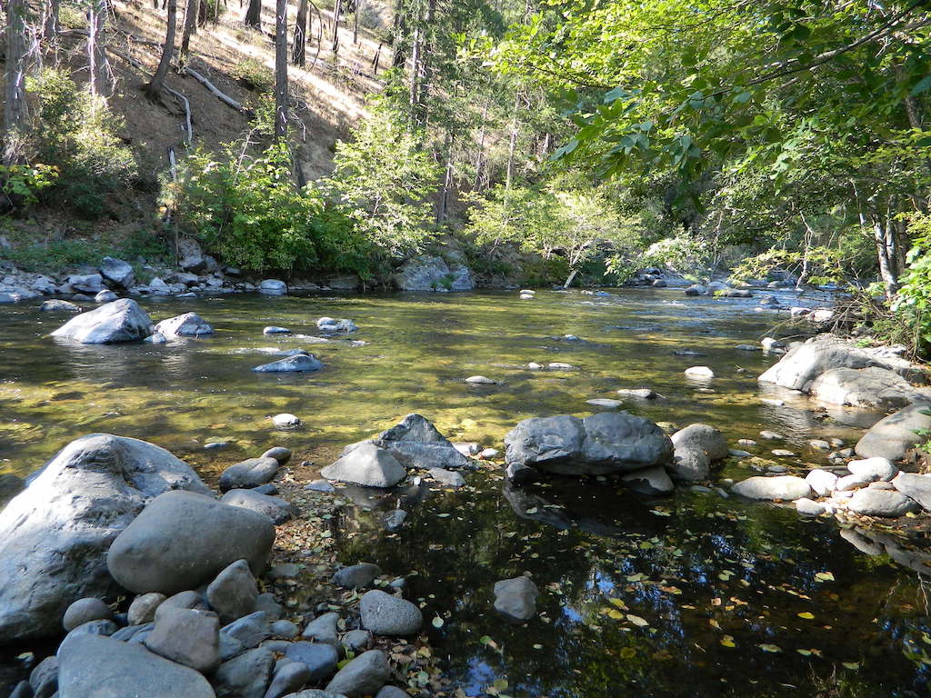
Caribou Road (in 2018) off Hwy 70. North Feather River

hikers map

trail map

camp map

Plumas National Forest QUADS:
from south to north –

  • French Corral
  • Challenge
  • Rackerby
  • Oroville Dam
  • Forbestown
  • Clipper Mills
  • Strawberry Valley
  • Goodyears Bar
  • Cherokee
  • Berry Creek
  • Brush Creek
  • Cascade
  • American House
  • La Porte
  • Mount Fillmore
  • Gold Lake
  • Clio
  • Calpine
  • Paradise East
  • Pulga
  • Soapstone Hill
  • Haskins Valley
  • Dogwood Peak
  • Onion Valley
  • Blue Nose Mountain
  • Johnsville
  • Blairsden
  • Portola
  • Reconnaissance Peak
  • Chilcoot
  • Beckwourth Pass
  • Kimshew Point
  • Storrie
  • Bucks Lake
  • Meadow Valley
  • Quincy
  • Spring Garden
  • Mount Ingalls
  • Grizzly Valley
  • Crocker Mountain
  • Dixie Mountain
  • Frenchman Lake
  • Constantia
  • Belden
  • Caribou
  • Twain
  • Crescent Mills
  • Taylorsville
  • Gensee Valley
  • Babcock Creek
  • Squaw Valley Peak
  • Ferris Creek
  • McKesick Peak
  • Almanor
  • Canyondam
  • Greenville
  • Moonlight Peak
  • Kettle Rock
  • Antelope Lake
  • Stony Ridge
  • Milford
  • Fredonyer Pass
  • Diamond Mountain
  • Janesville
  • Standish

Plumas Forest, USFS Map, Topo Atlas, Fishing, Camping, Feather River, Lake Almanor, Indian Valley

see also –

Plumas National Forest Map USDA
Bucks Lake Wilderness Map
Sierra Buttes Maps

North Feather River

North Feather River @ Caribou Rd

Lassen Park Map

Mount Lassen

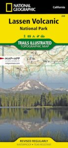
NatGeo Lassen Volcanic Map

Northern California:Lassen Park Map
Lassen Volcano National Park
Lassen National Forest
Lassen Lakes
Lassen Camping

National Geographic Maps are full color, waterproof plastic; 2-sided, updated regularly. Campgrounds, trailheads, all roads, rivers, creeks, lakes. Trails Illustrated, National Geographic Map #268; 4.1 x 0.3 x 9 inches; ISBN# 9781566956796

NatGeo Lassen Map

Lassen Park MapLassen National Forest surrounds Lassen Volcanic National Park. Lake Almanor, Susanville, Fall River Mills, Burney Falls, Juniper Lake, Drakesbad Ranch, Bucks Lake Wilderness NatGeo w/ GPS: Longitude & Latitude; Rivers, Creeks, Peaks, Elevations, 4WD & every dirt BackRoad, Hot Springs, Equestrian Areas, all Campgrounds, Hiking Trails & BackPacking Trailheads.

NFSLassen National Forest
NPS Lassen National Park

Lassen Park Map

Eagle Lake, Susanville, CA

Lassen Park MapAreas include: Northern California, Butte County, Tehama County, Shasta County, Plumas County, Lassen County, Burney, Ahjumawi Lava Springs State Park, Thousand Lakes Wilderness, Manzanita Lake, Mineral, Shingletown, Ponderosa Sky Ranch, Hwy. 89, Hwy. 36, Lassen Volcanic Peak, Stover Mountain, Feather River.

Lassen Park Map

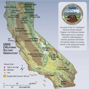
USGS Volcano California

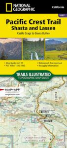
PCT map Lassen

PCT Map Lassen

see also –
Lassen National Forest Map USDA
Lassen Forest Topo Atlas
Ishi Wilderness Map