Modoc National Forest Atlas
Topographic Modoc USDA
2024 CURRENTLY UNAVAILABLE
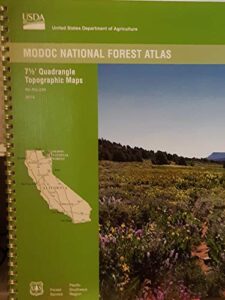
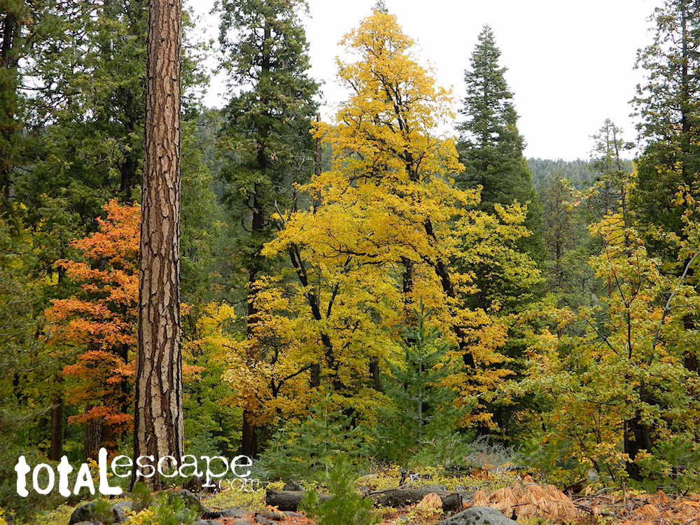
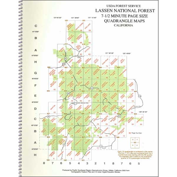
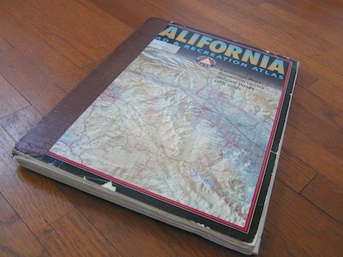
 USDA Modoc National Forest Topo Atlas Map. The MODOC atlas is a spiral bound book for Northeastern California – a collection of all the quads. (7.5 minute topographical maps, of all of Modoc National Forest) This book map has detailed contour lines, mountain peaks, streams, lakes, hiking trails & back roads. Backpacking, camping, canoeing, fishing, hiking, hunting, kayaking, mountain biking and with the darkest night skies, stargazing. Atlas is perfect for all kinds of recreational needs.
see also –
Modoc National Forest Map
Fishing Maps for California
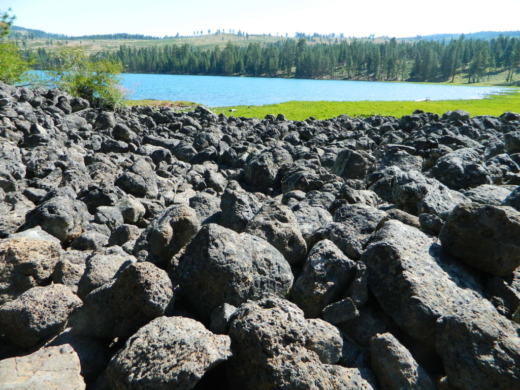
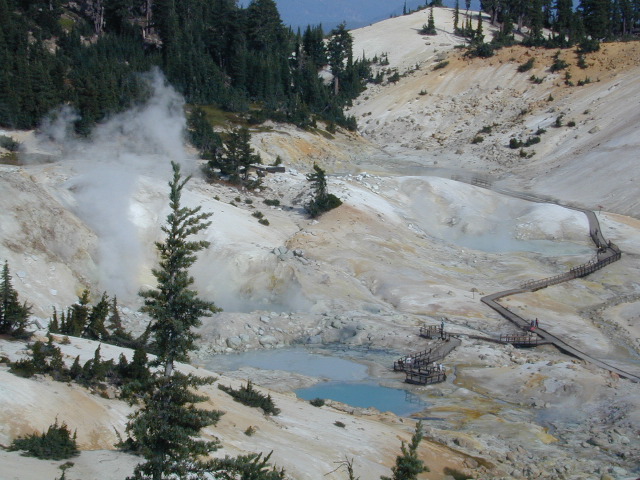
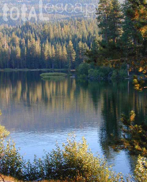
Blue Lake is a volcanic lake in Modoc, California
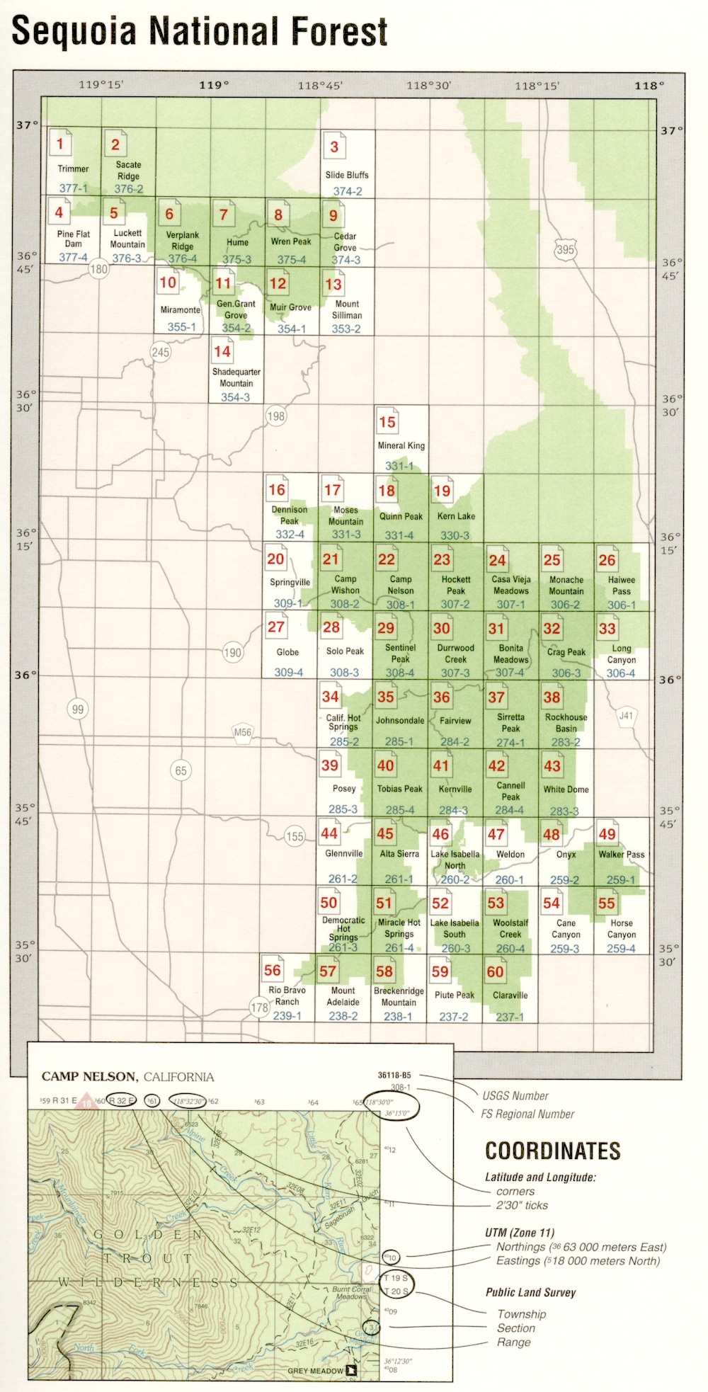
USDA Modoc National Forest Atlas QUADS:
-from south to north –
- Lower Klamath Lake

- Hatfield
- Newell
- Carr Butte
- Sagebrush Butte
- Steele Swamp
- Weed Valley
- Beaver Mountain
- Pease Flat
- West of Willow Ranch
- Willow Ranch
- Mount Bidwell
- Lake Annie

- Mount Dome
- Captain Jacks Stronghold
- The Panhandle
- Copic
- Double Head Mountain
- Pinnacle Lake
- Pothole Valley
- Hager Basin
- South Mountain
- McGinty Reservoir
- McGinty Point
- Sugar Hill
- Fort Bidwell

- Larkspur Hills
- Schonchin Butte
- Perez
- Rimrock Lake
- Lone Pine Butte
- Boles Meadows West
- Boles Meadows East
- Whittlemore Ridge
- Dead Horse Reservoir
- Lauer Reservoir
- Davis Creek
- Lake City

- Medicine Lake
- West of Kephart
- Kephart
- Spaulding Butte
- Knobcone Butte
- Ambrose
- Jacks Butte
- Big Sage Reservoir
- Mahogany Ridge
- Surprise
- Payne Peak
- Cedarville
- Border Mountain

- Hollenbeck
- Crank Mountain
- Happy Camp Mountain
- Washington Mountain
- Canby
- Rattlesnake Butte
- Alturas
- Dorris Reservoir
- Shields Creek
- Warren Peak
- Whitehorse
- Egg Lake
- Donica Mountain

- Halls Canyon
- Adin Pass
- Hermit Butte
- Graven Ridge
- Bayley
- Little Juniper Reservoir
- Soup Creek
- Eagle Peak
- Eagleville
- Lookout
- Big Swamp
- Adin
- Ambrose Valley
- Knox Mountain
- Likely
- Tile Mountain
- Jess Valley
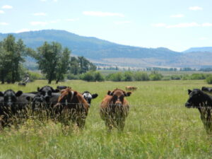
Jess Valley Cattle
- Emerson Peak
- Snake Lake
- Bieber
- Hog Valley
- Letterbox Hill
- Lane Reservoir
- Ash Valley
- Holbrook Canyon
- Madeline
- Cold Springs Mountain
- Boot Lake
- Little Hat Mountain
- Dixie Peak
- Silva Flat Reservoir
- Said Valley
- Whitinger Mountain


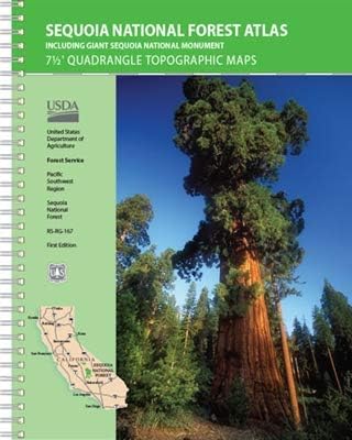
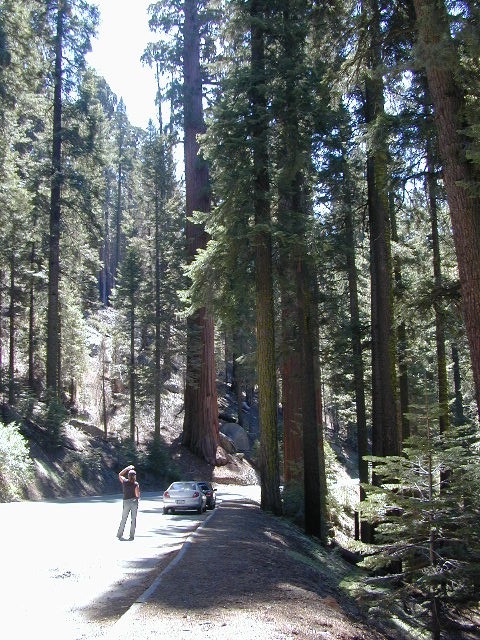
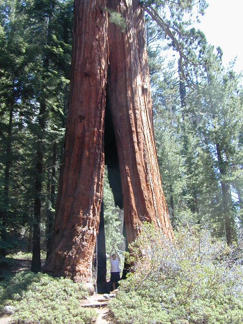
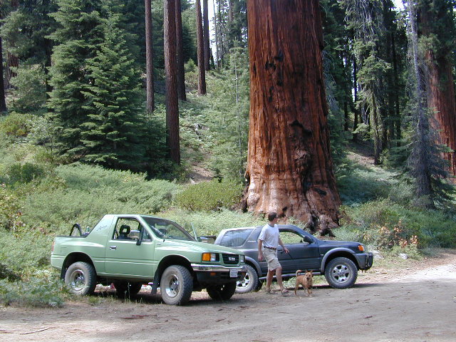
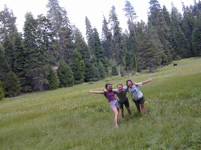
 Areas include: Southern Sierra, Kern Canyon, Hwy. 178, Walker Pass, Kernville, Lake Isabella, Sugarloaf, Domelands, Kern River, Kennedy Mdws, Sherman’s Pass, Monache Mdws, South Sierras, Rincon, Canebrake, Dome Rock, The Needles, Western Divide, Giant Sequoia National Monument, Ponderosa, Springville, Tule River, Mountain Home State Forest, Jennie Lakes Wilderness, Golden Trout Wilderness. It also features the surrounding areas to the Kings Canyon & Sequoia National Parks, plus it has the Kern River Canyon with notable hot springs such as – Miracle, Remington, Democrat, and the historic California Hot Springs.
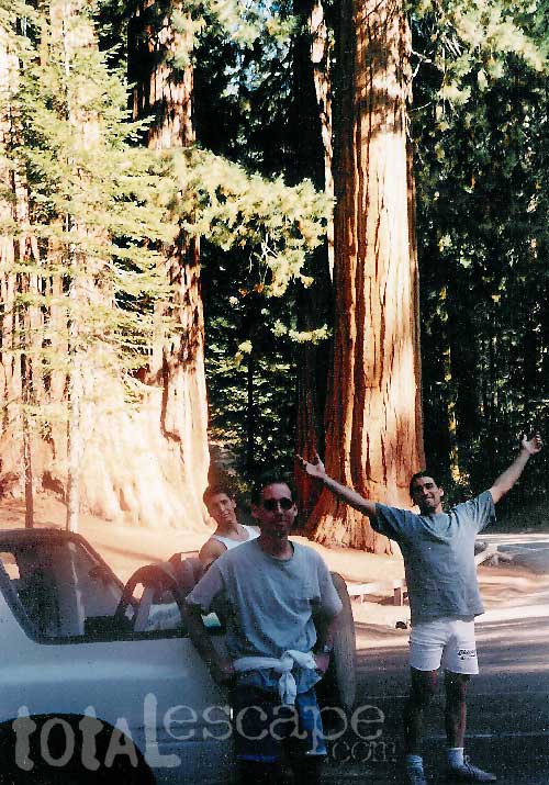


