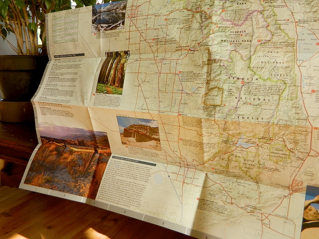
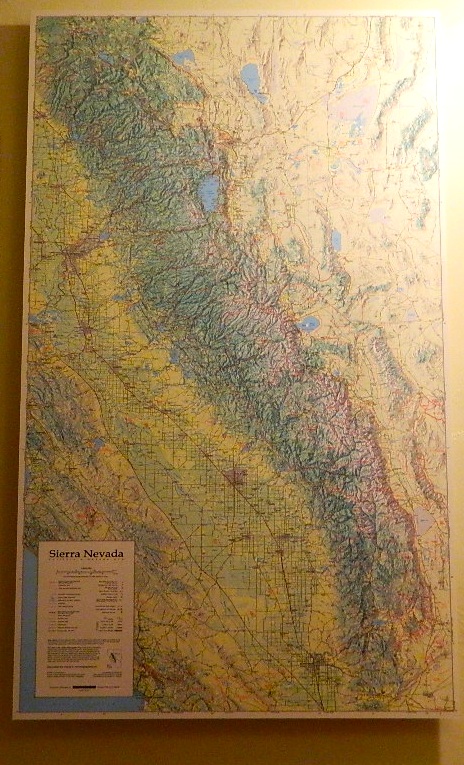
Mammoth Mono Map
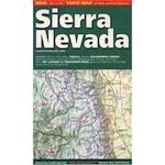
NatGeo Map #809


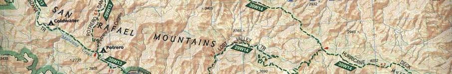
Mammoth Lakes & Mono Divide Map
Trails Illustrated Map from National Geographic. Mammoth Lakes & the Sierra Nevada Mono Divide on one map #809. This map covers areas inside Inyo National Forest & Sierra National Forest.
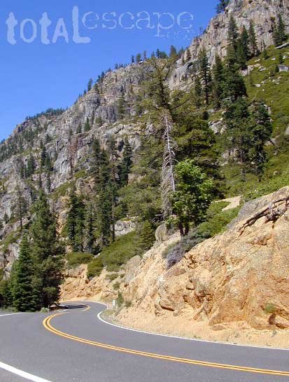
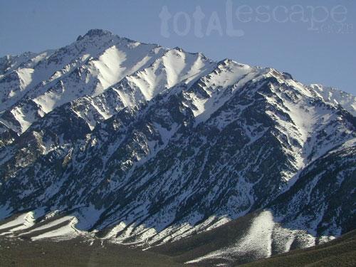
Many know the Eastern Sierra & US Hwy 395, but few know about the Mono Divide, deep in the majestic Sierra Nevada, way up behind Mammoth Lakes. Mono Hot Springs, Highway 168, back beyond Huntington Lake & Kaiser Pass. Florence Lake, Edison Lake, Vermillion Camp.
Only on foot connects the Western Sierra with the steep granite ridges and deserts on the east side.
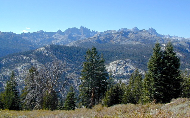
Ansel Adams Wilderness, Dinkey Lakes Wilderness. The Minarets, Devils Postpile National Monument. Hike PCT, John Muir Trail. Sierra Nevada High Country Hiking Map. Many alpine lakes to fish, hike and explore in the wilderness – the high country. Very detailed & colorful. Waterproof Plastic Map; Tear Resistant. GPS data. Printed 2010. ISBN# 9781566952668

Mammoth Lakes, Mono Divide High Country, Topographic Maps, Topo, Hike, Backpack, Fishing, Camping, Mountain Bike, Trail Maps, All Outdoor Recreation
nearby towns:
The Minarets @ Mammoth
see also –
Devils Postpile Trail Map
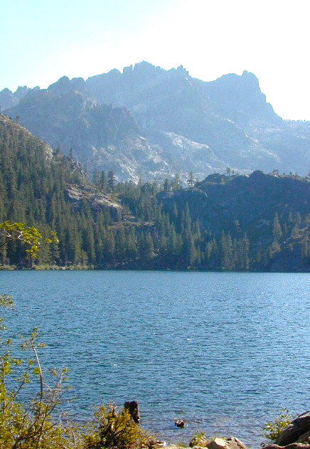
Mono Divide High Country Map
Ansel Adams Wilderness Maps
John Muir Wilderness Maps
Inyo National Forest Map USDA
Sierra National Forest Map USDA
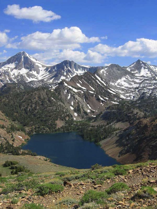
Lake Genevieve

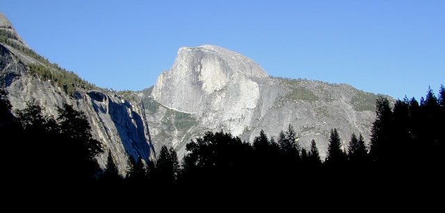
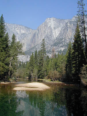
 The main hub, Yosemite Valley, is the busy region – so try to avoid it during summer (if at all possible). Tuolumne Meadows and Tioga Pass on Hwy 120 is considered the high country and has numerous trailheads leading to peaks, domes, viewpoints, waterfalls, alpine lakes, and the famous wilderness w/ High Sierra Camps (HSC). The paved route (SR 120) closes annually for winter snow (more than half the year), so reservations are required if planning an overnight stay.