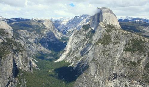
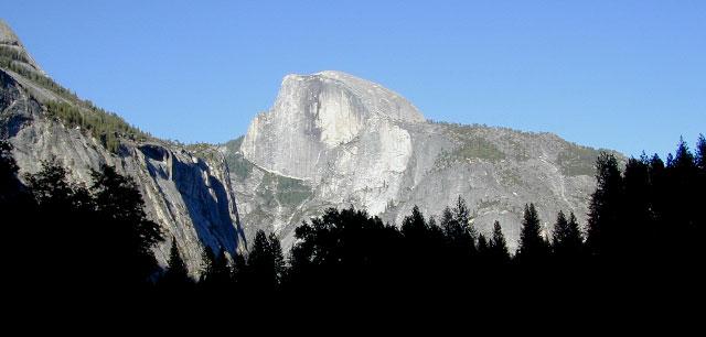
Half Dome view from Glacier Point (photo SKIP JONES)
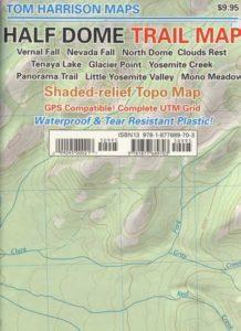
Half Dome Trail Map
Hiking to Half Dome is very long day trip, on foot, uphill half the way, with excessive elevation gain and loss. Leave toward the trailhead before day break and get back after sundown. No kidding: 17 miles round trip. You must be in excellent shape to tackle this trail, as it involves discipline and strength. Super scenic waterfalls and viewpoints all along the way. Some prefer to do an overnight trek w/ backpack, food and permits.

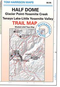
Half Dome Hiking Map
Tom Harrison Maps
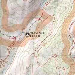
Hike Half Dome Yosemite Trails, Backpacking Yosemite National Park, Climbing Half Dome, Yosemite Day Hikes, Backpacking Maps; Areas include: Glacier Point Hike, Yosemite Creek, Yosemite Falls, Tenaya Lake, Yosemite Valley, Vernal Falls, Nevada Falls, North Dome, Clouds Rest, Teneya Lake, Yosemite Creek, Panorama Trail, Mono Meadow, Little Yosemite Valley.
Durable, waterproof plastic map; Folded. Map Scale: 31.7K; ISBN# 9781877689703
![]() download digital version of this map –
download digital version of this map –
Half Dome Hiking Map
The geology of the Yosemite area is characterized by granitic rocks and remnants of older rock. About 10 million years ago, the Sierra Nevada was uplifted and then tilted to form its relatively gentle western slopes and the more dramatic eastern slopes. The uplift increased the steepness of stream and river beds, resulting in the formation of deep, narrow canyons. About one million years ago, snow and ice accumulated, forming glaciers at the higher alpine meadows that moved down the river valleys. Ice thickness in Yosemite Valley may have reached 4,000 feet during the early glacial episode. The downslope movement of the ice masses cut and sculpted the U-shaped valley that attracts so many visitors to its scenic vistas today.
OLD MAP HALFDOME
OLDER VERSION
see also –
Yosemite Books
Yosemite Valley Trail Map
All NatGeo Yosemite Maps
All Tom Harrison Yosemite Maps
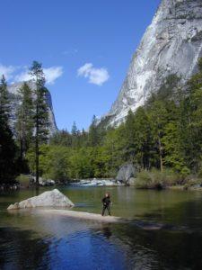
Below Half Dome, Mirror Lake
 Lewis, Crystal Lake, Mt. Williamson, Mt. Waterman, Charleton, Mount Pacifico, San Andreas Fault, Chilao Campground, Angeles Crest, Angeles Forest Highway, Los Angeles Forests, Messenger Peak, Lightning Point, Indian Canyon, Agua Dulce, Bouquet Canyon, Elizabeth Lake, Antelope Valley. Large fold out map, durable waterproof paper w/ sturdy cardboard cover. ISBN# 9781593514433