Golden Trout Wilderness Trail Map

Golden Trout Trail Map

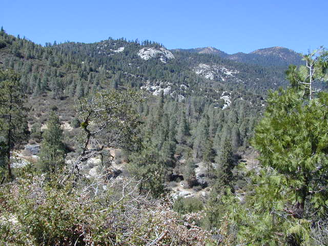
Golden Trout Wilderness is located above the Upper Kern River Gorge, in between the Sequoia National Forest and the Eastern Sierra peaks, on the Inyo National Forest. The northern most trailheads can be accessed through Mountain Home State Forest and also Mineral King Canyon inside Sequoia National Park

Southern trailheads are located at:

driftwood

Golden Trout Trail Map
Tom Harrison Maps
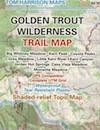
Golden Trout Trail Map

OLD VERSION

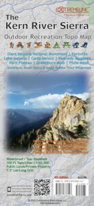
Golden Trout Wilderness Trail Map, Sequoia National Forest, South Sierra Backpacking Maps, Forks of the Kern River Map, Jerky Meadow Trailhead, Big Whitney Meadow, Kern Peak, Coyote Peaks, Grey Meadow, Little Kern River, Kern Canyon, Jordan Hot Springs, Casa Vieja Meadow, Monache Meadows. Topo Sequoia Camping Kern River; Durable, waterproof plastic map; Folded. Map Scale: 63.4K; ISBN# 9781877689765

digital mapsdownload digital version of this map
Golden Trout Wilderness Map

Golden Trout Trail Map

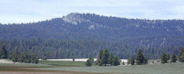
Bake Oven Dunes, near Monache Meadows

Kern Hot Springs. Golden Trout Kern River, Golden Wilderness Trail Map, Sequoia, South Sierra Backpacking Maps, Forks of the Kern River Map, Jerky Meadow Trailhead, Big Whitney Meadow, Kern Peak, Coyote Peaks, Grey Meadow, Little Kern River, Kern Canyon, Jordan Hot Springs, Casa Vieja Meadow, and Monache Meadows: which is wonderful camping, hiking and fishing the South fork of the Kern River. 4×4 recommended to access Monache!

Golden Trout Trail Map

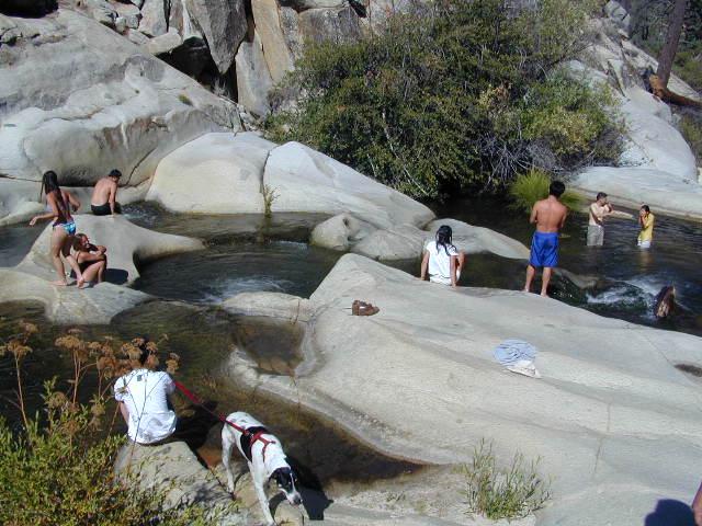
Granite Pools, moderate hiking distance from Camp 4 on Rd# 22S82

Forks of the Kern

Lloyds Meadow Road is a paved access road – N of Johnsondale, approximately 30+ miles north of Kernville, CA. Sequoia Forest Road #22S82 is also called Jerky Meadows Road and Lloyds Meadow Road; leads north paralleling the Kern River Gorge. This canyon area lies east of and below Dome Rock and Needles, located on the Western Divide Hwy. One developed NFS campground, Lower Peppermint Campground, is situated along Forest Route 22S82. (open seasonally June-November)

There are also dispersed camping areas located on the opposite side of the street, Camp#2, Camp#3, Camp#3, Camp#4, a few of which are RV accessible. Others may require a high clearance vehicle or 4WD to access the most secluded camps. Horse camping is popular along this route as well.hikers map

The paved access road 22S82 dead-ends at the Jerky Meadow trailhead and parking lot. Horse packing, fishing trails and backpacking.

recent wildfires in this area:

Windy Fire 2021
Castle Fire / SQF Complex 2020
McNally Fire 2002
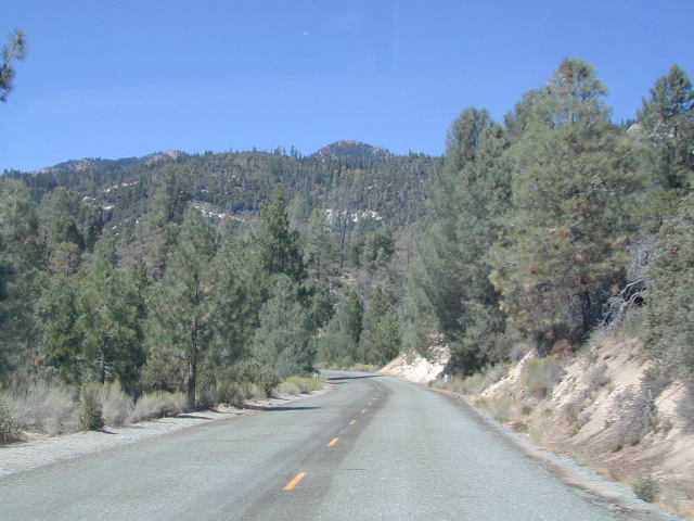
Jerky Meadows Rd

Jerky Meadows Rd is NF Route #22S82

horse trail maps

Golden Trout Topo Map

Golden Trout Kern River access on NF Rd #22S82

fishing map Golden Trout Trails

Kern River Map

Siskiyou Map

Northern Cal Rivers and Forests

Siskiyou Topo Maps, NorCal

The Siskiyou Mountains border the Oregon state line at deep rivers and dense wild land. Bigfoot country, or so they say. Forested, hard to access country, whitewater creeks and river canyons of northern California.

  • Siskiyou Wilderness is located inside California, northwest of the Klamath River and CA Highway 96.
  • Siskiyou National Forest is public land USDA in southern Oregon, west of Interstate 5, portions of which span into California.

hiking

Siskiyou Wilderness Trail Map

Siskiyou Wilderness MapSiskiyou Wilderness Map

2024: CURRENTLY OUT OF PRINT

Wilderness Area located inside California, west of the Klamath River and north of SR 96. Indian Creek marks the northern wilderness boundary, while Blue Creek defines the south end.

Elk Valley trailhead camp is a prime spot, tucked deep into the Wilderness, accessible by a paved back road from Highway 96.

Siskiyou Wilderness, part of Klamath & Six Rivers National Forest. California – Oregon border area. Northern California @ Happy Camp, Klamath River, Clear Creek, Independence Creek, Baldy Mountain, Curry Homestead, Poker Flat, Kelly Lake, Youngs Peak, Patrick Creek, Smith River, Raspberry Lake, Chicago Peak, Oregon Hikes, Devils Punchbowl, Buck Lake, Island Lake, Little Bear Valley, South Kelsey National Recreation Trail, Ship Mountain Lake, Bear Basin Butte, Little South Fork Waterfall, Harrington Lake, Elk Valley, Blue Creek, Muslatt Mountain, Deer Lick Lake, Beans Camp.

Scale 1″ = 1 mile; Waterproof plastic map paper. Perfect for a day hike reference or extended backpacking adventures. ISBN# 9781593514730

hiking


Wild Rivers OR

Siskiyou National Forest Maps

Oregon Camping & Hiking Topo Map

Siskiyou National Forest Map, Coos Bay, Northern California – Oregon border.

coos bay oregon

Siskiyou Hiking Maps, Topographical Maps Grant Pass, Brookings, Gold Beach, Cave Junction, Powers, Merlin, OR. Hwy 199, Snow Camp Lookout, Agness, Big Pine Trail, Port Orford, Pearsoll Fire Lookout Tower, Oregon Maps, Whitehorse Campground, Schroeder, Lake Selmec, Almeda Park Camping, Indian Mary Campground, Hog Creek, Harris Beach State Park, Humbug Mountain State Park Oregon. Printed on paper in 1997

Siskiyou Peaks:
Klamath Knot to Ashland 

NFS

USFS, United States Forest Service – aka National Forest Service

Yosemite High Country Map

Yosemite High Country Map
by Tom Harrison Maps

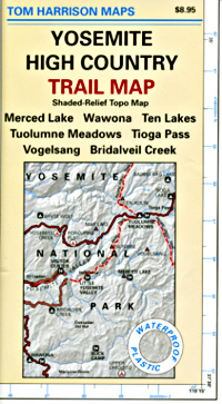
Yosemite High Country

Yosemite High Country Map. Topographic; Backpacking Yosemite Backcountry, Topo Maps of Yosemite National Park Highcountry, Camping Yosemite Park Hiking Trails.

HIGH SIERRA LOOP
TOPO MAP YOSEMITE

Durable, waterproof plastic map; Folded. Map Scale: 63K; ISBN# 9781877689581

Explore the Yosemite high elevation back country with this detailed topographic map, which gives contour lines, trails and information for campers, hikers, and outdoor enthusiasts. GPS compatible w/ complete UTM grid. Beautifully designed over the USGS topographic quads, enhanced with shaded relief.

Includes these areas: Merced Lake, Wawona, Ten Lakes, Tuolumne Meadows, Tioga Pass, Vogelsang, Bridalveil Creek

Yosemite Maps

OLD EDITION

Yosemite Mapdownload digital version of this map –
Yosemite High Country Map

Yosemite backcountry Map

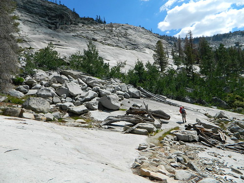
Granite slopes trail hike to Merced Lake

Highest peak in Yosemite National Park with the best granite scenery and alpine lakes, forests, wildlife and of course, epic views around every bend. Horseback or hiking trails are the only way to enjoy this amazing place. But please remember that it is often buried in deep snow more than half the year, so you only get a few months (summer) to enjoy this landscape and hike the best trails in the Sierra.

hikers map

Yosemite Topo Map

CLICK TO ENLARGE

Yosemite High Country Map

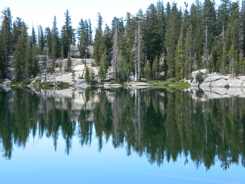
ALPINE LAKES, Yosemite National Park

Modoc National Forest Map

Modoc NF Map
NFS – USDA – U.S. Forest Service

Modoc National Forest Map

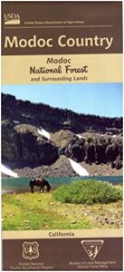
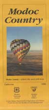
Modoc Country
Northeast California
Pit River, Warner Mountains

Modoc National Forest Map

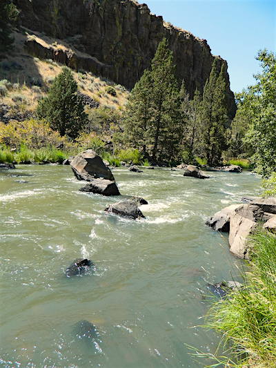
Pit River in Jess Valley

MODOC NF Map

Modoc Country Map. Modoc & Lassen County, Alturas, Tulelake, Cedarville, Warner Mountain, South Warner Wilderness

Standard Issue. Ranger Map – NFS issued map. GPS: Longitude & Latitude; Rivers, Creeks, Peaks, Elevations, 4WD & every dirt BackRoad, Hot Springs, Equestrian Areas, all Campgrounds, Hiking Trails & BackPacking Trailheads. Northeast CA state.

Modoc Map

OLDER VERSION

Modoc National Forest MapAreas include: Northeastern California, Modoc County, Lassen County, Alturas, Tulelake, Cedarville, Adin, Lava Bed National Monument, Devil’s Garden Wetlands, Big Valley, Doublehead, Warner Mountain, Goose Lake, South Warner Wilderness, Medicine Lake, Big Sage Reservoir, Clear Lake Reservoir, Lower Klamath Lake, Tule Lake Sump, Door Knob Snowmobile Area, Long Bell State Game Refuge, Oregon border.

Map Size: 39″x45″ overall / 4″x9″ folded; Printed on plastic.

see also – Modoc Topo Atlas

Modoc National Forest Map

Mill Creek Falls & Campground

Looking to escape the crowds in California? Then head north, way north, to the eastern reaches of Modoc. This remote, high-elevation area gets some serious winter weather and snow, so visiting during the warmer months would be ideal for -camping, backpacking, horseback riding, fishing, kayaking, hiking, hunting and off roading. Hundreds of miles of dirt roads weave in and out of dense forests, around lakes, over creeks and connect Alturas to Cedarville, CA

Northern California Forest / Modoc Country: Modoc National Forest

Wilderness areas in Modoc: South Warner Wilderness Map

Modoc National Forest Map

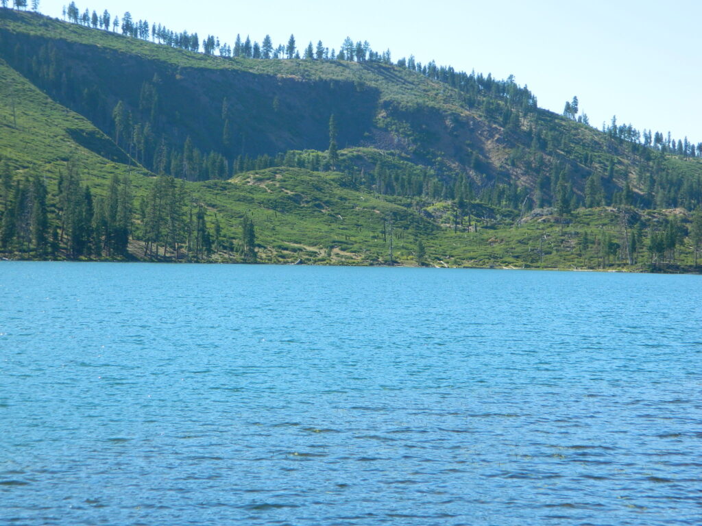
Blue Lake of Modoc NF

nearby towns: