Mount Whitney Hiking Maps

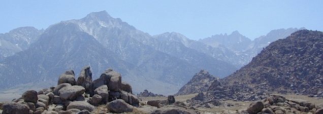
Mount Whitney Hiking MapsThe tallest mountain peak in the lower 48 means that this region is a super popular destination with avid hikers, mountaineers and backpackers alike. Physical fitness must be top priority in training for this ultimate bucket list choice.

Usually only accessible about half the year, due to snow (NOV-MAY) and permits are required. To obtain a wilderness hiking permit, you must get chosen from a lottery months in advance. No joke!

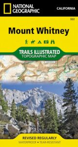
Mount Whitney Map

Mt Whitney Topo
by NatGeo Trails Illustrated

Mount Whitney High Country Map
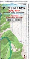
Mount Whitney Zone Map

both Topographic Maps by Tom Harrison (listed below)
Mount Whitney Hiking Maps

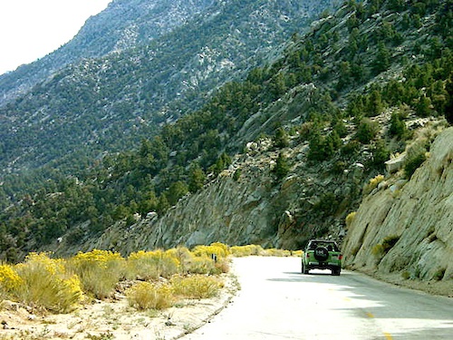
Whitney Portal Road

Mount Whitney Zone
Tom Harrison
Whitney Zone Map

Mount Whitney Hiking Maps

OLDER VERSION

Mount Whitney Map, Whitney Portal. Topo Trail. Mt Whitney maps. Tom Harrison Trail Map: Mount Whitney Zone Trail Map, Lone Pine, CA; Areas include: Whitney Portal, Crabtree, Cottonwood Lakes, Rock Creek. Whitney Portal Trailheads, Outpost Camp, Trail Camp, Whitney Summit, Mountaineer’s Route, High Sierra Trail, Crescent Meadow, and the John Muir Trail Junction.

Durable, waterproof plastic map; Folded. Map Scale: 31.7K; ISBN# 9781877689697

digital mapsdownload digital version of this map
Mount Whitney Zone Map
Mount Whitney Hiking Maps

hiker

Mount Whitney Hiking Maps

Mount Whitney High Country Map
Tom Harrison
Whitney High Country

Mount Whitney High Country Map, Whitney trail map, Topo trails. Tom Harrison Trail Map: Mount Whitney High Country, with Lone Pine California. Pear Lake, Lodgepole, Mineral King, Mt. Whitney Peak, Kern Canyon, Ash Mountain, Whitney Portal, Little Five Lakes, Bearpaw Meadow, Triple Divide Peak, Cottonwoods Lakes, Horseshoe Meadow. Eastern Sierra, High Sierra Backpacking, Mount Whitney Map, Hike, Inyo National Forest, Eastern Sierra, Mount Whitney Map by Tom Harrison, Hike, Inyo National Forest, Eastern Sierra Hikes, Mt Whitney California Topo, Waterproof, Topographic Maps California, Sierra Whitney Hike, High Country Trails, California Sierra Mountains Durable, waterproof plastic map; Folded. Map Scale: 63K; ISBN# 9781877689512

avenza mapsdownload digital version of this map
Mt. Whitney High Country Map
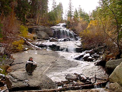
WhitneyFalls

additional
MT. WHITNEY MAPS

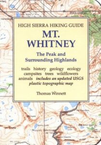
Mount Whitney Booklet

Mount Whitney to Bishop Trail Map

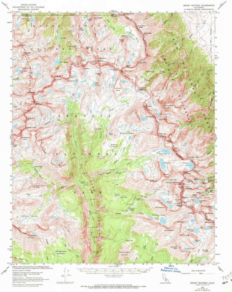
Whitney Topo Map

see also –
NatGeo Mount Whitney Map
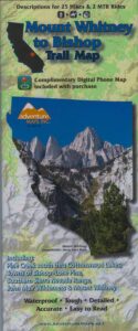
John Muir Wilderness Maps

JMT: John Muir Trail Map

High Sierra Trail

hikerThe John Muir Trail is a long-distance hiking trail in the Sierra Nevada mountain range of California, passing through Yosemite, Kings Canyon and Sequoia National Parks.

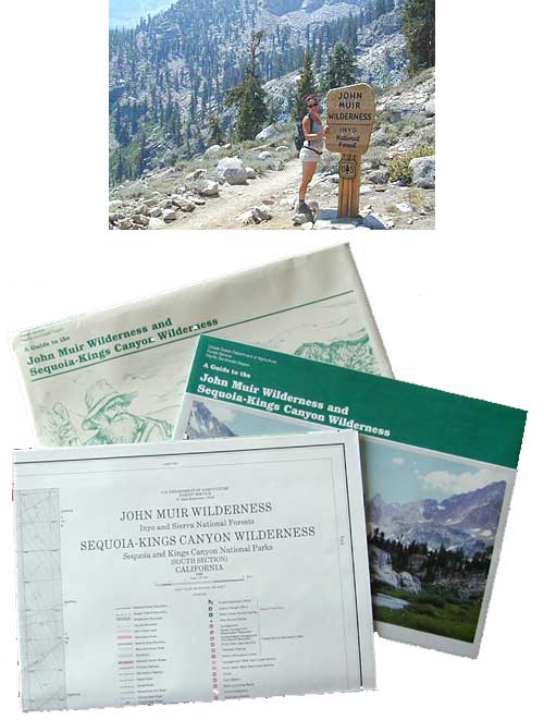
USDA makes paper maps for John Muir Wilderness w/ Kings Canyon, and Tom Harrison offers the waterproof John Muir Map Pack. National Geographic also makes a topo map for the John Muir Trail.

John Muir Wilderness

Onion Valley Campground

Ansel Adams Wilderness

driftwood

John Muir Maps USDA
John Muir Wilderness with Sequoia Kings Canyon Wilderness

johnmuirmap

U.S. Forest Service – NFS. Old school maps – two large paper sheets. Available at Inyo National Forest Ranger Stations, USGS website or the Eastern Sierra Interagency Visitors Center on US Highway 395.

Eastern Sierra Mountains
Highest Sierra Peaks

Perfect for a day hike reference or extended backpacking adventures. Map Scale = 1″ to mile; Printed on paper w/ large storage envelope. Limited availability.

gilbertlake

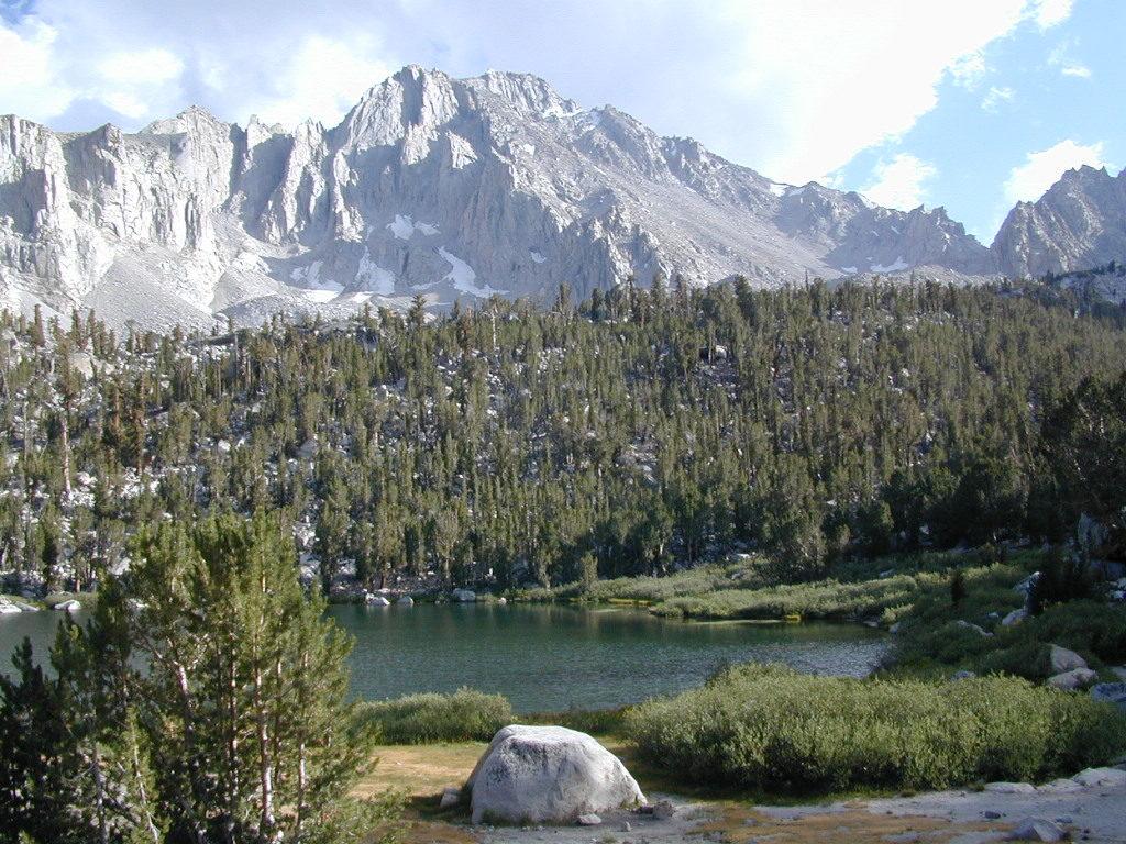
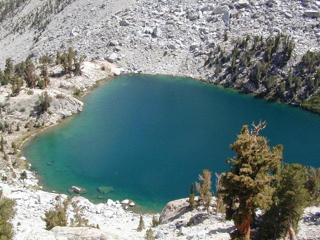
Gilbert Lake, above Onion Valley, Eastern Sierra Independence, CA

fish

driftwood

John Muir Wilderness Map Set
Tom Harrison Maps

Tom Harrison John Muir Pack
John Muir Trail Maps by Tom Harrison, High Sierra Backpacking Maps, Highcountry Trail Map. Eastern Sierra Mountains inside Inyo National Forest

Mount Whitney, Lone Pine, Independence, Big Pine, Bishop, Mammoth Lakes – Eastern California.

John Muir Wilderness Map Set of 13 individual maps. Durable, waterproof plastic map; Smaller maps, not folded. Map Scale: 63K; ISBN# 9781877689345

download digital versions of this map – avenza maps
John Muir Trail Topo Map Set

or the most popular individual maps :
John Muir Trail Map #4
John Muir Trail Map #5
John Muir Trail Map #6
John Muir Trail Map #7
John Muir Trail Map #8
John Muir Trail Map #9
John Muir Trail Map #10
John Muir Trail Map #11
John Muir Trail Map #15

Heart Lake

horseback

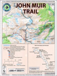
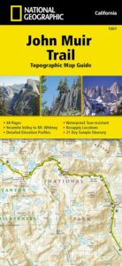
National Geographic makes a decent John Muir Trail Map too!
NatGeo John Muir

nearby towns:

lilpothole

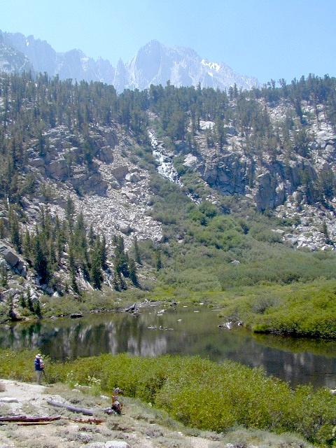
Little Pot Hole Lake, Kearsarge Pass Hike

Death Valley Maps

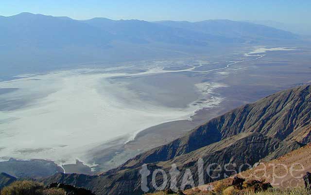
Death Valley National Park Maps
Hiking, Camping, 4×4 Routes

Death Valley Maps

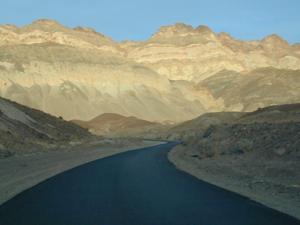
Artists Palette Drive (now paved)

Death Valley Trail Map

Topographical maps for DVNP can be found through Tom Harrison and National Geographic. Wilderness Press makes a couple of decent hiking books too.

Inyo National Forest Map from the USDA covers tall mountain peaks west of the National Park. Panamint Valley, Saline Valley, Darwin, Ballarat ghost town are all located on the west side and are also featured on these topographic maps.

National Park Map

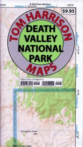
Death Valley Recreation Map, Tom Harrison

Death Valley Topo Map

Tom Harrison Recreation Map: Death Valley Maps; Death Valley National Park CA, Furnace Creek, Stovepipe Wells. Eureka Dunes, The Racetrack, Panamint Valley Off Roading, 4×4 Death Valley, Skidoo, Shoshone, Darwin Falls, Darwin Wilderness, Eureka Dunes, Furnace Creek, Zabriskie Point, Stovepipe Wells, Teakettle Junction, 20 Mule Team Canyon, Goler Wash; Barker Ranch, Ballarat Ghost Town California Mining Districts, Mojave Mining Camps, Saline Valley Hot Springs; Durable, waterproof plastic map; Folded. Map Scale: 250K; ISBN# 9781877689574

digital mapsdownload digital version of this map –
Death Valley Park Recreation Map

Death Valley Desert Maps

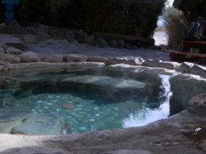
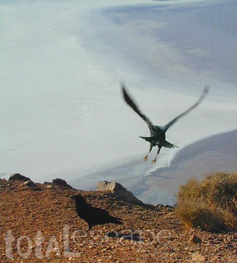
Saline Hot Pools @ Saline Valley, DVNP

DEATH VALLEY MAP

OLD VERSION


nearby towns –

death valley map

REAL OLD MAP

Death Valley Maps

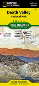
Trails Illustrated Map, National Geographic Death Valley National Park Map #221

Death Valley NatGeo Map

Trails Illustrated Map from National Geographic. Death Valley National Park map #221. Inyo Mountains, Inyo Desert Camping, Badwater, Telescope Peak, Panamint Valley, Panamint Range, Ballarat ghost town, Manson Cabin, Amargosa mountains, Death Valley Backcountry map. Hiking Map. Many, many dirt roads and old mining operations to explore. Very detailed & colorful. Waterproof Plastic Map; Tear Resistant. GPS data. ISBN#749717012219

California Desert Map

Death Valley Maps, Death Valley National Park, Furnace Creek, Stovepipe Wells, Eureka Dunes, Panamint Valley, Scotty’s Castle, Barker Ranch, Manson Ranch, Furnace Creek, Stovepipe Wells. Eureka Dunes, The Racetrack, Panamint Valley Off Roading, 4×4 Death Valley, Skidoo, Shoshone, Darwin Falls, Darwin Wilderness, Eureka Dunes, Furnace Creek, Zabriskie Point, Stovepipe Wells, Teakettle Junction, 20 Mule Team Canyon, Goler Wash; Barker Ranch, Ballarat Ghost Town California Mining Districts, Mojave Mining Camps, Saline Valley Hot Springs

hikers map

San Diego Backcountry Map

San Diego Backcountry Map

San Diego Desert Mao

TH SD topo map

OLDER EDITION

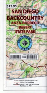
Topographic Maps by Tom Harrison: San Diego Deserts, Anza Borrego Desert. The #1 top selling map for the San Diego deserts!

San Diego Backcountry Recreation Map covers the entire Anza Borrego Desert State Park, the largest State Park in California & some portions of Cleveland National Forest; San Diego County Road S-2, S-22, Interstate 8, Highway 78 & Highway 94 to Tecate Mexico.

Areas surrounding Borrego Springs, Anza Borrego Park map, Julian & Warner Springs. PCT access (Pacific Crest Trail) plus Table Mountain, Sheep Canyon, OHV Deserts Ocotillo Wells SVRA, McCain Valley Camping, Carrizo Gorge Trestle Hike, Jacumba Hot Springs, Tierra del Sol 4×4 Trails, San Diego Lake Morena, Barrett Lake, Campo CA Potrero Regional Park, Agua Caliente Hot Springs, Vallecito, Carrizo Goat Trestle & Canyon sin Nombre Badlands.

digital mapsget a digital version of this map
San Diego Backcountry Map
by Tom Harrison

Recreation Map by Tom Harrison. Durable, waterproof plastic map; Folded. Map Scale: 125K; ISBN# 9781877689543

San Diego Desert Map

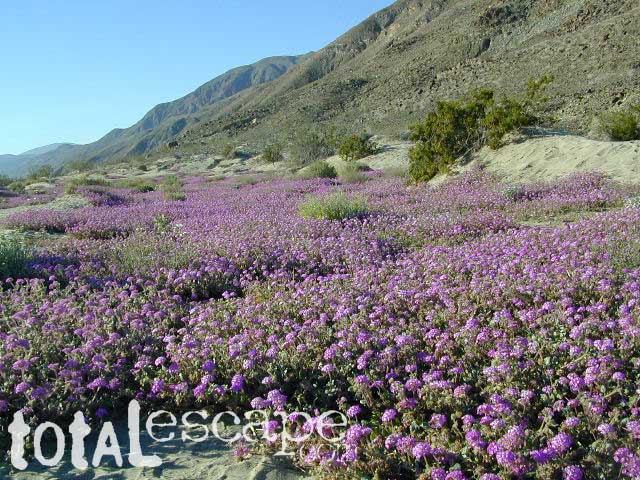
Borrego Desert is known best for Spring wildflowers (FEB-APRIL)

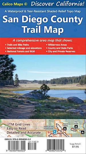
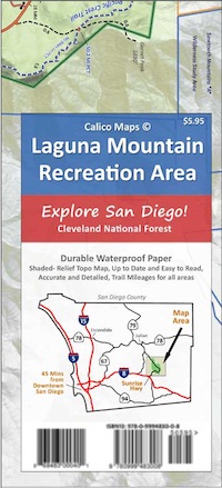
Two New San Diego Maps by Calico

San Diego County Trail Map

San Diego County Trail Map

Mount Laguna Map

Mount Laguna Trail Map

see also –
Cleveland National Forest Map 
Cleveland Forest Topo Atlas
Wilderness Press Map of Anza Borrego Desert

camp map

more exploring Anza Borrego:

Anza 4×4 Trails
Agua Caliente Hot Springs
Canon Sin Nombre Slot Canyons
Carrizo Gorge Goat Trestle
Culp Valley Camping
Great Overland Stagecoach Route of 1849
Mason Valley Truck Trail
Old Kane Springs Road
Split Mountain
Vallecito

Split Mountain Borrego

Split Mountain, Anza Borrego State Park, Southern California

4x4 maps

download digital maps

apps/maps:
download digital topos & maps

hiking

San Diego Camping, Anza Borrego Desert:

hikers map

nearby towns:

Hiking Maps Anza

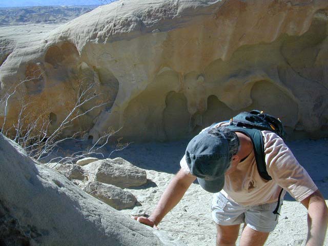
Exploring wind caves in Anza Borrego Desert

wildflower

campsunset

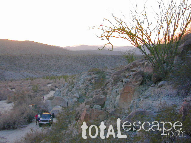
The whole canyon, all to yourself