Zuma Canyon Map

Zuma Canyon & Trancas Canyon Hiking Map
Tom Harrison
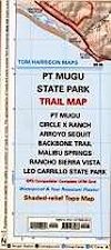
Malibu Beach Map. Zuma/Trancas Canyons Hiking Map, Mountain Biking Trail Maps, Malibu Hiking Trails Coastal Hikes; Rocky Oaks Circle X Ranch, Arroyo Sequit, Biking Backbone Trail, Malibu Springs, Leo Carillo Beach Camping, Leo Carillo State Park, Zuma Canyon, Truncas Cyn, Charmlee Wilderness Park Trails. Durable, waterproof plastic map; Folded. Map Scale: 31.7K; ISBN# 9781877689871

The name Zuma is derived from a Chumash word meaning “abundance”. Zuma and Trancas Canyons lies within the Santa Monica Mountains National Recreation Area.
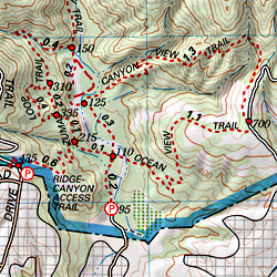
Zuma Canyon contains a number of trails for hikers, of varying severity, and is the home of a range of wildlife, including the wrentit. The eastern boundary is marked by Kanan Dume Road (N-9) and the north end is crossed by the popular Backbone Trail, a 67 mile mountain bike path through the Santa Monica Mountains.
see also –
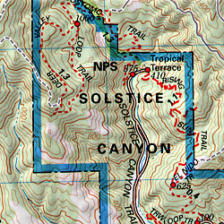
Malibu Creek Map
Point Mugu Trail Map
Santa Monica Mountains Map
Topanga Canyon Map

nearby towns: