National Geographic
Baja Maps
- camp
- fish
- hike
- kayak
- missions
- off-road
- petroglyphs
- RV
- scuba
- surf
- travel
NatGeo Baja Map Pack Bundle
Baja California, North & South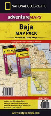
The Baja California Map Set from National Geographic. Includes both maps: Baja Norte & Baja Sur Maps. #3103 & #3104. Topographical features, towns, ranchos, main dirt roads, coves, beaches, fishing spots, surf spots, sailing; beautifully detailed. GPS compatible w/ full UTM grid. Printed on plastic in 2008. Waterproof, tear-resistant. ISBN# 9781597752237
Baja California Mexico, BC MX, Baja Norte, Baja Sur, Baja Maps, Map Set, Bundle, National Geographic Maps
![]() get a digital version of this 2 map set
get a digital version of this 2 map set
Baja Map Pack by NatGeo
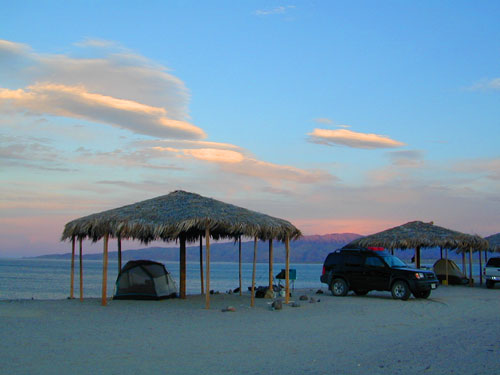
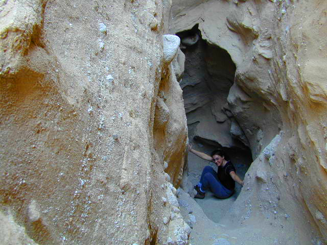
Gonzaga Bay, Baja California
NatGeo Baja Maps
Baja Norte NatGeo Map
Baja California Norte Map / Map of Baja Norte / Baja California
Baja California maps by National Geographic #3103. Baja Norte Map. This map covers the northern portion of Baja California Mexico. Topographical features, towns, ranchos, main dirt roads, coves, beaches, fishing spots, surf spots, sailing; beautifully detailed. GPS compatible w/ full UTM grid. Waterproof, tear-resistant. ISBN# 9781566952439
![]() get a digital version of this map
get a digital version of this map
NatGeo Map 3103 – Baja California North
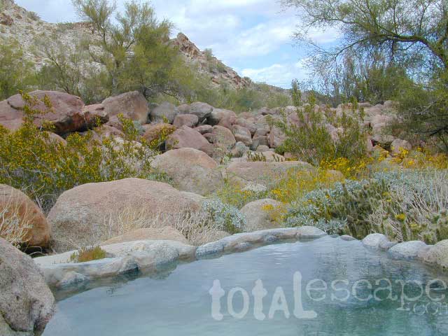
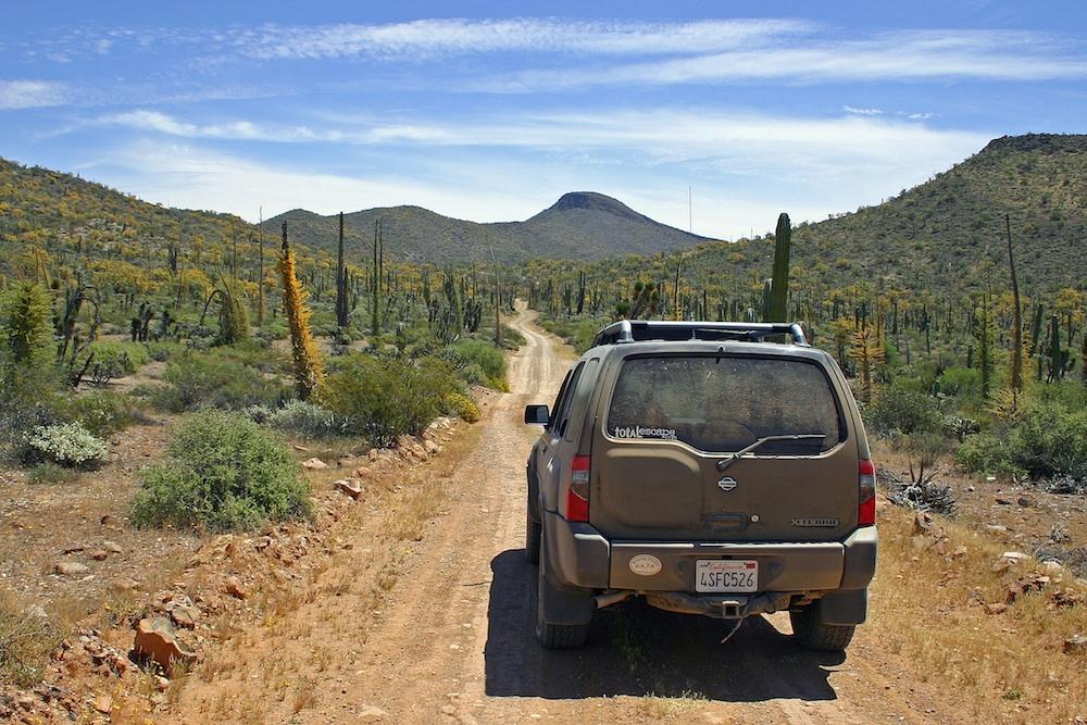
Guadalupe Canyon Hot Springs, Baja California
![]()
Baja Sur NatGeo Map 
Baja Road Map / Baja Sur Mexico Map
Baja Sur Map from National Geographic #3104. This map covers the southern portion of Baja California Mexico. Topographical features, towns, ranchos, main dirt roads, coves, beaches, fishing spots, surf spots, sailing; beautifully detailed. GPS compatible w/ full UTM grid. Waterproof, tear-resistant. ISBN# 9781566952446
![]() get a digital version of this map
get a digital version of this map
NatGeo Map 3104 – Baja California South
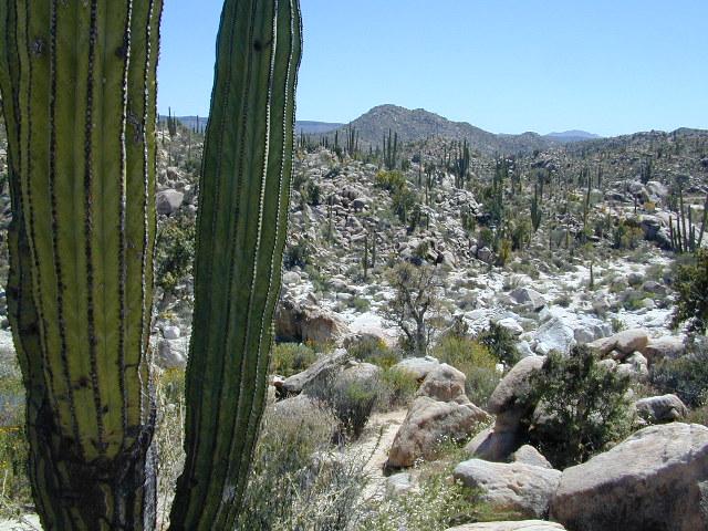
Cacti at Catavina
NatGeo Baja Maps
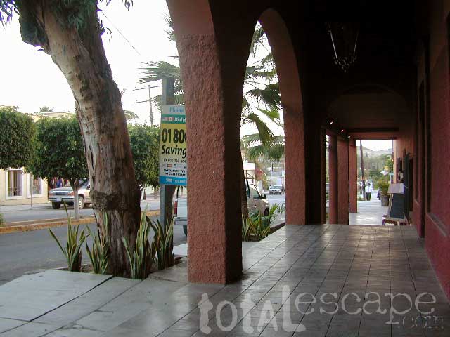
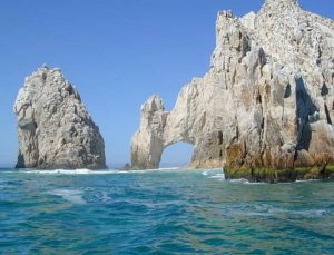
Todos Santos, Baja California Sur
see also –
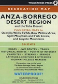
Anza Borrego Desert Map
Baja California Almanac
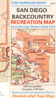
San Diego Backcountry Map

 National Forest USDA makes a paper map for the Golden Trout Wilderness which includes the South Sierra Wilderness. Good luck trying to find it; maybe @ ranger stations.
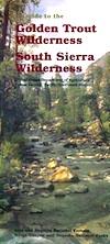

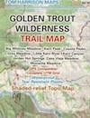
 Golden Trout Kern River, Golden Wilderness Trail Map, Sequoia, South Sierra Backpacking Maps, Forks of the Kern River Map, Jerky Meadow Trailhead, Big Whitney Meadow, Kern Peak, Coyote Peaks, Grey Meadow, Little Kern River, Kern Canyon, Jordan Hot Springs, Casa Vieja Meadow, Monache Meadows. Topo Sequoia Camping Kern River
 Extremeline also makes a Kern River Recreation Map which covers the Golden Trout trailheads, plus the whole Kern River Canyon area.