Angeles Maps

Angeles Hiking Maps

Topo Maps by Tom Harrison, National Geographic, USDA
Angeles Maps

Angeles Forest
NatGeo Map #811

NatGeo Map Angeles

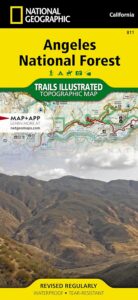
National Geographic Trails Illustrated Angeles National Forest Map #811. Los Angeles National Forest. Angeles Crest Highway 2, California State Route 14, Scenic Byways, Pacific Crest Trail, Mount Wilson, Mount Lowe, Mount Baldy, San Gabriel Mountains, Santa Clarita Trails, Magic Mountain Wilderness, Pleasant View Ridge Wilderness, San Gabriel River, San Gabriel Wilderness, Sheep Mountain Wilderness, Castaic Lake, Pyramid Lake, Piru Lake, Bouquet Canyon, Bouquet Reservoir, Elizabeth Lake, Lake Hughes, San Dimas, Azusa, Crystal Lake, Angeles Hiking Trails. GPS Compatible, Full UTM Grid. Waterproof ISBN# 9781566955775

Angeles Maps

Angeles Front Country Map
by Tom Harrison Maps

Angeles Hiking Map

Tom Harrison Trail Map: Angeles Front Country, local LA maps for Angeles Crest. Los Angeles Forest Maps, Los Angeles Hiking Map, Backpacking Maps. Angeles National Forest, San Gabriel Mountains, Hiking Angeles Crest Highway 2 California. La Canada, Pasadena, Palmdale, Wrightwood California. Durable, waterproof plastic map; Folded. Map Scale: 63K; ISBN# 9781877689659

Angeles Maps

Angeles High Country Map
by Tom Harrison Maps

Angeles Highcountry Map

Tom Harrison Trail Map: Angeles High Country Map, local LA maps. Los Angeles Forest Maps, Tujunga Canyon, Los Angeles Hiking Map, Backpacking Maps. Angeles National Forest, San Gabriel Mountains, Angeles Crest Highway 2 California. La Canada Hiking Trails Pasadena, Palmdale, Wrightwood Hiking Maps. Durable, waterproof plastic map; Folded. Map Scale: 63K; ISBN# 9781877689628

Angeles Maps

san gabriel mountains

San Gabriel Mountains Recreation Map
by Wilderness Press
[CURRENTLY UNAVAILABLE 2024]

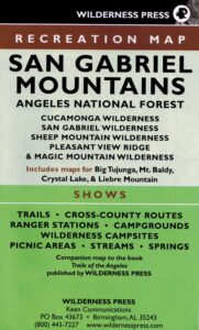
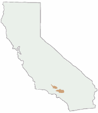
Wilderness Press Map for Los Angeles mountains region. Southern California areas include – Angeles NF, Cucamonga Wilderness, San Gabriel Wilderness, Sheep Mountain  Wilderness, Pleasant Valley Ridge, Magic Mountain Wilderness, Big Tujunga, Mount Baldy, Crystal Lake, Azusa Canyon, Liebre Mountain
Angeles Maps

see also –

L.A. Thomas Guide
Los Angeles & Orange County Street Map

Thomas Guide Los Angeles

Angeles Maps

Angeles Crest Hwy 2

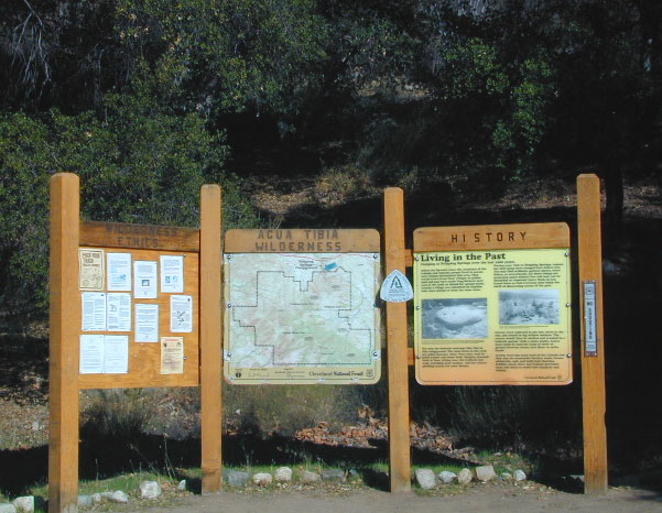
Agua Tibia Wilderness Map

Agua Tibia Wilderness
& San Mateo Wilderness 

hiking agua tibia

Agua Tibia Wilderness

Agua Tibia Map, Cleveland National Forest, San Diego Hiking Map; Temecula Hiking, Southern California

Both Agua Tibia Wilderness & San Mateo Canyon Wilderness are included in this waterproof plastic hiking topo map. Printed on plastic in 2004. ISBN# 9781593514198

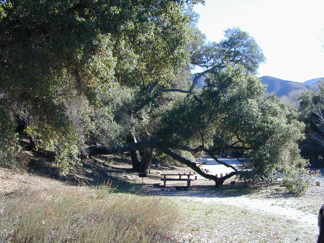
Dripping Springs Campground

Dripping Springs Trailhead @ Campground

nearby towns –
Fallbrook, CA
Palomar Mountain, CA
Rainbow, CA
Temecula, CA

temecula campground

Campground near Temecula, CA

see also –

Cleveland National Forest Map
Cleveland Forest Topo Atlas
San Diego Backcountry Map

San Jacinto Wilderness Trail Map

San Jacinto Trail Map
Mt San Jacinto Map
Tom Harrison

Tahquitz Peak / Idyllwild Mountains / Palm Springs

Mount San Jacinto Map. Southern California

Tahquitz Peak Climb, Tom Harrison Trail Map: San Jacinto Wilderness CA; Mount San Jacinto State Park Idyllwild Camping Backpacking; San Jacinto Peak, Palm Springs Hiking. Durable, waterproof plastic map; Folded. Map Scale: 42K; ISBN# 9781877689437

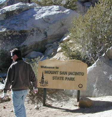
San Jacinto Peak, also known as Mount San Jacinto, is a 10,834 foot mountain peak in the San Jacinto Mountains, in Riverside County, California. Lying within Mount San Jacinto State Park it is the highest both in the range and the county, and serves as the southern border of the San Gorgonio Pass.

San Jacinto Map

OLD VERSION

To the east the peak towers over the city of Palm Springs (elevation 479′); to the west, it borders the mountain community of Idyllwild (elevation 5,413′). The steep escarpment of its north face, above Snow Creek, climbs over 10,000′ in 7 miles. This is one of the largest gains in elevation over such a small horizontal distance in the contiguous United States.

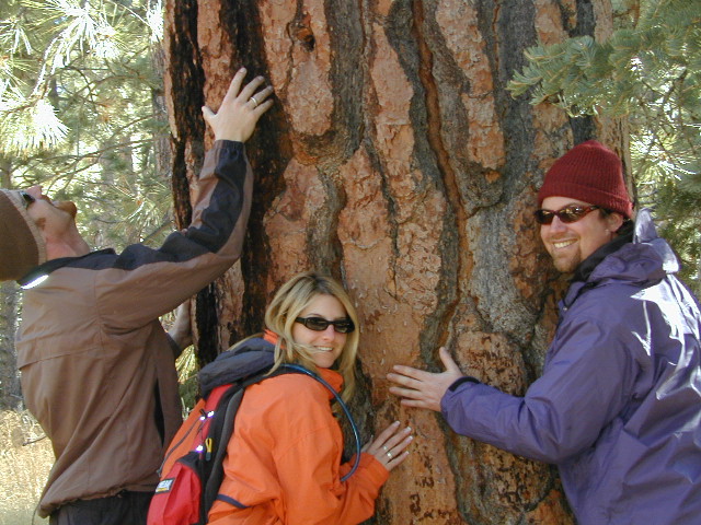
tree huggers

Tram Ride to the Top

Tram Ride to the Top

Take the Tram

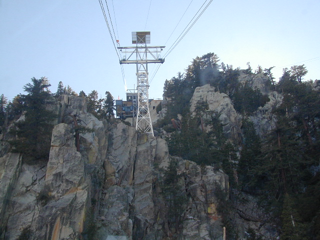
San Jacinto Peak is easily accessible, as many trails penetrate the Santa Rosa and San Jacinto Mountains National Monument. One popular route starts with a ride on the Palm Springs Aerial Tramway from Valley Station at 2,643′ feet near Palm Springs up to Mountain Station at 8,516′. From there, one can easily climb the mountain face via trails.

Another route is to hike the Marion Mountain Trail near the mountain town of Idyllwild, off Highway 243. The Cactus to Clouds Trail involves an arduous climb of approximately 10,700′ feet from the desert floor in Palm Springs to the summit. This trail has no water sources until 8,500′, so early starts are advised to avoid the temperatures which often soar above 100°F.

San Jacinto Mountains National Monument
San Jacinto State Park
San Jacinto Wilderness

SanJacinto SP

see also –

San Bernardino National Forest Map 
San Bernardino Forest Atlas
San Gorgonio Wilderness Trail Map

Pine Creek Hauser Wilderness Map

Pine Creek Wilderness and Hauser Wilderness

San Diego Backcountry Backpacking Trails

Pine Creek / Hauser Wilderness Map USDAPine Creek Wilderness Map

Pine Creek Trail Map / Pine Creek Trailhead

Pine Creek / Hauser Wilderness
( Part of Cleveland NF )

San Diego East County, Interstate 8. Best San Diego Back Roads & Hiking Trails. Laguna mountains, Sunrise Highway Campgrounds, Mountain Bike Trails San Diego. Backpacking Pine Creek, Descanso, Dulzura, Pine Valley, Alpine, San Diego County East. 1″ to mile; Printed on paper. Perfect for a day hike reference or extended backpacking adventures.

Pine Creek Wilderness Map

Pine Creek Wilderness Map

Above Interstate 8

The Pine Creek Wilderness is a sloping mountainous area of 13,261 acres, ranging from 2000′ elevation in the south to 4000′ in the north. It is situated entirely in California, bordered by the Hauser Wilderness to the south. Vegetation consists primarily of chaparral, dominated by chamise and scrub oak, with oak woodland along stream bottoms. Wilderness permits are required for both day and overnight use.

Several trails provide access, and receive only light human use. The Espinosa Trail leaves the Horsethief Trailhead on the west side of the Wilderness and switchbacks down into Horsethief Canyon taking you to the waters of Pine Creek. From the pools and falls of Pine Creek the Espinosa Trail continues to the junction with the Secret Canyon Trail, a north / south trail that leads 13 miles to the northern boundary of the Wilderness.

see also – california indpendent

Anza Borrego Desert State Park
Laguna Mountains Map
San Diego Backcountry Map
San Diego Trail Map