Tom Harrison Yosemite Maps

Yosemite Trail Maps
by Tom Harrison
Tom Harrison Yosemite Maps

Compact, waterproof, topographic maps for Yosemite National Park and surrounding high country. High Sierra, backcountry. Backpack, horse pack, trailheads, camps, mountain climbing every day!

Central Sierra Nevada mountains.
Tioga Pass = 9943′ elevation
Tom Harrison Yosemite Maps

Yosemite NP overview map –
Yosemite National Park Map
by Tom Harrison Maps

Tom Harrison Recreation Map

Yosemite National Park Map, Topo Map Yosemite Parks Trails, Hiking Trails Yosemite overview Map; GPS compatible, UTM grid; Shaded relief topo map. Durable, waterproof plastic map; Compact and folded. Map Scale: 125K; ISBN# 9781877689505
 

Tom Harrison Yosemite Maps

Yosemite Valley Trails Map

Tom Harrison Yosemite Maps

Waterfalls & Half Dome Hiking Trail Map

Tom Harrison Yosemite Maps

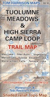
Tuolumne Meadows & High Sierra Camps
(OUTTA PRINT)

Tom Harrison Yosemite Maps

Yosemite High Country Trail Map
(OUTTA PRINT)

Tom Harrison Yosemite Maps

see also –

NatGeo Yosemite Maps
Ansel Adams Wilderness
Hoover Wilderness Trail Map
John Muir Wilderness Maps
Tom Harrison Yosemite Maps

Sequoia Kings Recreation Map

Sequoia Kings Recreation Map
Sequoia & Kings Canyon National Parks
Tom Harrison Maps

Sequoia Kings Recreation Map

Sequoia Recreation Map Backpacking Trails. Includes both Sequoia & Kings Canyon National Parks, CA Recreation Map. Areas include: Lodgepole Campground, Mineral King Canyon, Giant Forests, Grant Grove Sequoia, Ash Mountain, Silver City California, Crystal Cave Sequoia, Mount Whitney. Durable, waterproof plastic map; Folded. Map Scale: 125K; ISBN# 9781877689499

avenza mapsdownload digital version of this map –
Sequoia & Kings Canyon NP Map

Sequoia Kings Recreation Map

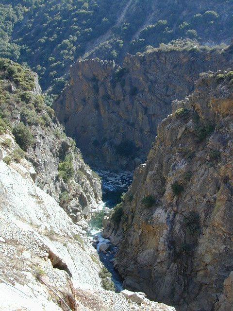
Kings River Gorge

Sequoia Kings Recreation Map

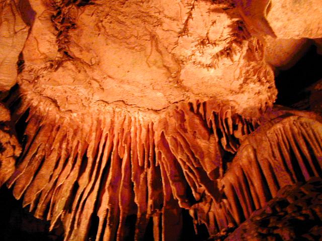
Crystal Cave, Sequoia NP

see also –

Kings Canyon Highcountry
Mineral King Canyon Map
Sequoia Kings NP NatGeo Map
Sequoia NF Map USDA

National Parks

Two National Parks, side by side

Emigrant Wilderness Trail Map

Emigrant Wilderness Trail Map
Tom Harrison Maps

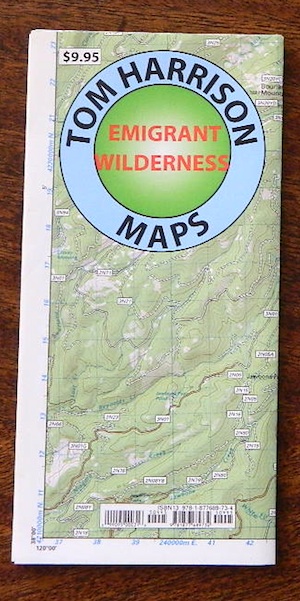
Tom Harrison Trail Map: Emigrant Wilderness Trail Map, Sonora Pass Map, Sierra Nevada; Kennedy Meadows, CA. Pinecrest Lake, Dodge Ridge, Relief Reservoir, Leavitt Lake, Leavitt Meadows, The Dardanelles, Eagle Meadows; Sonora River fishing, Dardanelle CA. Durable, waterproof plastic map; Folded. Map Scale: 63.4K; ISBN# 9780989457910

emigrant

previous map

Emigrant Wilderness Map

Central Sierra Backpacking Trails:

Sonora Pass to Yosemite Highcountry

Backcountry access, hiking trails, horseback riding, cross country skiing, deep snow (over half the year), alpine lakes, granite peaks, creek canyon forests.

From Cherry Lake (4700′), Lake Eleanore (4657′) or Hetch Hetchy (3900′), up river, northward, wilderness routes up hill to Sonora Pass. Cherry Creek, Kendrick Creek, Bourland Creek, Lily Creek, Bell Creek, Herring Creek.

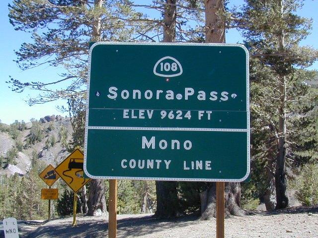
Pinecrest Lake (5616′), Emigrant Lake (8827′), Buck Lakes (8315′), Huckleberry Lake. Pacific Crest Trail (PCT) at Emigrant Pass, Grizzly Peak (10,365′), Sonora Pass (9625′) Highway 108

Backpacking trailheads are located at these places:

Cherry Lake @ Kibbie RidgeEmigrant Wilderness Trail Map

near Pinecrest Lake –

  • Bourland Creek @ Route #3N20Y
  • Lily Creek @ Route #3N28
  • Bell Meadow @ Route #4N25
  • Gianelli Cabin & Crabtree Route #4N34 (behind Donner Ridge Ski)
  • Three Meadows @ Route #4N12

near Dardanelle – 

  • Donnell Vista Point
  • Columns of the Giants
  • Seven Pines
  • Kennedy Meadows

Hoover Wilderness located directly to the east of Emigrant Wilderness.

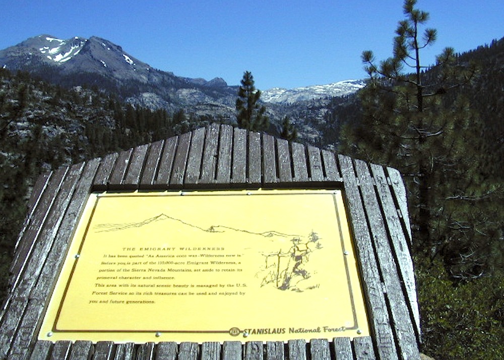
Stanislaus National Forest

Yosemite National Park 

nearby towns:Emigrant Wilderness Trail Map

"<yoastmark

see also –

Hoover Wilderness Map

Yosemite Maps by National Geographic
Yosemite Topo Maps by Tom Harrison
Stanislaus National Forest Map
Stanislaus Forest Atlas


Emigrant Wilderness Maps

Several map makers have waterproof topo maps covering the Emigrant Wilderness Area. Some have more than one wilderness per map, so know the MAP SCALE before you buy one, especially if you need it for an overnight backpacking adventure with super details.

Day hikes into EMIGRANT WILDERNESS AREA from – Sonora Pass (Hwy 108) or Yosemite @ Cherry Lake (Hwy 120).

Emigrant Wilderness – Central Sierra Nevada California

Emigrant Wilderness Maps

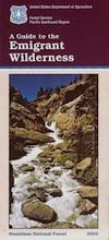
Emigrant Wilderness Map USDA

Emigrant Wilderness, South of CA 108 – Sonora Pass
part of Stanislaus NF and north of Yosemite National Park

Emigrant Wilderness Maps

OLD VERSION

High Sierra with deep snows close this region annually. Check local rangers for all road conditions, fire info, trail access points before departing on a backcountry trip. Wilderness permits and campfire permits are always required!

Waterproof Plastic Paper. 1″ to mile; Usually only found at Ranger Stations – Hard to find maps. Perfect for a day hike reference or extended backpacking adventures. Printed on plastic in 2016. ISBN# 9781628114133

Emigrant Wilderness Maps

Emigrant Wilderness Trail Map
Tom Harrison

Tom Harrison Trail Map: Emigrant Wilderness Map Trail Map, Sonora Pass Map, Sierra Nevada; Kennedy Meadows, CA. Pinecrest Lake, Dodge Ridge, Relief Reservoir, Leavitt Lake, Leavitt Meadows, The Dardanelles, Eagle Meadows; Sonora River fishing, Dardanelle CA. Durable, waterproof plastic map; Folded. Map Scale: 63.4K; ISBN# 9780989457910

Emigrant Wilderness Maps

previous version

NatGeo Wilderness Areas: Carson Iceberg, Emigrant & Mokelumne

Emigrant Wilderness Maps

Sonora Pass exploring, in search of wildflowers (mid-JULY)

Wilderness Press Topo Map: Yosemite & Vicinity