Stanislaus National Forest Map

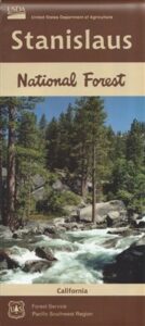
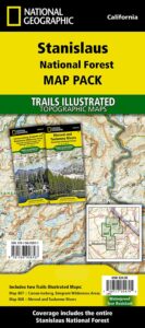
hiking trail mapExplore more of the Central Sierra Nevada Mountains with the Stanislaus National Forest Map, which covers forests on both sides of Highway 108, Sonora Pass. Gold Country foothills give way to wilderness peaks and secluded streams. California gets some serious snow up in this high country, so most areas are only accessible half the year. Plan accordingly.

stanislaus USDA

Sonora Pass Map

Stanislaus Forest Camping / Sonora Pass / Stanislaus River
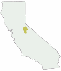
Stanislaus Sonora Maps

CA 108 Stanislaus. Stanislaus Map. Calaveras, Northwest Yosemite, Spicer Reservoir, Union, Utica Lakes, Dodge Ridge, Bear Valley Ski, Lake Alpine, Hetch Hetchy

Stanislaus National Forest Map

WATERPROOF PLASTIC MAP; water & tear resistant. Ranger Map – NFS issued map. GPS: Longitude & Latitude; Rivers, Lakes, Reservoirs, Creeks, Mountain Peaks, Elevations, 4WD routes and every dirt Back Road. Furthermore this map features Equestrian Areas, all Campgrounds, Picnic Grounds, Sierra Viewpoints, in addition to Hiking Trails & BackPacking Trailheads.

fishing map

Areas include: Gold Country California, Stanislaus County, Northwest Yosemite, Columbia, Sonora, Groveland, Twain Harte, Calaveras Big Trees, Hathaway Pines, Carson Iceberg Wilderness, Mokelumne Wilderness, Emigrant Wilderness, Cherry Lake, Pinecrest Lake, Spicer Reservoir, Donnell Lake, Tuolumne River, Merced River, Dodge Ridge, Bear Valley Ski, Lake Alpine, Hetch Hetchy, Union Lake, Utica Reservoir, Salt Springs Reservoir, Beardsley Lake, State Game Refuge, Mi-Wuk Village.
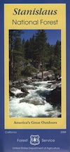
USDA Map Stanislaus

OLDER VERSION

see also

Carson Iceberg Wilderness Map
Emigrant Wilderness Map
Fishing Maps for California
Merced and Tuolumne Rivers Map
Stanislaus Forest Topo Atlas
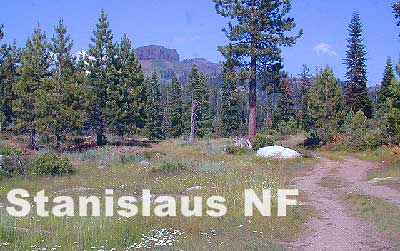
Sonora Pass Camping Maps

stanislauspak

Stanislaus National Forest Map and Sonora Pass: Backpacking, Camping, Fishing, Hiking, Kayaking, Off Roading, Stargazing and Rock Climbing

Gold Country California

Stanislaus National Forest
Stanislaus River

nearby towns:stanislaus horseback trail map

Sequoia National Forest Map

Sequoia Mapssierra redwoods map

NFS – USDA – U.S. Forest Service

Sequoia National Forest Map

Kern River Canyon, Upper Kern, Lower Kern, Kern Plateau, Western Divide Highway, The Needles, Mountain Home SF, Sequoia National Park, Kings Canyon NP

River Raft Launch Spots, All Creeks, Peaks, Elevations, 4WD & every dirt Back Road, Hot Springs, Equestrian Areas, all Campgrounds, Hiking Trails & Backpacking Trailheads.
Sequoia Forest Maps
Areas include: Southern Sierra, Giant Sequoia, Western Divide Highway, Kern Canyon, Hwy. 178, Walker Pass, Kernville, Lake Isabella, Sugarloaf, Domelands, Kern River, Kennedy Mdws, Sherman’s Pass, Monache Mdws, South Sierras, Rincon, Canebrake, Dome Rock, The Needles, Western Divide, Ponderosa, Springville, Tule River, Jennie Lakes Wilderness, Golden Trout Wilderness, surrounding areas to Kings Canyon & Sequoia National Park, Miracle, Democrat, California Hot Springs.

Map Size: 28″x 54″ overall / 4″x9″ folded; Printed on waterproof plastic in 2011. ISBN# 9781593515096


sequoia grove map

USDA map

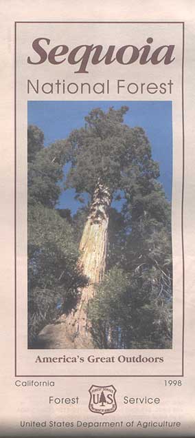
1998 Sequoia NF Map

Sequoia National Forest Maps
previous versions of this map:

Giant Sequoia Map

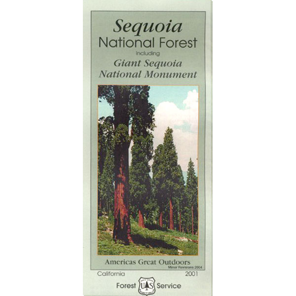
2001 Giant Sequoia Map USDA

see also
Sequoia Forest Topo Atlas
Sequoia National Park Maps
Mineral King Map
Dome Land Wilderness Map
Southern Sierra Wilderness Map
Golden Trout Wilderness Maps
Kern Recreation Map

Best Kern River Camping, Western Divide Giant Sequoia, Southern Sierra Nevada Mountains

topo maps south sierra

2022: Recent wildfires have taken a huge toll on the Sequoia groves of the Western Divide (Southern Sierra) and ancient groves inside the National Parks (Central Sierra). Forests all around Alta Sierra, California were burnt, as well as the paved route to Jerky Meadows.  Campgrounds could be closed, dirt roads gated and locked; hiking trails off limits. Visit the Sequoia National Forest web site for up-to-date info regarding closures.

horse trail maps

Sequoia & Kern River Links

Big Meadow Sequoia
Dispersed Camping Sequoia 
Kern Flats Free Camping
Kern River Campgrounds
Kern River Camping
Kern River Canyon
Kern River Hot Springs
Lloyds Meadow Rd
Sequoia NF Camping
Sequoia OHV
Trail of 100 Giants Grove
Mountain Home State Forest

SequoiaSUV

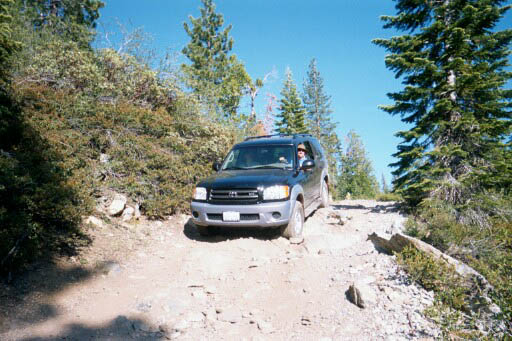
Toyota Sequoia SUV 4×4

Kern River Camping, Giant Sequoia Park:

Sequoia National Forest

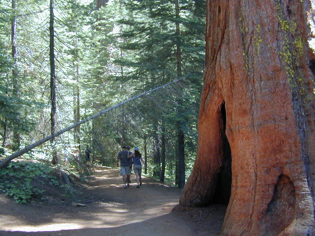
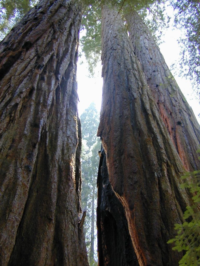
Giant Sequoia Pair

Giant Sequoia Pair

Sacramento Books

Books for Sacramento Valley, American River, Sacramento River, Gold Country, Western Sierra Nevada, California

Sacramento River Valley & Sierra Foothills

Sacramento Books

Sacramento Books


Sacramento Books

Sacramento Books

Sacramento Books

Half Dome Hiking Map

Half Dome Hiking Map

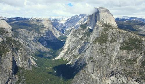
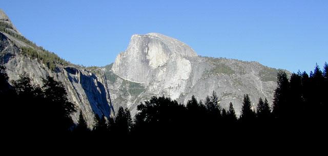
Half Dome view from Glacier Point (photo SKIP JONES)

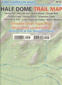
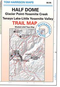
Half Dome Trail Map

Hiking to Half Dome is very long day trip, on foot, uphill half the way, with excessive elevation gain and loss. Leave toward the trailhead before day break and get back after sundown. No kidding: 17 miles round trip. You must be in excellent shape to tackle this trail, as it involves discipline and strength. Super scenic waterfalls and viewpoints all along the way. Some prefer to do an overnight trek w/ backpack, food and permits.

Half Dome Hiking Map
Tom Harrison Maps

Half Dome Hiking Map

Hike Half Dome Yosemite Trails, Backpacking Yosemite National Park, Climbing Half Dome, Yosemite Day Hikes, Backpacking Maps; Areas include: Glacier Point Hike, Yosemite Creek, Yosemite Falls, Tenaya Lake, Yosemite Valley, Vernal Falls, Nevada Falls, North Dome, Clouds Rest, Teneya Lake, Yosemite Creek, Panorama Trail, Mono Meadow, Little Yosemite Valley.

Durable, waterproof plastic map; Folded. Map Scale: 31.7K; ISBN# 9781877689703

avenza mapsdownload digital version of this map –
Half Dome Hiking Map

Half Dome Yosemite

Yosemite National Park

The geology of the Yosemite area is characterized by granitic rocks and remnants of older rock. About 10 million years ago, the Sierra Nevada was uplifted and then tilted to form its relatively gentle western slopes and the more dramatic eastern slopes. The uplift increased the steepness of stream and river beds, resulting in the formation of deep, narrow canyons. About one million years ago, snow and ice accumulated, forming glaciers at the higher alpine meadows that moved down the river valleys. Ice thickness in Yosemite Valley may have reached 4,000 feet during the early glacial episode. The downslope movement of the ice masses cut and sculpted the U-shaped valley that attracts so many visitors to its scenic vistas today.

Half Dome Hiking Map

OLD MAP HALFDOME

Half Dome Hiking Map

OLDER VERSION

see also –

Yosemite Books
Yosemite Valley Trail Map
All NatGeo Yosemite Maps
All Tom Harrison Yosemite Maps

Half Dome Hiking Map

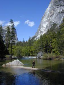
Below Half Dome, Mirror Lake