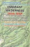
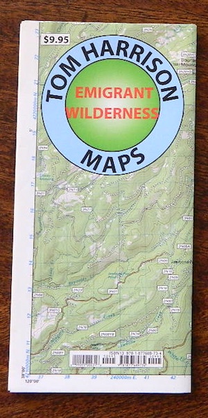
Emigrant Wilderness Trail Map
Tom Harrison Maps
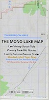
Tom Harrison Trail Map: Emigrant Wilderness Trail Map, Sonora Pass Map, Sierra Nevada; Kennedy Meadows, CA. Pinecrest Lake, Dodge Ridge, Relief Reservoir, Leavitt Lake, Leavitt Meadows, The Dardanelles, Eagle Meadows; Sonora River fishing, Dardanelle CA. Durable, waterproof plastic map; Folded. Map Scale: 63.4K; ISBN# 9780989457910
previous map
Central Sierra Backpacking Trails:
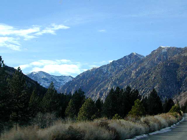
Sonora Pass to Yosemite Highcountry
Backcountry access, hiking trails, horseback riding, cross country skiing, deep snow (over half the year), alpine lakes, granite peaks, creek canyon forests.
From Cherry Lake (4700′), Lake Eleanore (4657′) or Hetch Hetchy (3900′), up river, northward, wilderness routes up hill to Sonora Pass. Cherry Creek, Kendrick Creek, Bourland Creek, Lily Creek, Bell Creek, Herring Creek.
Pinecrest Lake (5616′), Emigrant Lake (8827′), Buck Lakes (8315′), Huckleberry Lake. Pacific Crest Trail (PCT) at Emigrant Pass, Grizzly Peak (10,365′), Sonora Pass (9625′) Highway 108
Backpacking trailheads are located at these places:
Cherry Lake @ Kibbie Ridge
near Pinecrest Lake –
- Bourland Creek @ Route #3N20Y
- Lily Creek @ Route #3N28
- Bell Meadow @ Route #4N25
- Gianelli Cabin & Crabtree Route #4N34 (behind Donner Ridge Ski)
- Three Meadows @ Route #4N12
near Dardanelle –
- Donnell Vista Point
- Columns of the Giants
- Seven Pines
- Kennedy Meadows
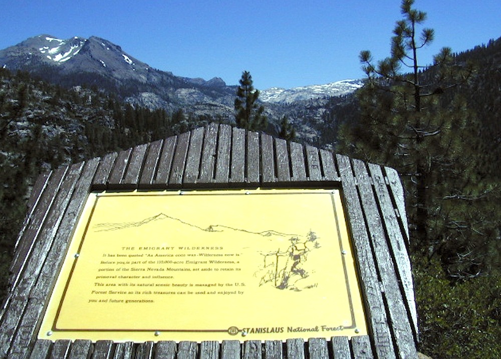
Hoover Wilderness located directly to the east of Emigrant Wilderness.
nearby towns:
- ANGELES CAMP
- ARNOLD, CA
- BRIDGEPORT, CA
- DARDANELLE
- DORRINGTON
- GROVELAND, CA
- LONG BARN
- MI WUK VILLAGE
- MURPHYS
- PINE CREST LAKE
- SONORA, CA
- SOULSBYVILLE
- STRAWBERRY, CA
- SUGARPINE, CA
- TWAIN HARTE
see also –
Yosemite Maps by National Geographic
Yosemite Topo Maps by Tom Harrison
Stanislaus National Forest Map
Stanislaus Forest Atlas
 PNW, Pacific Northwest