Outdoor Deaths

Outdoor Deaths

The books below are warnings to all who wish to be enlightened on wilderness skills and reality. Come all clumsy, clueless and naive. Outdoorsman, weekend campers or highway stranded motorists. Learn from true stories on disappearances.

City folks beware, hundreds of people go missing, vanish or die every year in the wild lands of this country. Most disappear inside popular National Parks and numerous State Parks.

If you are indeed interested to discover how easy it is for people to get lost, fall off of a cliff, get injured or attacked, drown, be kidnapped or die in the mountains – then these books may be good reading material.

On foot, by truck or by car, the stories are long and ever detailed, often ending with more questions than answers.

Books on National Park Deaths and other outdoor fatalities

Tales for Cautious Campers

Outdoor Deaths

Outdoor Deaths

Outdoor Deaths

Outdoor Deaths

Outdoor Deaths


Outdoor Deaths

Outdoor Deaths

see also – 

Outdoor Books
Outdoor Gear

State Atlases 

Kearsarge Pass Trail Map

Kearsarge Pass to Rae Lakes Loop
High Sierra, Eastern Sierra

Kearsarge Pass Map
Rae Lakes Loop Hike
Tom Harrison Maps

Kearsarge Pass Trail Map, Rae Lakes Loop, Onion Valley Hikes, Hiking John Muir Backpacking Maps Rae Lakes Loop. Onion Valley Campground; Eastern Sierra Trails, Kings Canyon High Country; Eastern Sierra, High Sierra Maps; Areas include: Rae Lakes Loop, Paradise Valley, Vidette Meadow, Charlotte Lake, Onion Valley, Bubbs Creek.

Durable, waterproof plastic map; Folded. Map Scale: 42K; ISBN# 9781877689840

avenza mapsdownload digital version of this map –
Kearsarge Pass Map

hikers map

National Forest Maps
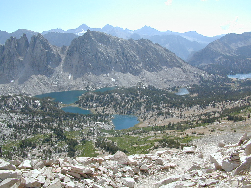
Onion Valley Campground NFS
@ 9200′ elevation

Kearsarge Pass @ 11,835′ elevation

  • alpine lakes
  • backpacking
  • camping
  • climbing
  • fishing lakes
  • hiking
  • horse packing
  • granite peaks & pinnacles
  • waterfalls
  • wilderness
  • wildflowers

horse trail maps

see also –

Kings Canyon Highcountry Map
Sequoia Kings NP Map by NatGeo
Sequoia Kings NP Map by Tom Harrison
Inyo National Forest Map
Inyo Topo Atlas
John Muir Wilderness Maps

wow scenery

High Sierra Lakes Loop Hikes

nearby towns:
Big Pine, CA
Independence, CA
Lone Pine, CA

Kearsarge Pass Map

OLD EDITION

Kearsarge Pass Map

Hike Kearsarge Pass

Kearsarge Pass Map

RAE LAKES LOOP – OLD MAP

Kearsarge Pass Map

Kings Canyon High Country