San Diego Mountains
Cleveland Forest Map
NFS – USDA – U.S. Forest Service
Cleveland Forest Map / San Diego Mountains
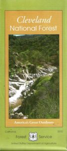
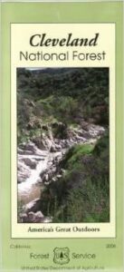
Cleveland National Forest
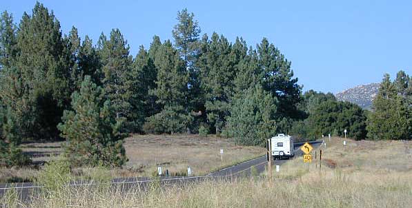
Mount Laguna, Sunrise Highway, Palomar Mountain, Julian, Cuyamaca, San Diego Mts, OC, Ortega Highway, Wildomar OHV, Temecula
WATERPROOF MAP plastic & tear resistant. Ranger Map – NFS issued map. GPS: Longitude & Latitude; Rivers, Creeks, Peaks, Elevations, 4WD & every dirt BackRoad, Hot Springs, Equestrian Areas, all Campgrounds, Hiking Trails & BackPacking Trailheads. Areas include: Southern California, Orange County, Palomar Mountain, San Diego Backcountry, Julian, Descanso, Ramona, Rancho Cuyamaca, Ortega Hwy. 74, Tucker, Trabuco Canyon, San Mateo Canyon, Caspar, San Juan Capistrano Hot Springs, Mount Laguna, Lake Cuyamaca, Wildomar, Corral Canyon, Lake Morena. Also available en espanol. Quality USDA maps created for the National Forest Service. Size: 36″x 43″ overall / 4″x9″ folded; Printed on plastic map paper in 2006. ISBN# 9781593514983
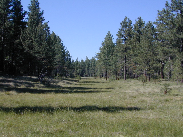
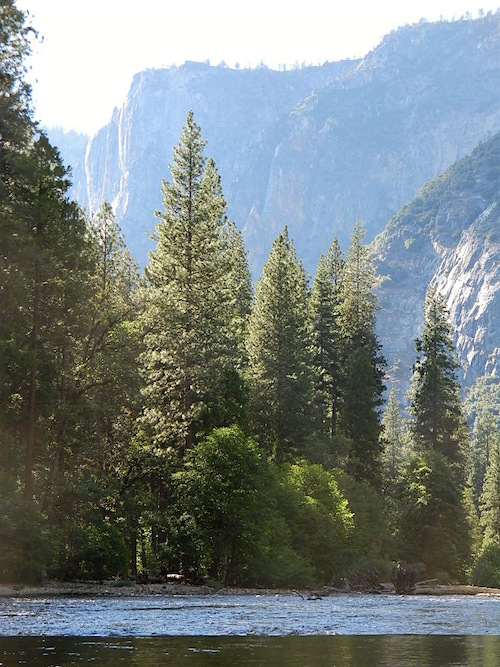
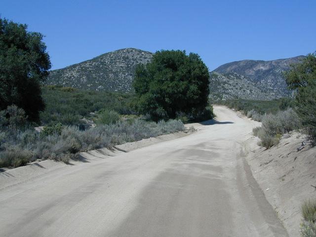
Laguna Meadows

OLDER EDITION 2006
see also –
Anza Borrego Desert Map
Cleveland Forest Atlas
Pacific Crest Trail Map #1
Pine Creek / Hauser Wilderness Map
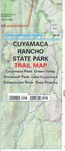
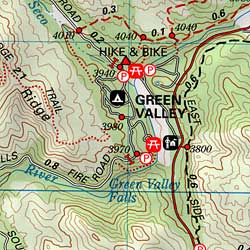
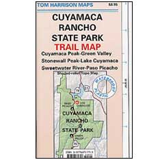
Rancho Cuyamaca Hiking Map
San Diego Backcountry Map
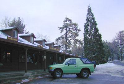
Snow @ Mount Laguna, CA
Southern California Forest / San Diego Mountains: Cleveland National Forest
- CAMPO, CA
- JACUMBA, CA
- ALPINE, CA
- DESCANSO
- MOUNT LAGUNA
- JULIAN, CA
- LAKE HENSHAW
- WARNER SPRINGS
- PALOMAR MOUNTAIN
- TEMECULA, CA
- FALLBROOK, CA
- LAKE ELSINORE
- SAN JUAN CAPISTRANO
- OCEANSIDE, CA
- RAINBOW, CA
- RAMONA, CA
- ESCONDIDO, CA
- RANCHO BERNARDO
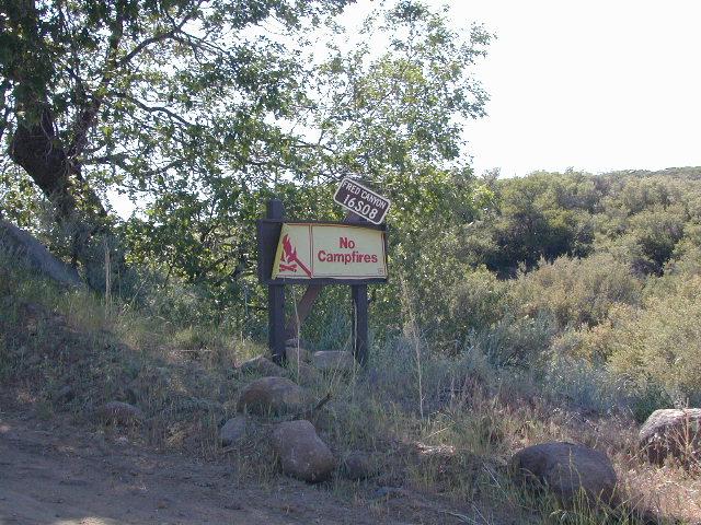
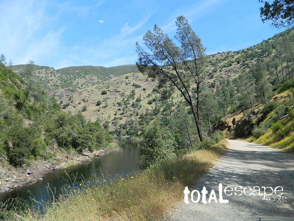
Fred Canyon off I-8
Cleveland National Forest Map: San Diego Hiking, Mount Laguna, Palomar Mountain, Julian, Cuyamaca, Ortega Hwy, Cleveland National Forest Map, Topo, Atlas, San, Diego, Mountains, San Diego Mountains, Laguna Mountains, Anza Borrego West
- antiques
- backpack
- bike
- boulders
- camp
- desert canyons
- dirt bike routes
- dirt roads
- fish
- forests
- hang glide
- hike
- historical sights
- horseback ride
- hot springs
- hunt
- meadows
- mines
- mountain bike
- observatory
- off road routes
- picnic
- sightsee
- stagecoach route
- stargaze
- train museum
- wildflowers
- wildlife
Oriflamme Canyon, Mason Truck Trail