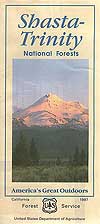
 Shasta National Forest & Trinity National Forest have a combined region in Northern California, managed by the US Forest Service. This Shasta Trinity Map covers both areas and is one of the largest and thickest of the USDA waterproof maps.


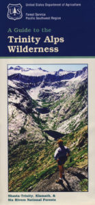
Shasta Trinity National Forest Map
Shasta Map: includes Trinity National Forest, Trinity River, Trinity Lake, Mount Shasta. Quality USDA maps created for the National Forest Service. NorCal’s finest alpine region. Trinity Alps & Mt. Shasta, Yolla Bolly Middle Eel Wilderness, Weaverville, Lewiston, Trinity Center, California WATERPROOF MAP SHASTA Ranger Map – NFS issued map. GPS: Longitude & Latitude; Rivers, Creeks, Peaks, Elevations, 4WD & every dirt back road.  Hot Springs, Equestrian Areas, all Campgrounds, Hiking Trails & BackPacking Trailheads.
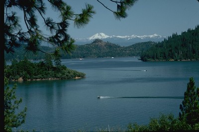
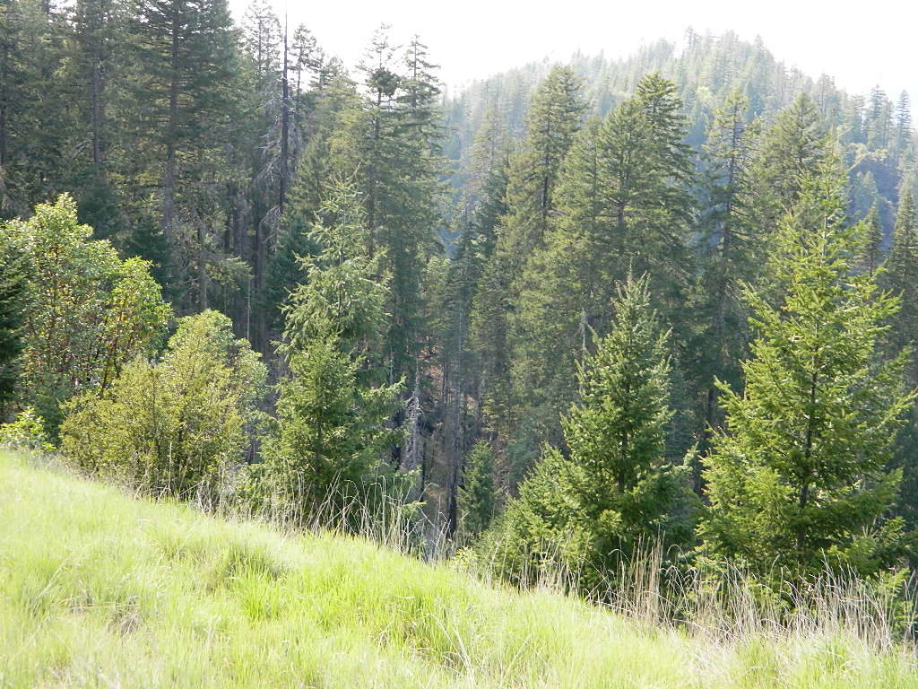
Shasta Lake, California
 Areas include: Northern California, Siskiyou County, Trinity County, Redding, Weaverville, Lewiston, Platina, Shasta Lake, Sawtooth Ridge, Trinity Alps, Hayford, Big Bar, McCloud, Castle Crags, Trinity Lake, Whiskeytown Lake, Lewiston Lake, Coffee Creek, Trinity River, Scott Mountain, Yolla Bolly Middle Eel Wilderness, Chanchelulla Wilderness, Junction City, Fork Mountain. Usually only found at Ranger Stations – Hard to find maps. Size: 39″x 45″ overall / 4″x9″ folded; Printed on plastic map paper in 2016. ISBN# 9781628114195
PREVIOUS VERSION
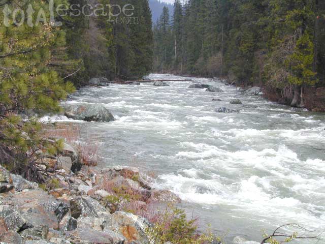
Trinity River, above Trinity Lake
see also –
Castle Crags & Shasta Map
Mount Shasta Wilderness Trail Map
Trinity Wilderness Map
Yolla Bolly Wilderness Map
OLD VERSION
REAL OLD EDITION
California Road Trips to Shasta and Shasta Camping:
Shasta- Trinity National Forest
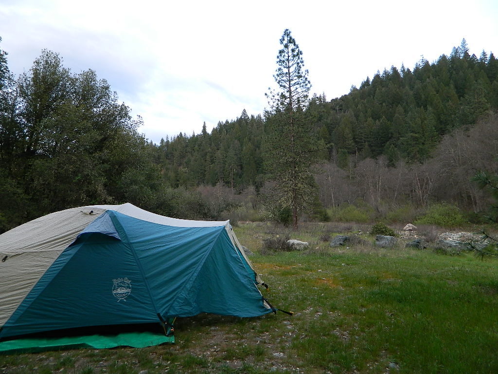
Free camping near Douglas City, Steiner Flat