Siskiyou Map

Northern Cal Rivers and Forests

Siskiyou Topo Maps, NorCal

The Siskiyou Mountains border the Oregon state line at deep rivers and dense wild land. Bigfoot country, or so they say. Forested, hard to access country, whitewater creeks and river canyons of northern California.

  • Siskiyou Wilderness is located inside California, northwest of the Klamath River and CA Highway 96.
  • Siskiyou National Forest is public land USDA in southern Oregon, west of Interstate 5, portions of which span into California.

hiking

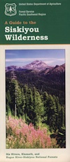
Siskiyou Wilderness Trail Map

Siskiyou Wilderness MapSiskiyou Wilderness Map

2024: CURRENTLY OUT OF PRINT

Wilderness Area located inside California, west of the Klamath River and north of SR 96. Indian Creek marks the northern wilderness boundary, while Blue Creek defines the south end.

Elk Valley trailhead camp is a prime spot, tucked deep into the Wilderness, accessible by a paved back road from Highway 96.

Siskiyou Wilderness, part of Klamath & Six Rivers National Forest. California – Oregon border area. Northern California @ Happy Camp, Klamath River, Clear Creek, Independence Creek, Baldy Mountain, Curry Homestead, Poker Flat, Kelly Lake, Youngs Peak, Patrick Creek, Smith River, Raspberry Lake, Chicago Peak, Oregon Hikes, Devils Punchbowl, Buck Lake, Island Lake, Little Bear Valley, South Kelsey National Recreation Trail, Ship Mountain Lake, Bear Basin Butte, Little South Fork Waterfall, Harrington Lake, Elk Valley, Blue Creek, Muslatt Mountain, Deer Lick Lake, Beans Camp.

Scale 1″ = 1 mile; Waterproof plastic map paper. Perfect for a day hike reference or extended backpacking adventures. ISBN# 9781593514730

hiking


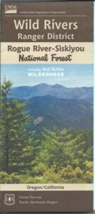
Wild Rivers OR

Siskiyou National Forest Maps

Oregon Camping & Hiking Topo Map

Siskiyou National Forest Map, Coos Bay, Northern California – Oregon border.

coos bay oregon

Siskiyou Hiking Maps, Topographical Maps Grant Pass, Brookings, Gold Beach, Cave Junction, Powers, Merlin, OR. Hwy 199, Snow Camp Lookout, Agness, Big Pine Trail, Port Orford, Pearsoll Fire Lookout Tower, Oregon Maps, Whitehorse Campground, Schroeder, Lake Selmec, Almeda Park Camping, Indian Mary Campground, Hog Creek, Harris Beach State Park, Humbug Mountain State Park Oregon. Printed on paper in 1997

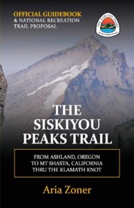
Siskiyou Peaks:
Klamath Knot to Ashland 

NFS

USFS, United States Forest Service – aka National Forest Service

Yosemite High Country Map

Yosemite High Country Map
by Tom Harrison Maps

Yosemite High Country

Yosemite High Country Map. Topographic; Backpacking Yosemite Backcountry, Topo Maps of Yosemite National Park Highcountry, Camping Yosemite Park Hiking Trails.

HIGH SIERRA LOOP
TOPO MAP YOSEMITE

Durable, waterproof plastic map; Folded. Map Scale: 63K; ISBN# 9781877689581

Explore the Yosemite high elevation back country with this detailed topographic map, which gives contour lines, trails and information for campers, hikers, and outdoor enthusiasts. GPS compatible w/ complete UTM grid. Beautifully designed over the USGS topographic quads, enhanced with shaded relief.

Includes these areas: Merced Lake, Wawona, Ten Lakes, Tuolumne Meadows, Tioga Pass, Vogelsang, Bridalveil Creek

Yosemite Maps

OLD EDITION

Yosemite Mapdownload digital version of this map –
Yosemite High Country Map

Yosemite backcountry Map

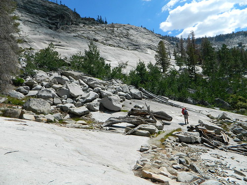
Granite slopes trail hike to Merced Lake

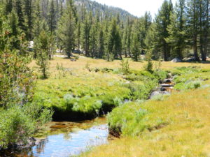
Highest peak in Yosemite National Park with the best granite scenery and alpine lakes, forests, wildlife and of course, epic views around every bend. Horseback or hiking trails are the only way to enjoy this amazing place. But please remember that it is often buried in deep snow more than half the year, so you only get a few months (summer) to enjoy this landscape and hike the best trails in the Sierra.

hikers map

Yosemite Topo Map

CLICK TO ENLARGE

Yosemite High Country Map

ALPINE LAKES, Yosemite National Park

Mokelumne Wilderness Maps

Mokelumne Maps

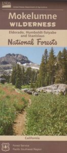
Mokelumne sits in between Carson Pass (Hwy 88) and the Ebbetts Pass (Hwy 4) – a vast Sierra mountainous area, south of Lake Tahoe. With high elevation passes that are usually closed more than half the year due to deep snow, this area becomes summer vacation haven for outdoor seekers. Mokelumne Wilderness Maps can show you the details for picnics, day hikes, trailheads, backpacking routes, horse packing trail camps, alpine lakes, reservoirs and the Mokelumne River.

Mokelumne Map USDA

mokelumne map USDA

Mokelumne Wilderness is located in the Central Sierra Nevada mountains, above the Gold Country foothills, in between Hwy 88, 89 and 4; due south of Lake Tahoe. Fish, mountain bike, kayak, camp, backpack, horseback. It is all out here in gorgeous-ville. Lakes and peaks, rivers and creeks. All of this beauty and adventure waiting for you, but only accessible half the year (or less) – due to snow. Certain areas are designated Hiking Mapfor winter recreation, cross country skiing and snowmobiling.

Mokelumne is bordered by 3 National Forests, in the middle of the Sierra Nevada mountain range: Stanislaus NF, El Dorado NF & Toiyabe NF.


Mokelumne Map

PREVIOUS EDITION MAP

Hiking Topo Map
Mokelumne Wilderness Map
#807 NatGeo

National Geographic produces high quality topo maps with Trails Illustrated. High elevation, outdoor recreation highlights, trailhead parking, all roads, all trails, all campgrounds, peaks, lakes. GPS info. Full color, 2 sided map. Map 807

Topo Maps Mokelumne

Salt Springs Reservoir

Mokelumne Wilderness

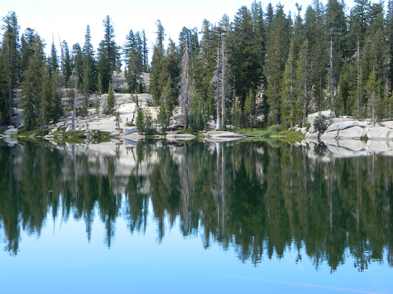
Bordering the wilderness lands for day hikes and car camp on the outskirts. Plenty of dirt road in this region will lead to dispersed camp sites. Or do a backpacking week, or a horse pack adventure – deep into the untouched wild country of the Sierra Nevada mountains.

towns nearby:

Camgrounds Maps

Free Camgrounds in the Sierra

see also –

National Forest Maps

Six Rivers Topo Atlas

6 Rivers Atlas Topo USDA
Six Rivers National Forest

6 rivers atlas

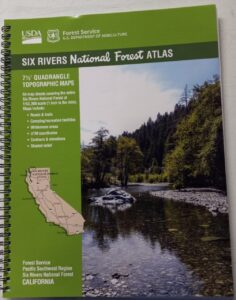
The 6 RIVERS atlas, is a spiral bound book – a collection of all the quads. (7½ minute topographical maps, of all of Six Rivers National Forest, California) This book map has detailed topo lines, mountain peaks, streams, lakes, hiking trails & back roads. Perfect for all kinds of recreational needs. These particular maps are on a per order basis, meaning most have to be special ordered from the ranger – which takes about a week to get them. USDA Forest Service book atlas.

Six Rivers Forest

Six Rivers National Forest QUADS:
from south to north –

  • Four Corners Rock
  • Long Ridge
  • Lake Mountain
  • Swim Ridge
  • Shannon Butte
  • Zenia
  • Alderpoint
  • Smokey Creek
  • Forest Glen
  • Ruth Lake
  • Black Lassic
  • Sporthaven
  • Dinsmore
  • Showers Mountain
  • Blake Mountain
  • Hyampom
  • Hyampom Mountain
  • Sims Mountain
  • Board Camp Mountain
  • Mad River Buttes
  • Ironside Mountain
  • Hennessy Peak
  • Grouse Mountain
  • Maple Creek
  • Denny
  • Salyer
  • Willow Creek
  • Lord-Ellis Summit
  • Trinity Mountain
  • Tish Tang Point
  • Hoopa
  • Salmon Mountain
  • Hopkins Butte
  • Weitchpec
  • Forks of the Salmon
  • Orleans Mountain
  • Orleans
  • Fish Lake
  • Johnsons
  • Medicine Mountain
  • Somes Bar
  • Bark Shanty Gulch
  • Lonesome Ridge
  • Blue Creek Mountain
  • Ah Pah Ridge
  • Ukonom Lake
  • Ukonom Mountain
  • Dillon Ukonom
  • Chimney Rock
  • Summit Valley
  • Klamath Glen
  • Requa
  • Prescott Mountain
  • Ship Mountain
  • Cant Hook Mountain
  • Childs Hill
  • Devils Punchbowl
  • Hurdygurdy Butte
  • Gasquet
  • Hiouchi
  • Broken Rib Mountain
  • Shelly Creek Ridge
  • High Plateau Mountain
  • High Divide

hikers map

camp map

river map
see also –
Six Rivers NF Map
PCT Map Cascades