Two different recreation maps for the Lake Tahoe Basin are created by the USDA & NatGeo. Several smaller brands for regional topographic trail maps. The US Forest Service has the Tahoe National Forest Map that encompasses a much larger area. Numerous books exist for backpacking and hiking around Tahoe.
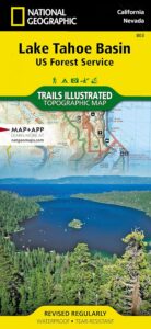
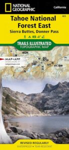
Lake Tahoe Trails Illustrated Map from National Geographic
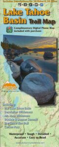
Recreation Map for Lake Tahoe Basin, Topographic Lake Map, Backroads Hiking Maps, Tahoe Backpacking, Tahoe Camping, All Campgrounds, Trailheads, Creeks and Lakes. Sierra Nevada Back Roads, Truckee River Camping and Hiking Map. Very detailed and especially colorful, topo map. In this case, a 2 -sided map, waterproof plastic map; tear resistant. GPS data. Map scale 1:63,360 / Contour Interval = 50 feet. ISBN# 9781566953344

 Many believe that Lake Tahoe was formed by the collapse of an ancient volcanic crater, but the natural lake and mountain basin was actually formed by the rise and fall of the landscape due to faulting.
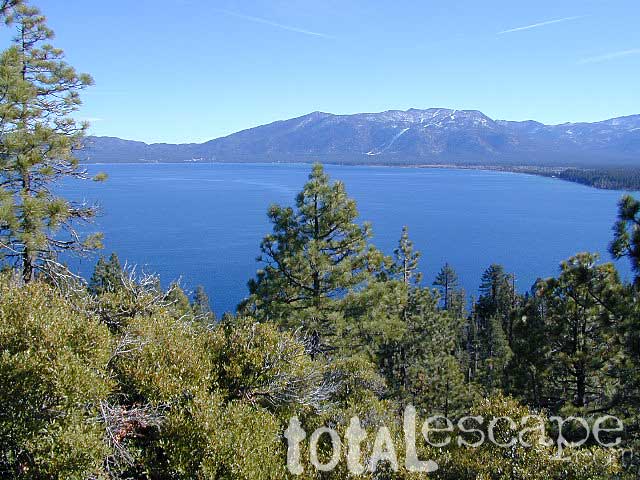
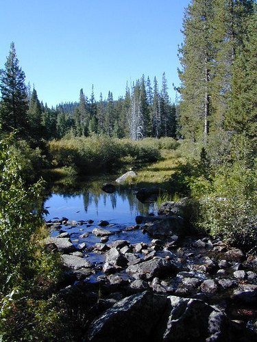
The Tahoe Basin which spans approximately 22 miles long (and 12 wide), is located on top of the Sierra Nevada mountain range. Separating California from Nevada state, a year-round, mountain resort destination. In particular, this is considered the north part of the majestic Eastern Sierra range. Furthermore, Lake Tahoe is often referred to as “Jewel of the Sierra”.
Largest freshwater, alpine lake in North America.
Second deepest lake in the U.S.
Second highest lake in the U.S.
LAKE TAHOE – 6625′ elevation above sea level
Equally as relevant, our wide range of Tahoe maps listed below are current, full color publications – covering wildlife to wildflowers, forest back roads to 4WD routes, horseback trailheads to hiking trails, mountain peaks to meadows, creeks to waterfalls, trail camps to campgrounds, and of course cross country skiing to backcountry ski tours.
NatGeo Tahoe Map Pack

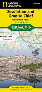
NatGeo Wilderness Map:
Desolation & Granite Chief
Adventure Maps Tahoe Trails
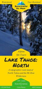
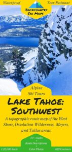
Tahoe Backcountry Ski Maps
Lake Tahoe Basin Management Unit, USDA Map
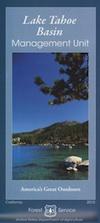
Lake Tahoe Map USDA
Lake Tahoe Basin Management Unit

Lake Tahoe Basin & Vicinity
USGS Map California: Lake Tahoe Basin Map; Sierra Nevada Mountains, Lake Tahoe, Desolation Wilderness, Granite Chief, Fallen Leaf Lake. Tahoe Recreation, Camping Map. USDA NFS Recreation Area. Certainly all forest lands, trails and roads surrounding Lake Tahoe; 10 miles all the way around lake. Printed on waterproof plastic. Pictured published 2010. ISBN# 9781593514808.
LAKE TAHOE
OUTDOOR RECREATION
- backpacking

- boating
- camping
- casinos
- cycling
- fishing
- hiking

- horseback
- kayaking
- mountain biking
- mountaineering
- off-roading
- sailing

- snow skiing
- snowboarding
- swimming
- water skiing
- xc skiing
see also –
Tahoe Rim Trail
Tahoe National Forest Map
Lake Tahoe Maps
Tahoe 4×4 Map Guide
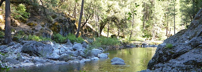
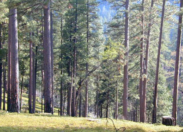
Tahoe National Forest
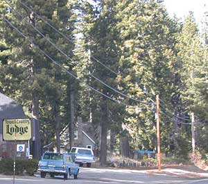
nearby towns:
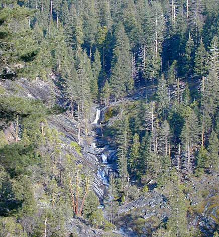
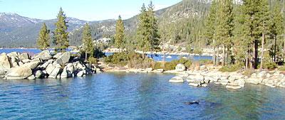
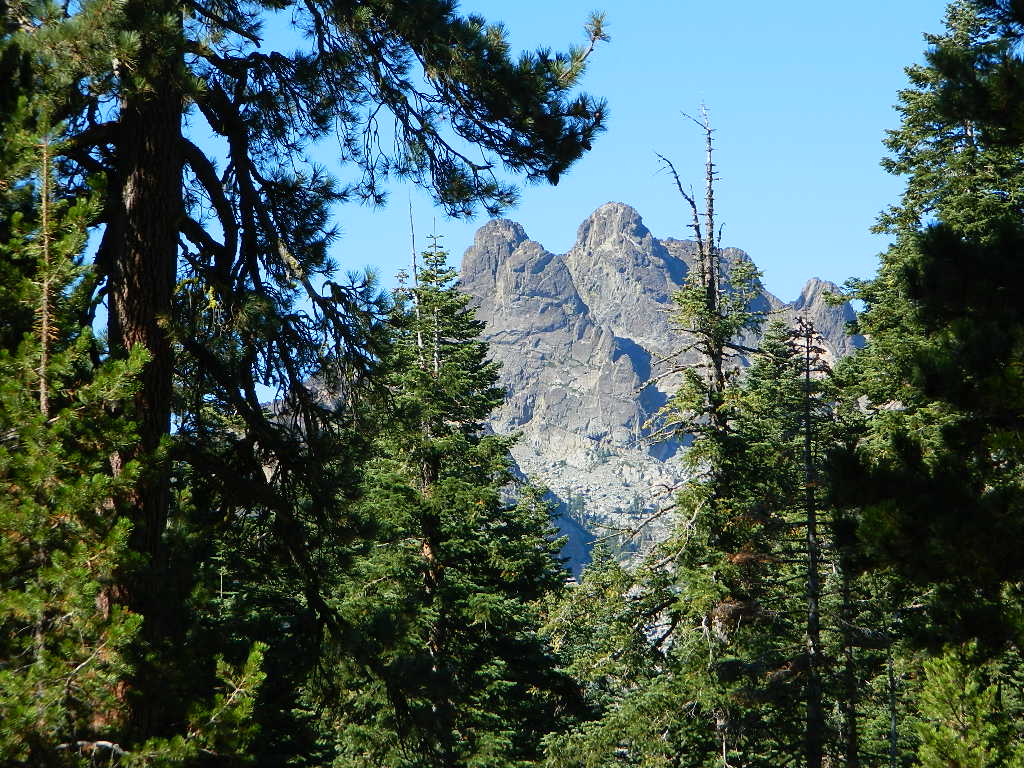
In the distance, Desolation Wilderness can be seen on the opposite side of the lake, typically covered in snow more than half the year.
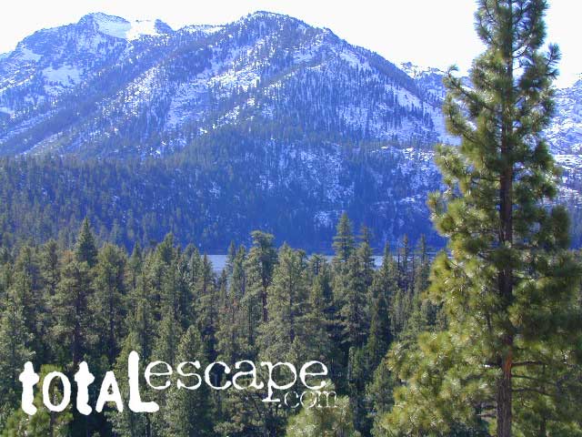
Desolation Wilderness on the Westside of Lake Tahoe


 nearby towns: